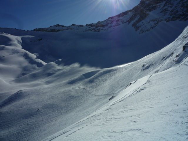
Hoher Riffler
Route Character
Short glacier splitboard / backcountry route (lift-support) with many descent alternatives from relatively easy to difficult. It is best with good corn-snow and visibility, because of the Hintertux glacier.
Starting Point & Village
Starting point: Mountain station Tuxerfernerhaus (2660m) Village: Tux
Ascent & Route
As a short-cut, we use the Tuxer Gletscherbahn up to the Tuxerfernerhaus. While the ascend, we can prepare ourselves for the beautiful, varied splitboard tour and inspect the ascent and some of the possible variants for descent. The summit can be seen on the left immediately.
On Tuxerfernerhaus, at the base of the Tuxer Gletschbahn section III we cross plane, our splitboard / ski touring ski noses heading to the east. Than you get the first challenge if you are a "pure snowboarder" or splitboarder. We descent relatively steep to the pool below the "gefrorene Wand". Now we get into beautiful hilly backcountry, hiking up to the west. We pas the "obere schwarze Platte" and go on to the Schwarzbrunnerkees.
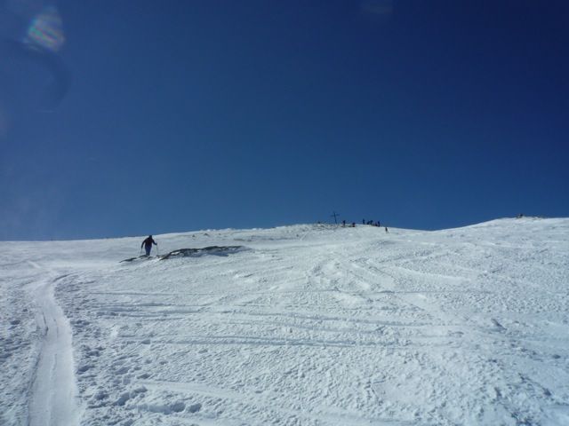
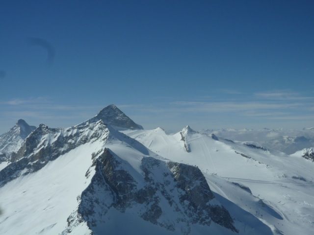
Directly below the peak of Hoher Riffler, we travers the plane glacier and arrive at a short steep section (crampons required). We hike it up and get to the Federbettenkees. Turning slightly to the right we reach the summit of Hoher Riffler 3231m.
Descent & Variants
As ascent, especially in spring-time.
Option A: If there is sufficient snow we can descent until the bottom of the valley: The easiest way is along the ascent-track and through the pool at the starting point further down to the Kleegrube. Approximately midway between the Spannaglhaus and Sommerbergalm we reach the official ski slope. Over thechairlift to Sommerbergalm and depending on snow conditions, either by cable car or on the ski slopes back to the parking lot to Hintertux.
Option B: From the top to the northeast across the upper Federbettkees to the Rifflerscharte (2868 meters). Now riding a very steep section into the Bodenkar and straight down until you come to a forest road. We use this to get back to the parking lot. This option is only recommended for very good splitboarders and in very safe condition.
Maps
Alpenvereinskarte 35/1 Zillertaler Alpen West 1 : 25 000 Topographische Karte
Kompass Karte: Mayrhofen, Tuxer Tal, Zillergrund: Wander-, Rad- und Skitourenkarte. 1:25.000
Photo Gallery
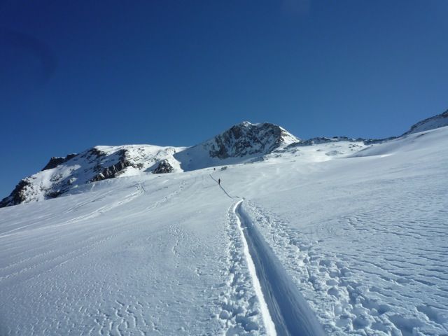
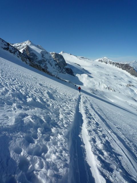
A selection of 5 photos from the tour:
Map and Avalanche Risk
[ASTRO_MAP_INFO_EN]
Image Gallery (5 Photos)
Show all 2 more photos
Slope Map
Tour Planning & Important Notes (OpenSlopeMap)
Tour Planning
You can plan and create your own tour directly in the map. The tour can then be downloaded as a GPX track.
Disclaimer
Every user of the map agrees to use the maps provided on OpenSlopeMap.org at their own responsibility and risk. OpenSlopeMap.org and its operators accept no responsibility for damages.
Map Explanation
- Slope inclinations are a very important criterion in avalanche risk management. However, slope inclination alone should never be the sole criterion!
- The resolution for Austria and South Tyrol is based on a digital terrain model (DTM) with 10m resolution. Outside these areas, accuracy is significantly lower.
- A map can only ever provide a limited view of real conditions.
Frequently Asked Questions
How difficult is this splitboard route?
The route is classified with difficulty level 4.
How many vertical meters does the tour include?
The ascent covers approximately 831 vertical meters.
How long does the ascent take?
The tour takes around 2 hours.
Where does the route start?
The starting point of the tour is Tux.