Hoher Kopf West
Route Character
This is a varied, technically easy splitboard tour destination with attractive downhill options and a great view of other rewarding peaks in the Weidener hut area.
Starting Point & Village
Starting point: Car park at the Innerst inn. (1275m) Village: Weerberg
Ascent & Route
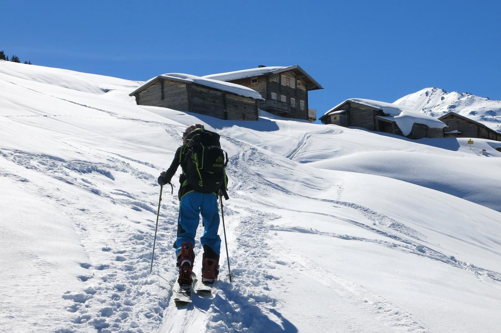
At the inn through the buildings and signposted on the right (Weidener Hütte) down into the valley to Nurpensbach and over the small bridge. It is often better to walk until here, as the small section is usually snowless or icy. After a few minutes, following the path, you come to the road (toboggan run) leading to the Weidener Hütte (formerly Nafinghütte). Here, one can “shortcut” through the forest until one reaches the toboggan run a little further into the valley after perhaps 80 metres of altitude difference. Continue for about a kilometre on the toboggan run until you reach the signposted junction where you continue diagonally to the left through a piece of woodland to reach the meadow slopes of the Hochsinnalm. Maintaining the south-easterly direction, the trail leads up to the Hochsinnalm at 1660m, between the huts and following the signs through a small ditch, then up the ridge on the left and on the right through another easy ditch to the picturesque Fiderissalm.
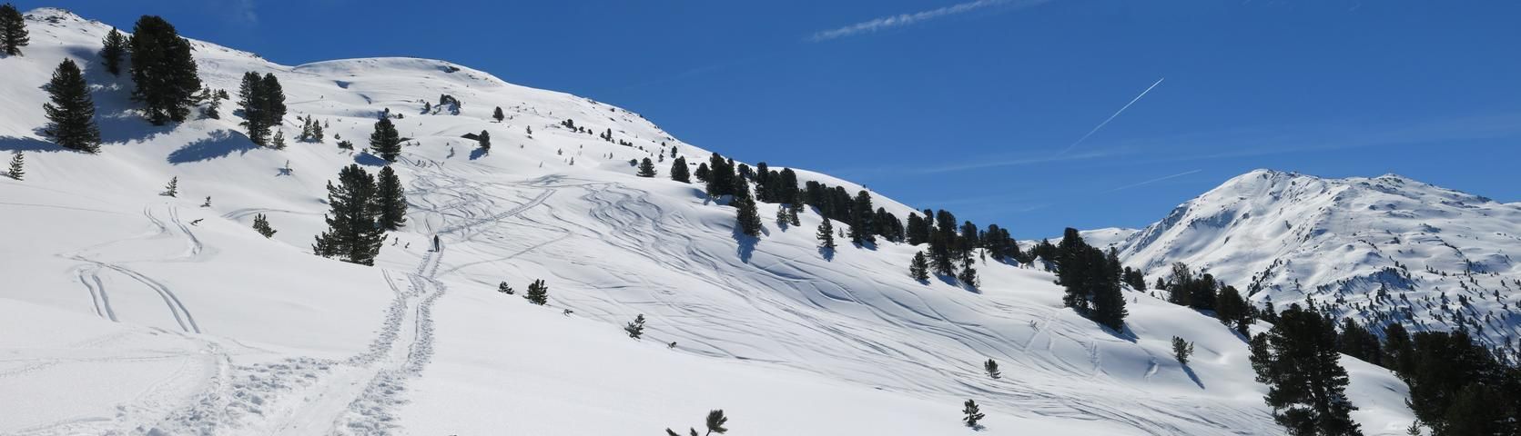
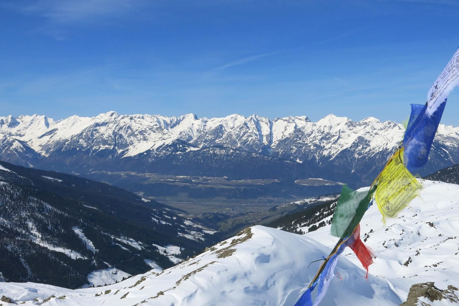
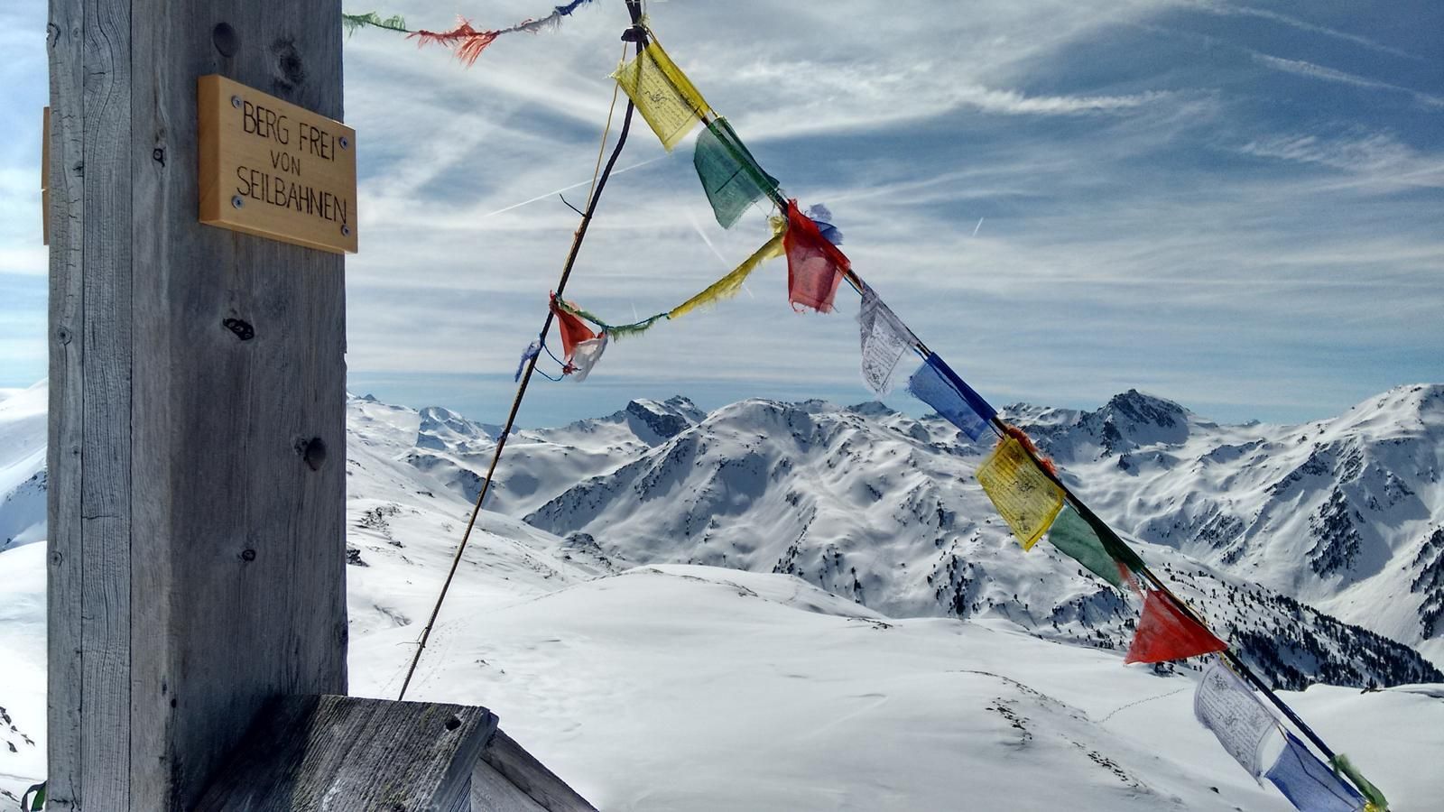
From the alpine pasture buildings one climbs a little steeper to the east to the upper end of the meadows and through the light forest, once crossing a path, until one orients to the right at about 1950m. Now, you climb a little flatter diagonally through the forest further in direction south-southeast until you reach the alpine pasture buildings of the Fiderissalm-Hochleger. Passing it on the left, there is now a beautifully cropped and spacious area as far as the eye can see. Continue southeast and left past the hill with the three eye-catching stone towers onto a ridge and there further towards the summit target in front of you. To the right below the Hohe Kopf the little valley leads up to the saddle and here a few unproblematic steps northwards up the ridge until the summit cross is reached.
There are several routes leading up to the Hoher Kopf, of which the ascent route described here is the simplest and most favourable in terms of avalanche safety. The ascent from the Weidener Hütte is much steeper and, like the eastern route from the Nurpenstal, is also more prone to avalanches.
Descent & Variants
The open terrain also offers plenty of room for play and downhill fun along the ascent route. From the Fiderissalm you can ride westwards on the free slopes directly down to the toboggan run. Here you have to unbuckle once and walk a short flat section, then cruise down the track and after the only bend turn right down to the bridge over the Nurpensbach and walk back to the parking lot.
From the Hohe Kopf you can also descend steeper westwards after the little valley beneath the summit to the Weidener Hütte. If conditions permit, a hut access with summit.
Or cross the ridge either northwards to Roßlaufspitze or southwards via Nafingköpfl to Halslspitze.
Maps
Alpenvereinskarte 33 Tuxer Alpen, 1:50.000
Photo Gallery
A selection of 4 photos from the tour:
Map and Avalanche Risk
[ASTRO_MAP_INFO_EN]
Image Gallery (4 Photos)
Show all 1 more photos
Slope Map
Tour Planning & Important Notes (OpenSlopeMap)
Tour Planning
You can plan and create your own tour directly in the map. The tour can then be downloaded as a GPX track.
Disclaimer
Every user of the map agrees to use the maps provided on OpenSlopeMap.org at their own responsibility and risk. OpenSlopeMap.org and its operators accept no responsibility for damages.
Map Explanation
- Slope inclinations are a very important criterion in avalanche risk management. However, slope inclination alone should never be the sole criterion!
- The resolution for Austria and South Tyrol is based on a digital terrain model (DTM) with 10m resolution. Outside these areas, accuracy is significantly lower.
- A map can only ever provide a limited view of real conditions.
Frequently Asked Questions
How difficult is this splitboard route?
The route is classified with difficulty level 2.
How many vertical meters does the tour include?
The ascent covers approximately 1100 vertical meters.
How long does the ascent take?
The tour takes around 3 hours.
Where does the route start?
The starting point of the tour is Weerberg.