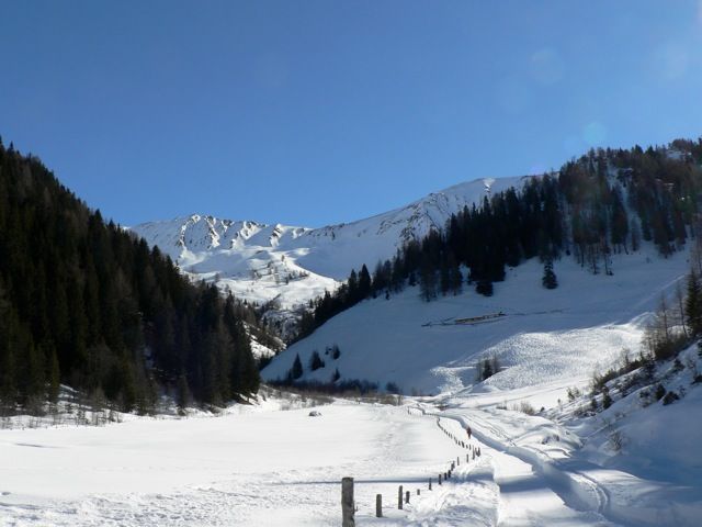
Hohe Warte (Silbersattel)
Route Character
Beautiful, splitboard / ski tour, with some good, clearly visible descent-options, the avalanche danger should not be underestimated. The tour is rated with ZS, as there are some slopes steeper than 35 °. On the average, however, the route is not that difficult. But take care if you do not know the area.
Starting Point & Village
Starting point: Navis, Kirchenwirt Village: Navis
Ascent & Route
At the start, as always, the splitboard / ski touring skis are ready for hike. We follow the forest road which begins next to inn Kirchenwirt and walk into the Weihrichtal. The path can be shortened several times steeply through the forest (but you don`t have to). Again and again there are signs showing the way to Weihrichalm or Blasigleralm. Below the Weihrichalm we take the path through a short wooded section to the Blasigleralm. When we reach the alpine pasture, we cross the brook and climb up relatively steeply to the Blasigleralm. After the building we hike on steeply through open forest till our splitboards / skitouring ski will get the next forest road under their skins. At a bend (you will recognize), we leave the forest and hike up on the wide slope until shortly before the Stoffenalm. Now we head south into a high-valley (Hochtal). We keep walking to the right to hold a safe distance from the steep slopes below the Hohe Warte (Silver Saddle). At the end of the valley we go on, making some sharp turns to the "Silbersattel" (as it is called by the locals) between Hoher Warte and Scheibenspitze.
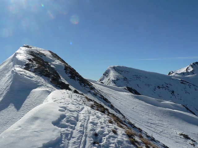
Now we can choose the summit, depending to the snow-conditions and what we like to ride. On the left is the Hohe Warte. Enjoy the the beautiful view at the surrounding mountains: Olperer, Kaserer, Fußstein ... . Now we mount our splitboard / backcountry equipment , choose a safe line and enjoy the ride.
Descent & Variants
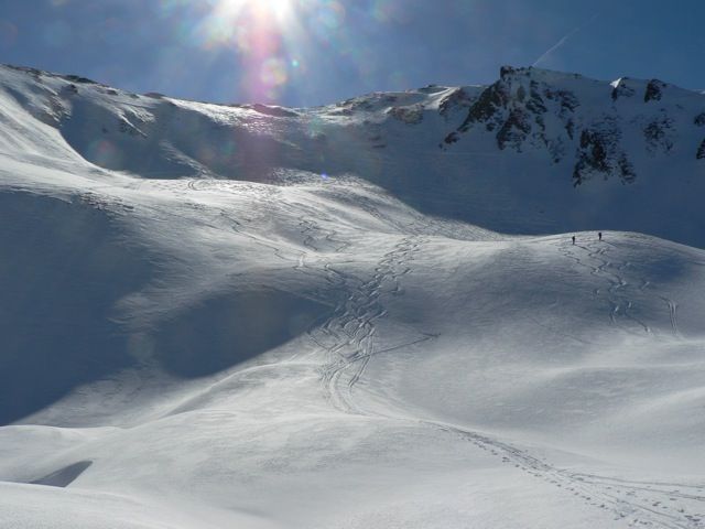
As ascent, but you can find nice splitboard-rides near the ascent track. The country is quite clear.
Refreshments & Huts
Inside the Kirchenwirt of Navis you can meet local backcountry friends. But it is not so easy to get into a fruitful conversation.
Maps
Kompass Karte: Innsbruck, Brenner: Wandern / Rad / Skitouren. 1:50.000
Alpenvereinskarte 31/5 Innsbruck und Umgebung 1 : 50 000 Skirouten
Photo Gallery
A selection of 3 photos from the tour:
Map and Avalanche Risk
[ASTRO_MAP_INFO_EN]
Image Gallery (3 Photos)
Slope Map
Tour Planning & Important Notes (OpenSlopeMap)
Tour Planning
You can plan and create your own tour directly in the map. The tour can then be downloaded as a GPX track.
Disclaimer
Every user of the map agrees to use the maps provided on OpenSlopeMap.org at their own responsibility and risk. OpenSlopeMap.org and its operators accept no responsibility for damages.
Map Explanation
- Slope inclinations are a very important criterion in avalanche risk management. However, slope inclination alone should never be the sole criterion!
- The resolution for Austria and South Tyrol is based on a digital terrain model (DTM) with 10m resolution. Outside these areas, accuracy is significantly lower.
- A map can only ever provide a limited view of real conditions.
Frequently Asked Questions
How difficult is this splitboard route?
The route is classified with difficulty level 4.
How many vertical meters does the tour include?
The ascent covers approximately 1062 vertical meters.
How long does the ascent take?
The tour takes around 3 hours.
Where does the route start?
The starting point of the tour is Navis.