Hohe Kreuzspitze
Route Character
Classic route in Ratschingstal, requires very safe avalanche conditions and tour experience. Beautiful hilly grounds in the high valley and racy channels down from Butsee. In the lower part same route with the easier Kleine Kreuzspitze (alternative destination).
Starting Point & Village
Starting point: Parking at the chapel in the small village of Flading (parking is free, volutary donation for snow removal). Village: Ratschings
Ascent & Route
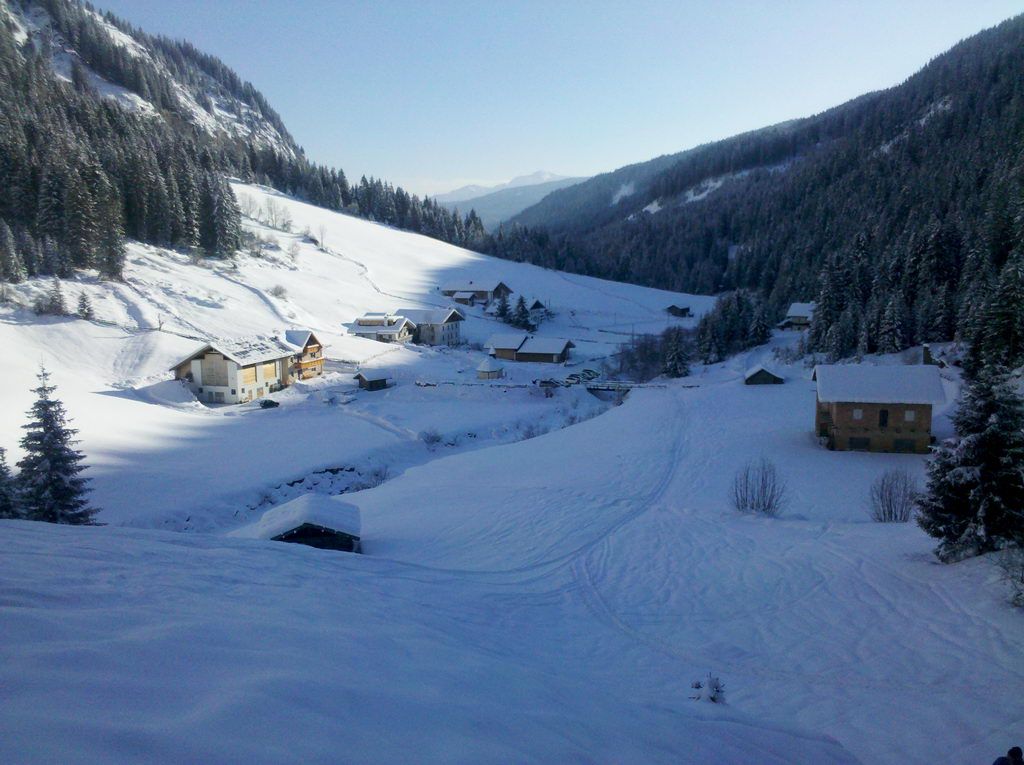
At the chapel at the parking lot, we cross over the small bridge and hike to the right, parallel to the forest road, up into the woods until we get back to the forest road. Now, a short distance along the road and then turn left, now on the trail, through increasingly lighter forest up to treeline.
Here we go flat in the basin and continue to the right (northwest), now becoming much steeper, leading up to the terrace of Klammalm (1925m). After the pasture we turn left into the valley and shortly after we see on the right hand side a small dam.
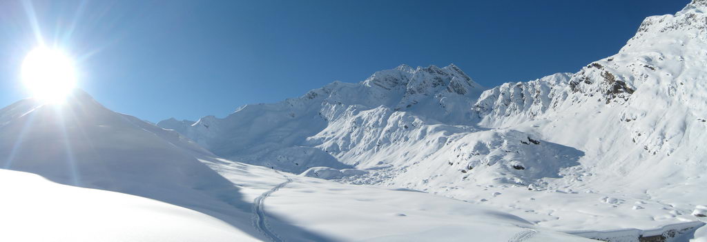
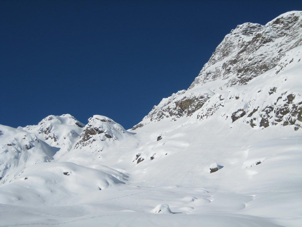
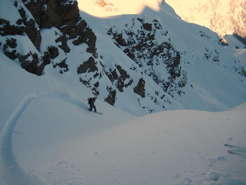
Straight ahead is the ascent track further to Kleine Kreuzspitze (Fig. 1), but we will cross right over the dam and climb further southwest climb over a ledge until we see in the west the steep eastern slope to Butsee (Figure 2). At this key point, we check again carefully the avalanche situation (mainly from the southern flank), with a go we climb the steep slope in a few hairpins, in a no-go, we turn around and try our luck at the Kleine Kreuzspitze.
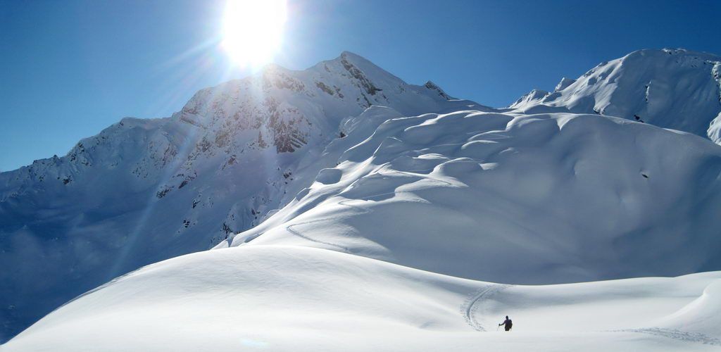
From Butsee (wayside shrine) it is now relaxing with short steep sections over beautifully hilly terrain (Fig. 3), and finally the valley leads more steeply up the north-west slope onto teh col. From here we see the summit and passing the shallow pit on the right , we quickly up the brad ridge we finally reach the summit.
Unfortunately, the camera capitulated at the magnificent panorama from the summit, but a little surprise should be kept.
Descent & Variants
Along the ascent track.
From Butsee you can take the last channel to avoaid the “avalanche endangered” easter slope from ascent. Of course the avalanche situation has to fit 100% here, too.
While crossing back over the dam, snowboarders have to walk a short part, but that’s all.
Maps
Alpenvereinskarte 31/3 Brennerberge 1 : 50 000 Skimarkierungen: Östliche Stubaier. und westliche Zillertaler Alpen
Kompass Karte:Sterzing/Vipiteno: Wanderkarte mit Aktiv Guide, Radrouten und Skitouren. GPS-genau
Tabacco Blatt Nr. 038 (Sterzing – Stubaier Alpen) bzw. Nr. 039 (Passeiertal)
Photo Gallery
A selection of 6 photos from the tour:
Map and Avalanche Risk
[ASTRO_MAP_INFO_EN]
Image Gallery (6 Photos)
Show all 3 more photos
Slope Map
Tour Planning & Important Notes (OpenSlopeMap)
Tour Planning
You can plan and create your own tour directly in the map. The tour can then be downloaded as a GPX track.
Disclaimer
Every user of the map agrees to use the maps provided on OpenSlopeMap.org at their own responsibility and risk. OpenSlopeMap.org and its operators accept no responsibility for damages.
Map Explanation
- Slope inclinations are a very important criterion in avalanche risk management. However, slope inclination alone should never be the sole criterion!
- The resolution for Austria and South Tyrol is based on a digital terrain model (DTM) with 10m resolution. Outside these areas, accuracy is significantly lower.
- A map can only ever provide a limited view of real conditions.
Frequently Asked Questions
How difficult is this splitboard route?
The route is classified with difficulty level 4.
How many vertical meters does the tour include?
The ascent covers approximately 1300 vertical meters.
How long does the ascent take?
The tour takes around 3.5 hours.
Where does the route start?
The starting point of the tour is Ratschings.