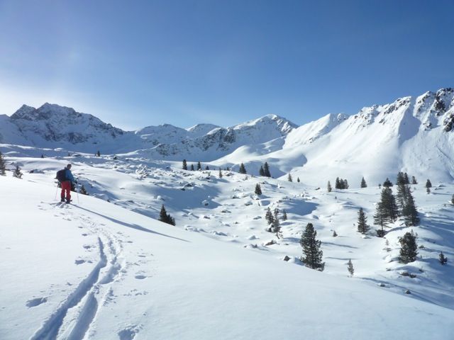
Hintere Karlesspitze
Route Character
Beautiful classic ascent, If the Vordere Karlesspitze is to steep regarding the conditions and the Wetterkreuz is to boring, than you are right at the Hintere Karlesspitze.
Starting Point & Village
Starting point: We park at the small parking lot or in the bay just beside the road. Village: Kühtai
Ascent & Route
From the parking area south-east we walk into the the steep forest, getting up the often bumpy descent path. In poor snow conditions, we already mount our crampons on the splitboards / ski touring ski at the parking lot. We walk up and then the forest thins out. We reach the small plateau of the Obere Issalm, easy to recognize also because of the frozen mill, which we will pass in the next 20 minutes. Caused by the snow conditions, we decide whether hiking up at the left or the right side of the Wörgetal.
left (direct): We walk slowly in respectful distance to the western faces of Schafzoll, Vordere- und Hintere Karlesspitze to the Untere- und Obere Böden. Here we cross the variant right track.
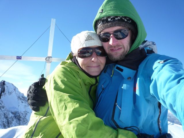
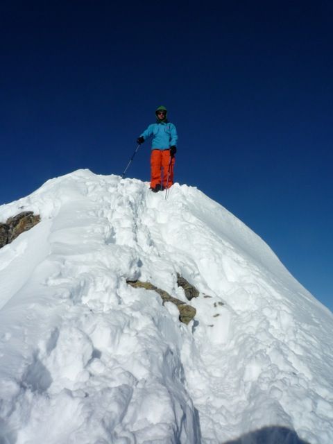
right: In the clearing, we first follow the summer trail and soon cross the creek. Than we hike up the escarpment to the right of a broad, quite steep northeast slope. Than plane further southeast in the Obere Böden. Now the uphill tracks will seperate, we turn left, south-east and walk up to the Knappen Rücken. Near the short but steep ridge, we deposit our splitboards or skitouring skis and make the last 20 meters by feet, reaching the top of Hintere Karlesspitze at 2641m.
Descent & Variants
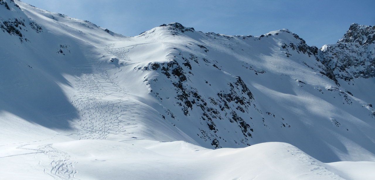
As ascent through magnificent splitboard, backcountry area, there are steeper and planer runs we can choose. Of course we have the danger of avalanches in our minds and adjust to the situation.
Refreshments & Huts
Always tasty food at Dortmunder Hütte
Maps
Alpenvereinskarte 31/2 Stubaier Alpen Sellrain 1 : 25 000
Kompass Karte: Imst, Telfs, Kühtai, Mieminger Kette: Wander-, Rad- und Skitourenkarte. 1:50.000
Photo Gallery
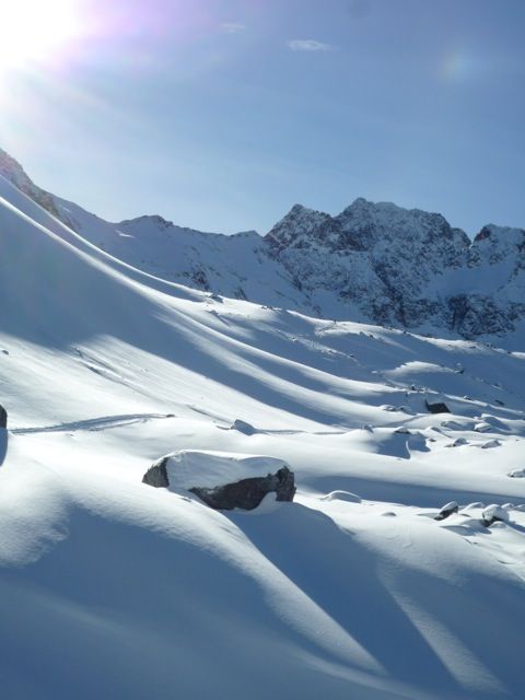
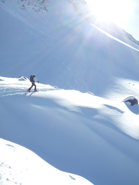
A selection of 6 photos from the tour:
Map and Avalanche Risk
[ASTRO_MAP_INFO_EN]
Image Gallery (6 Photos)
Show all 3 more photos
Slope Map
Tour Planning & Important Notes (OpenSlopeMap)
Tour Planning
You can plan and create your own tour directly in the map. The tour can then be downloaded as a GPX track.
Disclaimer
Every user of the map agrees to use the maps provided on OpenSlopeMap.org at their own responsibility and risk. OpenSlopeMap.org and its operators accept no responsibility for damages.
Map Explanation
- Slope inclinations are a very important criterion in avalanche risk management. However, slope inclination alone should never be the sole criterion!
- The resolution for Austria and South Tyrol is based on a digital terrain model (DTM) with 10m resolution. Outside these areas, accuracy is significantly lower.
- A map can only ever provide a limited view of real conditions.
Frequently Asked Questions
How difficult is this splitboard route?
The route is classified with difficulty level 3.
How many vertical meters does the tour include?
The ascent covers approximately 900 vertical meters.
How long does the ascent take?
The tour takes around 2.75 hours.
Where does the route start?
The starting point of the tour is Kühtai.