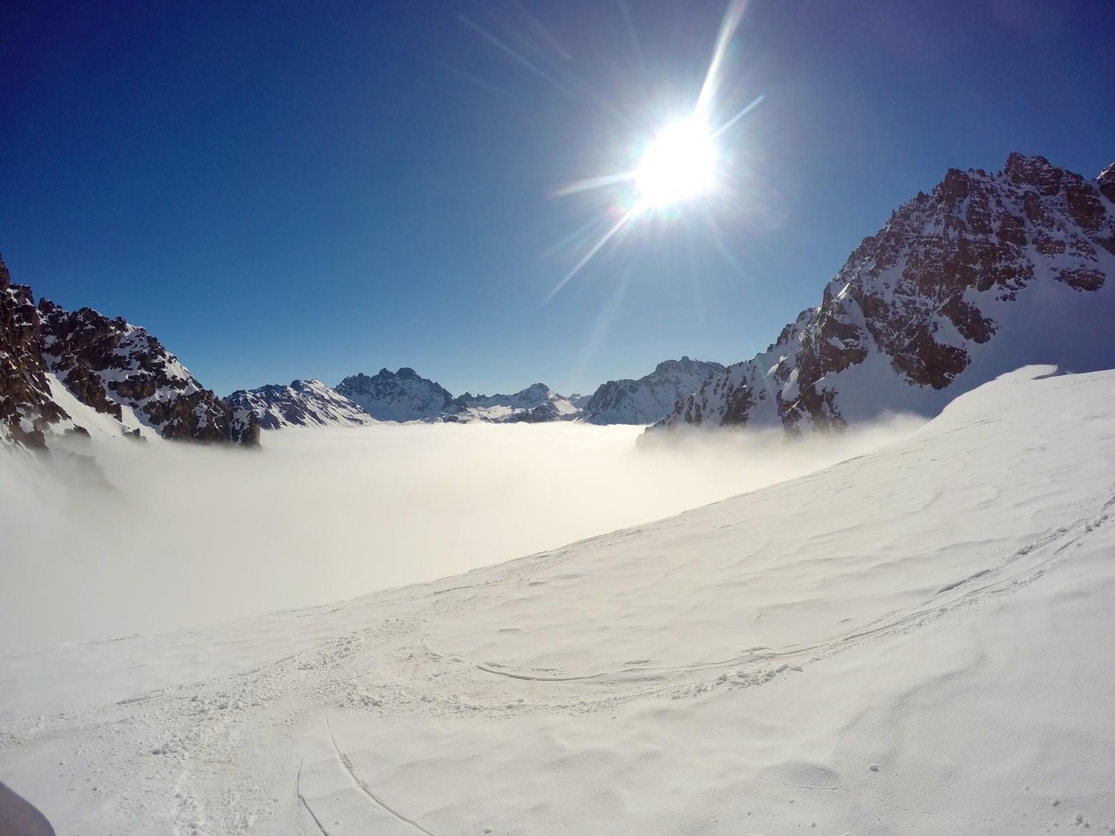
Haagspitze and Ochsenkopf
Route Character
Long high alpine tour, which can be shortened from the Jamtalhütte. It is also possible to make the transition to Wiesbadener Hütte.
Starting Point & Village
Starting point: Touring car park in the Jamtal. It is not advisable to continue driving even when the barrier is open, as the police can check and the barrier can be closed quickly. Village: Galtür
Ascent & Route
Follow the Jamtal to the Jamtalhütte (2-2:30h). The hut route runs uphill on a prepared path to the left of the river. If you don”t want to head for the hut, you can stay in the valley bed and follow it.
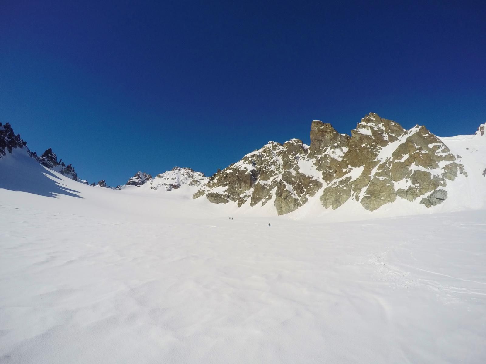
From the lodge now a little further on (shorter! descent into the valley floor) and climb up to a ridge at an altitude of about 2.200m to reach the wide glacier plateau of the Totenfeld. Directly below the top of the Haagspitze it now goes up a steep slope. On top ski depot and in short climb to the summit.
From the depot it goes now quite steeply down to the Bieltalferner to 2700m. Unfortunately, there now follows a slightly hilly terrain with short, flat counter-rise. If necessary, you can also traverse further up on the left, but the terrain becomes very steep there. I recommend to use skins and ride the short descents with skins. That should be the quickest overall.
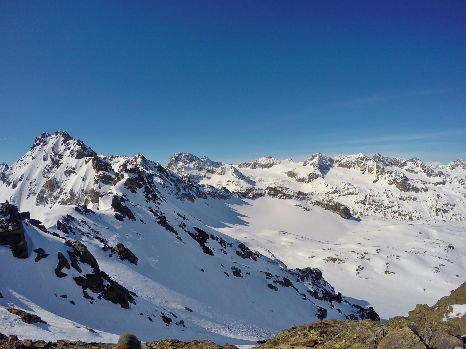
Cross above the Wiesbadener Hütte to the Tyrolean glacier and ascend it to the Tiroler Scharte. There again ski depot and by foot to the top of the Ochsenkopf. The climb is considerably more demanding than the first and can require crampons in icy conditions. I would have liked to have them.
Descent & Variants
From the Tiroler Scharte down the Jamtal valley over wide glacier areas. Shortly before the Jamtalhütte the area unfortunately becomes quite flat. Fortunately, thanks to the prepared path, you can make good progress from the hut. The snow on the east side of the creek is even more persistent further down in the valley. With a bit of luck you can get back to the car without walking.
Photo Gallery
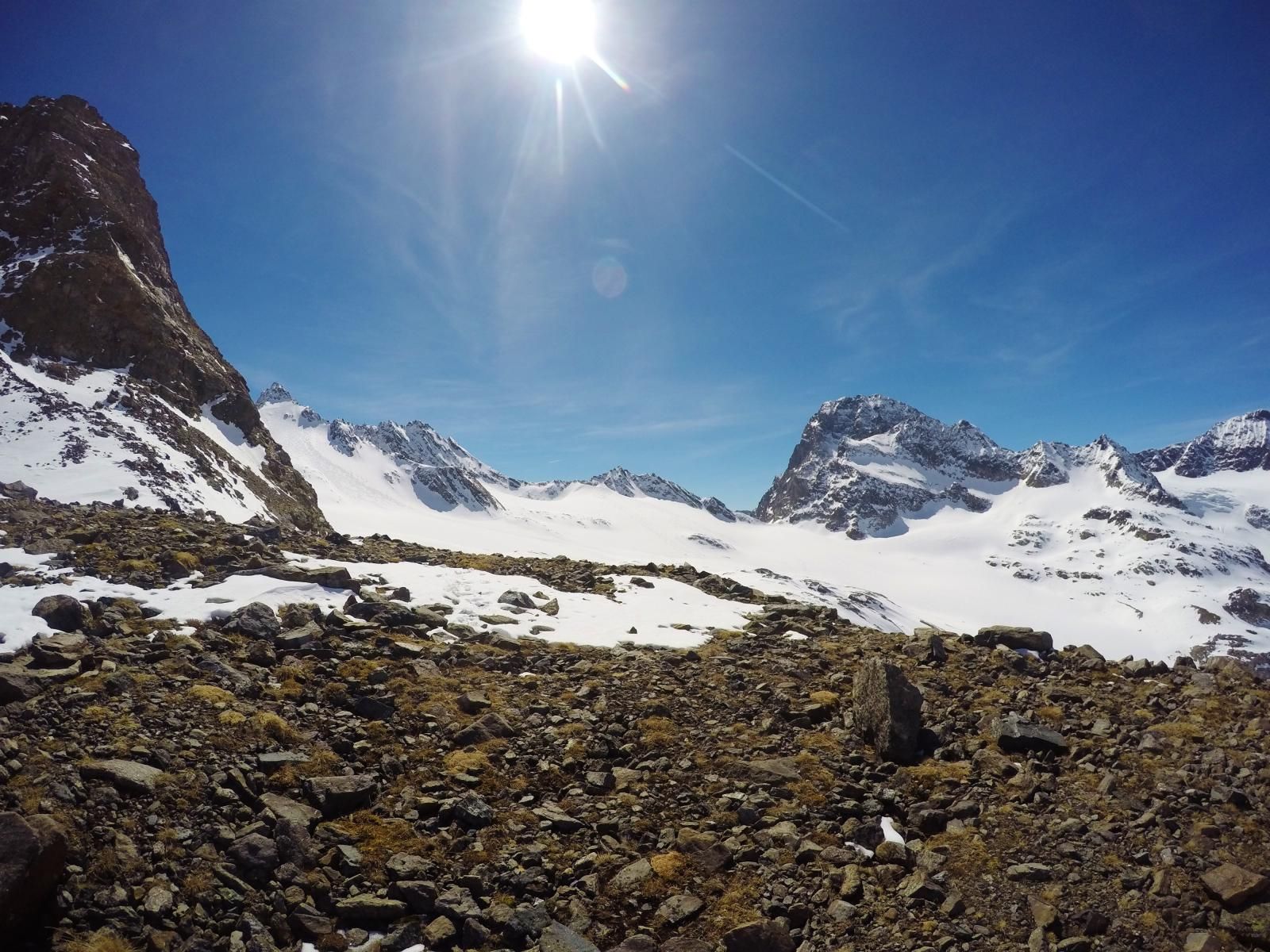
A selection of 6 photos from the tour:
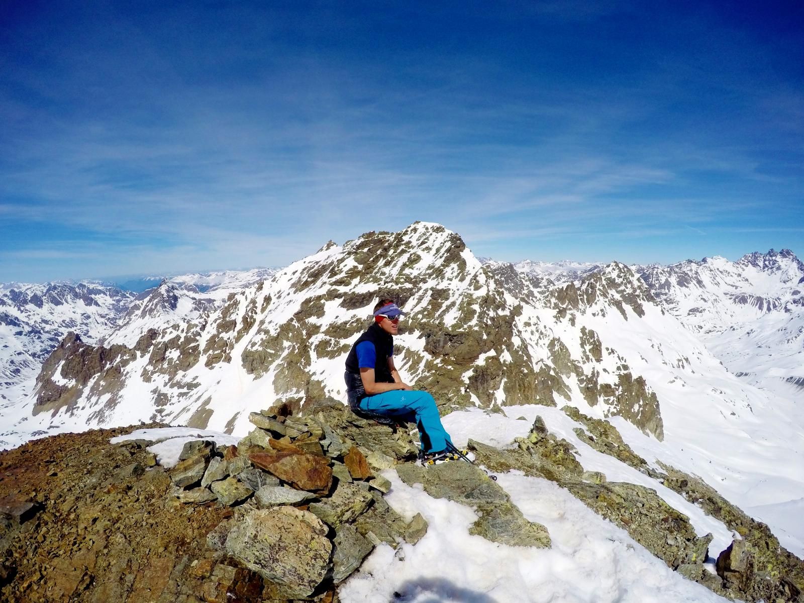
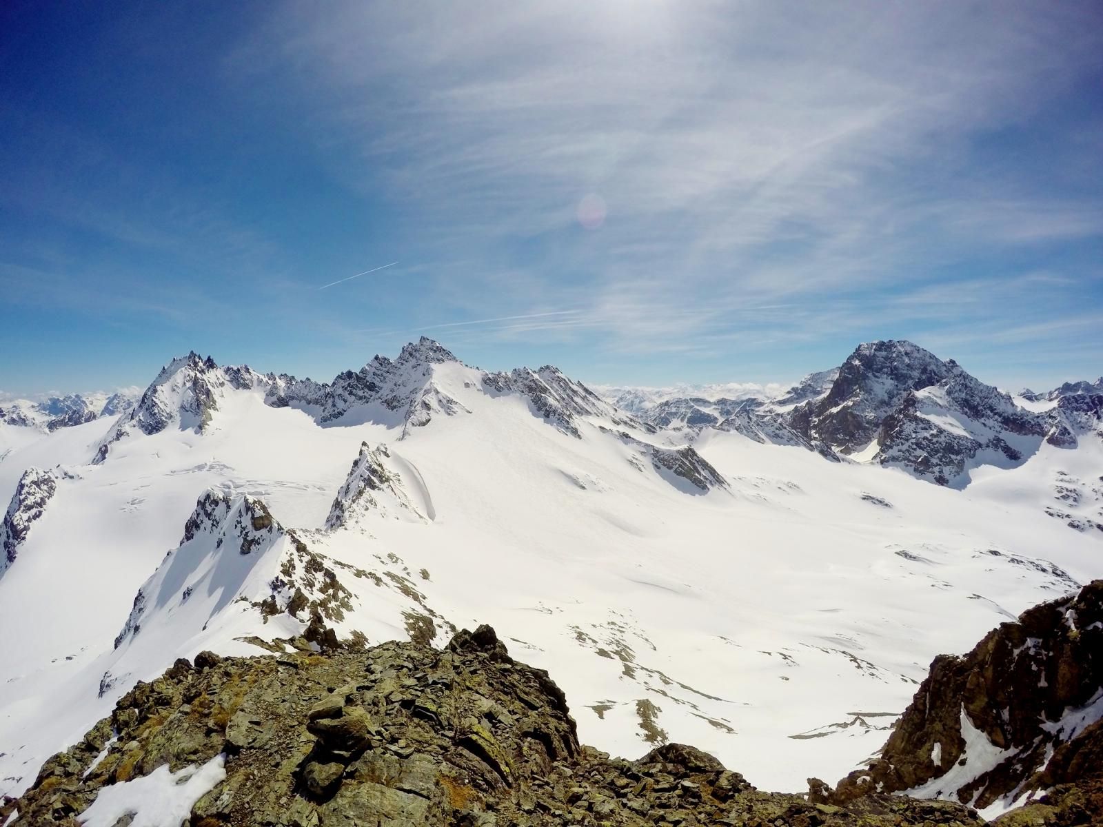
Map and Avalanche Risk
[ASTRO_MAP_INFO_EN]
Image Gallery (6 Photos)
Show all 3 more photos
Slope Map
Tour Planning & Important Notes (OpenSlopeMap)
Tour Planning
You can plan and create your own tour directly in the map. The tour can then be downloaded as a GPX track.
Disclaimer
Every user of the map agrees to use the maps provided on OpenSlopeMap.org at their own responsibility and risk. OpenSlopeMap.org and its operators accept no responsibility for damages.
Map Explanation
- Slope inclinations are a very important criterion in avalanche risk management. However, slope inclination alone should never be the sole criterion!
- The resolution for Austria and South Tyrol is based on a digital terrain model (DTM) with 10m resolution. Outside these areas, accuracy is significantly lower.
- A map can only ever provide a limited view of real conditions.
Frequently Asked Questions
How difficult is this splitboard route?
The route is classified with difficulty level 4.
How many vertical meters does the tour include?
The ascent covers approximately 1880 vertical meters.
How long does the ascent take?
The tour takes around 8 hours.
Where does the route start?
The starting point of the tour is Galtür.