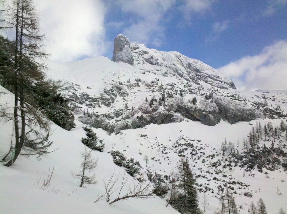
Grosses Tragl Tauplitz
Route Character
Beautiful loop in demanding terrain!
Starting Point & Village
Starting point: Tauplitzalm in the Tauplitz ski area Village: Tauplitz
Ascent & Route
First you have to descend (whether in the board or ski mode it’s a matter of taste) about 200 meters of altitude to the East.
Here the main ascent to the Tragl starts.
It always leads underneath impressive rock walls. We were very glad that the snow cover wasn’t too hard and had a nice grip - otherwise some parts would have been tricky without crampons.
The tour is mostly very nice prepared - in the middle part there are a lot of deep dolines - here you should follow the markings.
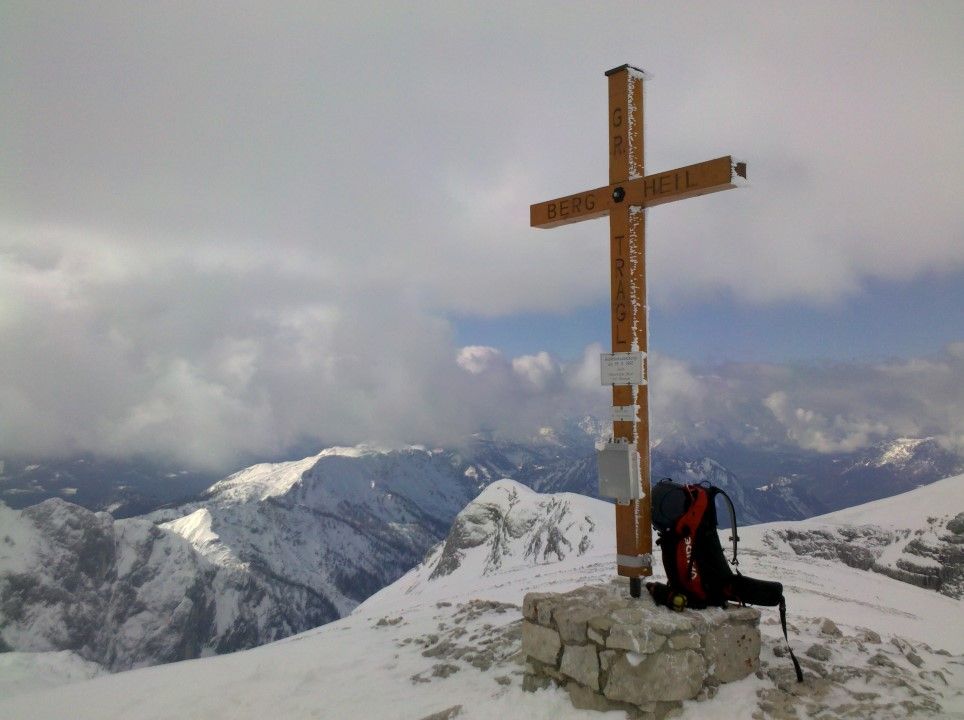
After the doline section you come to the back of the mountain and climb up over this ridge the remaining meters up to the summit. Here you have about 750 meters of altitude behind you.
Descent & Variants
Since the ascent route is not really worthwhile for the descent, we decide - as well as most of the skiers who are with us at the summit - for the variant through the ghost forest! So head northwest west - southwest. Here are some not very board friendly traverses to ride - for goofy riders like me it’s even harder to ride on the backside edge. And - what wasn’t mentioned in the tour reports - a steep 50m climb uphill - WTF!
But then - after a further traverse the passage into a beautiful wide powder field - some skiers have already created nice lines here - but enough POW for everyone.
After that, the ghost forest - a 4km long “mixed forest and meadow area” - begins. As a child, the mogul piste would have been a lot of fun - and even today I think it’s really great - if the previous hikes weren’t in the legs.
Anyway - there are skiers behind and in front of us - let it rock as best we can.
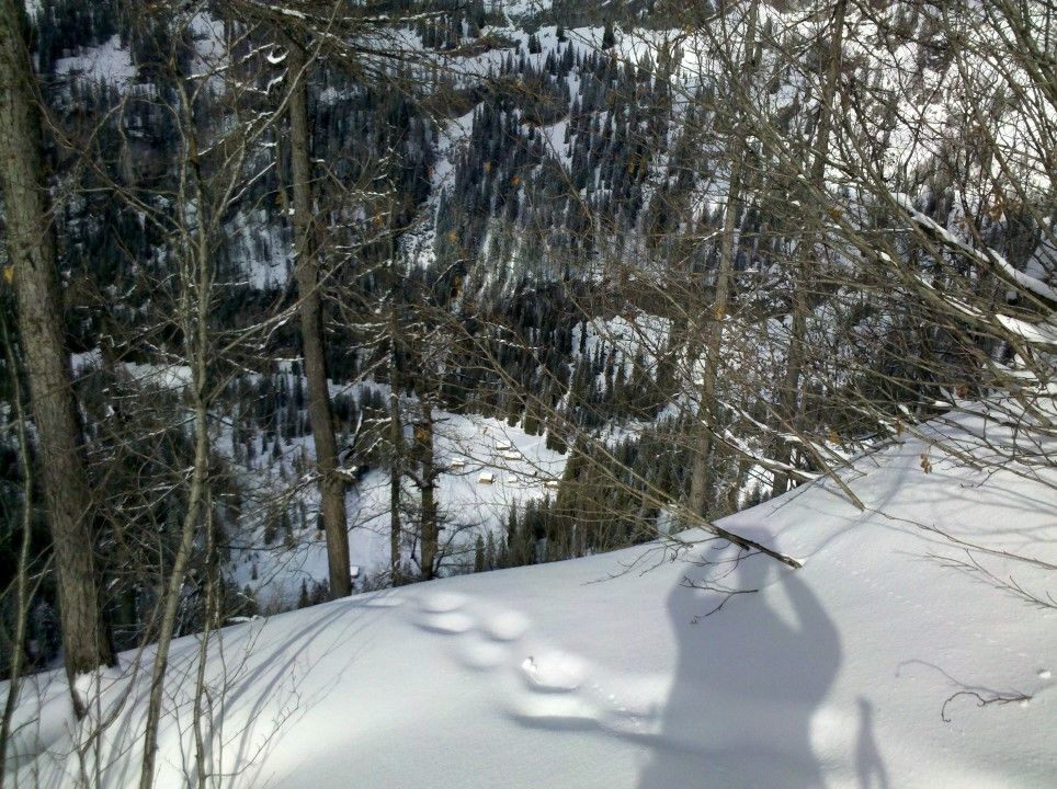
At the end of the tour you reach an idyllic valley with no huts - in the sunshine like today it’s nice and warm. And now comes the downside of the tour - 400-500 meters uphill again. STEEP!
Beautiful scenery!
Photo Gallery
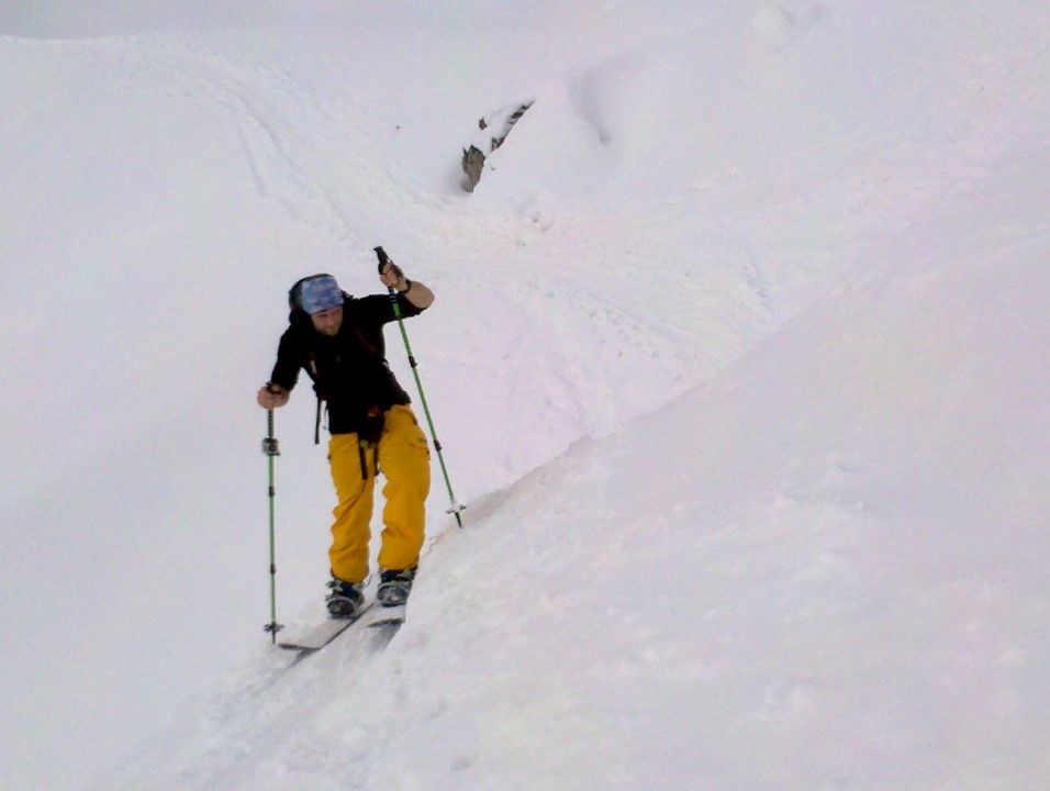
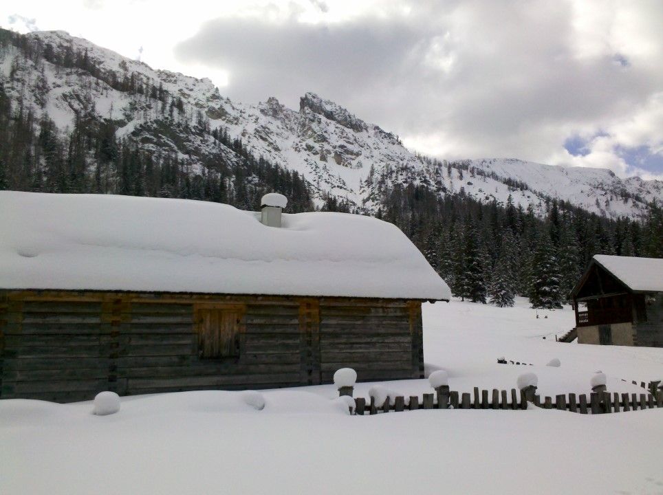
A selection of 6 photos from the tour:
Map and Avalanche Risk
[ASTRO_MAP_INFO_EN]
Image Gallery (6 Photos)
Show all 3 more photos
Slope Map
Tour Planning & Important Notes (OpenSlopeMap)
Tour Planning
You can plan and create your own tour directly in the map. The tour can then be downloaded as a GPX track.
Disclaimer
Every user of the map agrees to use the maps provided on OpenSlopeMap.org at their own responsibility and risk. OpenSlopeMap.org and its operators accept no responsibility for damages.
Map Explanation
- Slope inclinations are a very important criterion in avalanche risk management. However, slope inclination alone should never be the sole criterion!
- The resolution for Austria and South Tyrol is based on a digital terrain model (DTM) with 10m resolution. Outside these areas, accuracy is significantly lower.
- A map can only ever provide a limited view of real conditions.
Frequently Asked Questions
How difficult is this splitboard route?
The route is classified with difficulty level 4.
How many vertical meters does the tour include?
The ascent covers approximately 1200 vertical meters.
How long does the ascent take?
The tour takes around 5 hours.
Where does the route start?
The starting point of the tour is Tauplitz.