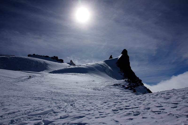
Gran Paradiso
Route Character
A beautiful classic high alpine mountain route up to the highest peak in the Grajisch Alps. Located in the national park of Gran Paradiso, this peak fascinates lots of mountaineers from all around the world in winter as well as in summer. The Gran Paradiso is 4061 meter high and not so difficult to climb, compared to other mountains in this range. But still you need complete glacier equipment, rope and experience.
Starting Point & Village
Starting point: Parking in Pont, 1960m. Village: Valsavarenche
Ascent & Route
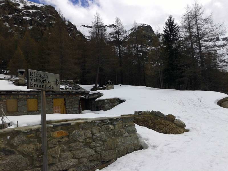
First, you hike direction south along the river into the Vallone di Seiva. Either you cross the river at the beginning and walk on the left (western) side of the river or you go along the easter side up to the sign Rifugio Vittorio Emanuele, both is possible. The Rifugio is a great base to climb the Gran Paradiso in two days.
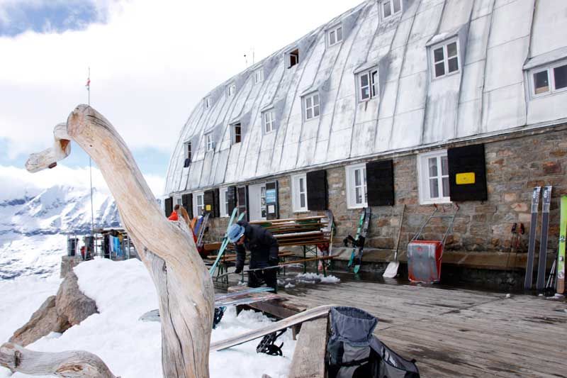
At the sign you head on for a few minutes and then you go to the East, following the summer trail into the forest. After around 100 altimeters you leave the forest and go on, quite steeply through hilly terrain, till you reach the hut Rifugio Vittorio Emanuele. Here you can get some food before entering the high alpine area of Gran Paradiso and head on with lots of people up to the peak.
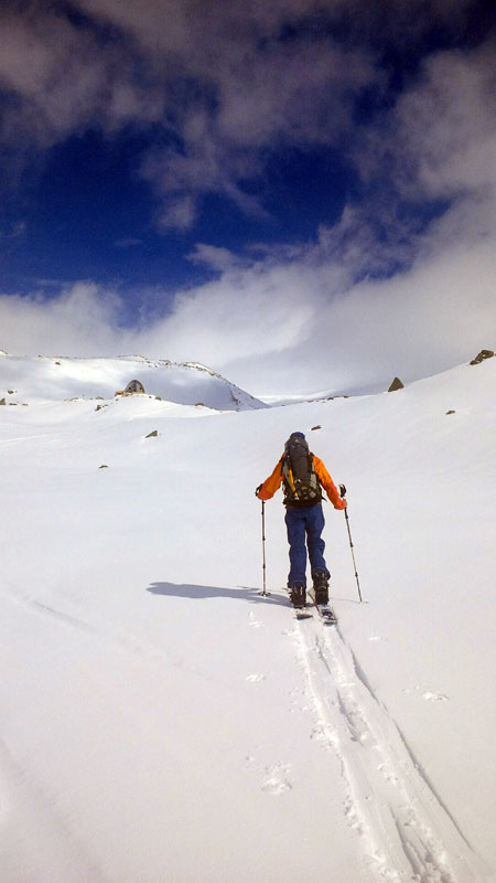
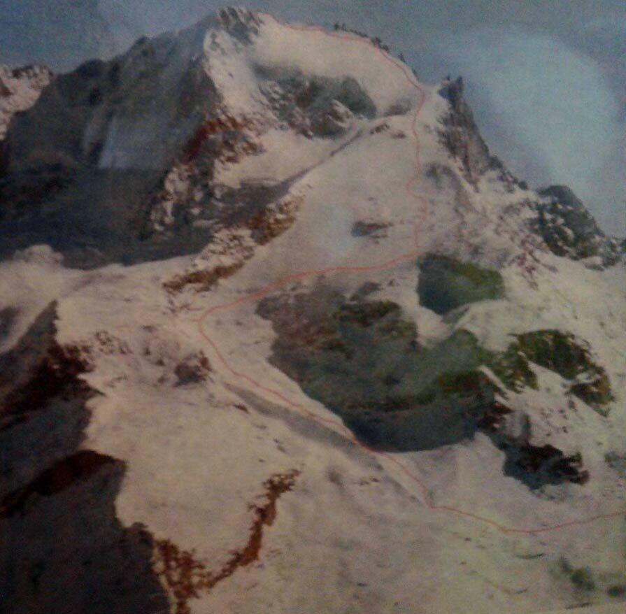
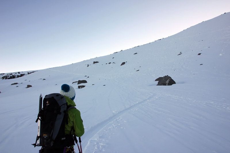
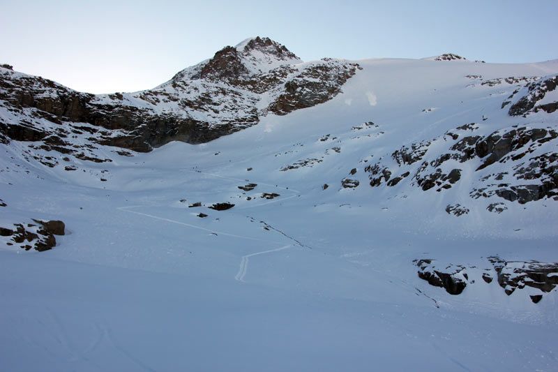
If you are lucky and there are no tracks, you just pass the hut and afterwards you go to the left, direction North, until you reach the morain. From here you go on in long snake-like curves up to the Gran Paradiso Glacier and to the peak.
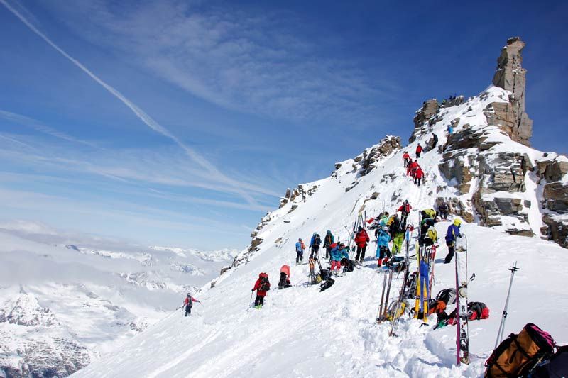
You will see the prominent Schiena d´Asino, where the uphill tracks from Rifugio Chabod meet the ones of Vittorio Emanuele, it is on a height of around 3500 meters. Having a beautiful view to the ice boom (if the weather is fine) you go on direction South-East up to the “Back of the Donkey” where usually are lots of crevasses and then to the Col d. Becca di Moncorvè. At this point you often have lots of clowds coming in over the saddle and some wind. In a left curve you move on to the steeper section, direction North, and then further up to the main crevasse which is almost every winter closed by lots of snow. Then you reach the Ski- or Splitboard Depot. From here it is just 60 meters further up to reach the summit, but you have to climb a bit (UIAA I-II). After an exposed step you will be just beside the Madonna enjoying the breathtaking views to the big neighbors like Matterhorn, Mont Blanc, Monte Rosa… and there is rising this feeling in your soul…
The time is estimated with 8+ hours when you go slowly and have a lunch break at the peak and another break at the hut.
Recommended:
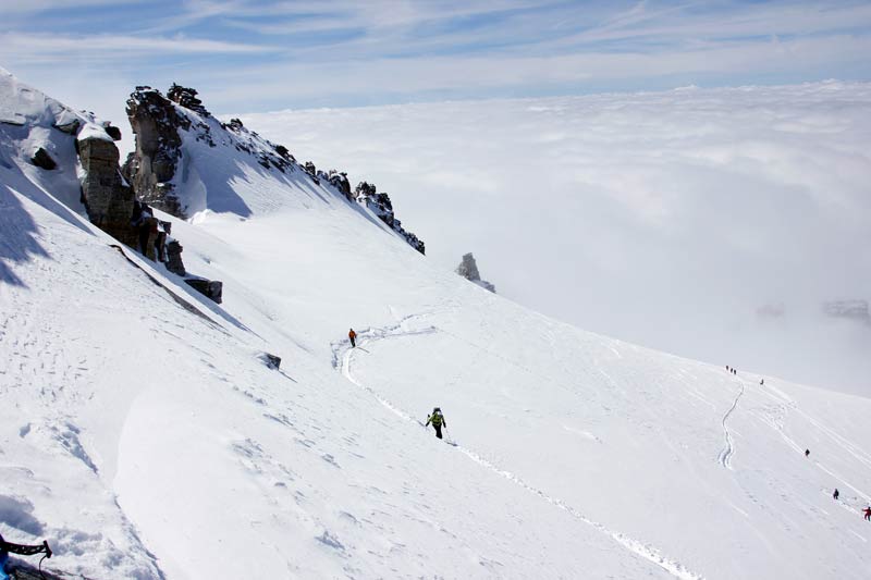
If the conditions are right and your skills accordingly, you can find great untracked ascents aside to watch the caraavan hiking up from a distance. Later you get easyly back to the track to safe strength for the descent.
Descent & Variants
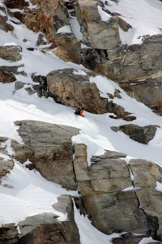
As ascent, if you open your eyes and ears you can find some excellent untracked descent options which make this classic an unforgettable experience.
Please take care even when it looks great, you are moving on high alpine area and you should be aware of the possible dangers. Also you should minimize your risk and choose your line carefully.
Alternative I Check out the way down to Rifugio F. Chabod.
Alternative II, if you hike up 150 altimeters again, you can reach the Col del Grant Etret at 3200 meter and ride down to Pont on this less tracked way. Keep in mind the steep walls of the mountains you are traversing.
Read here our excursion-report from Gran Paradiso
Maps
IGC 101, Gran Paradiso La Grivola Cogne 1:25000
Photo Gallery
A selection of 10 photos from the tour:
Map and Avalanche Risk
[ASTRO_MAP_INFO_EN]
Image Gallery (10 Photos)
Show all 7 more photos
Slope Map
Tour Planning & Important Notes (OpenSlopeMap)
Tour Planning
You can plan and create your own tour directly in the map. The tour can then be downloaded as a GPX track.
Disclaimer
Every user of the map agrees to use the maps provided on OpenSlopeMap.org at their own responsibility and risk. OpenSlopeMap.org and its operators accept no responsibility for damages.
Map Explanation
- Slope inclinations are a very important criterion in avalanche risk management. However, slope inclination alone should never be the sole criterion!
- The resolution for Austria and South Tyrol is based on a digital terrain model (DTM) with 10m resolution. Outside these areas, accuracy is significantly lower.
- A map can only ever provide a limited view of real conditions.
Frequently Asked Questions
How difficult is this splitboard route?
The route is classified with difficulty level 5.
How many vertical meters does the tour include?
The ascent covers approximately 2100 vertical meters.
How long does the ascent take?
The tour takes around 8 hours.
Where does the route start?
The starting point of the tour is Valsavarenche.