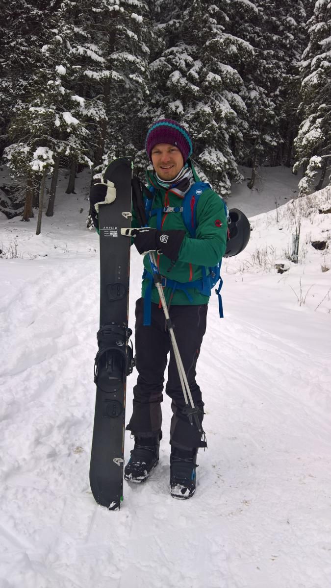
Gogles Alm from Pillerhoehe
Route Character
Early season tour with several variants for ascent and descent via hiking paths, open meadows and a groomed forest road. It is quite wind proof due to the woods and has a great comfy hut as tour target. With enough snow it is also possible to extend the tour to the Venet summit (2512m).
Starting Point & Village
Starting point: Last parking lot on the right hand side just before the pass. Village: Fließ
Ascent & Route
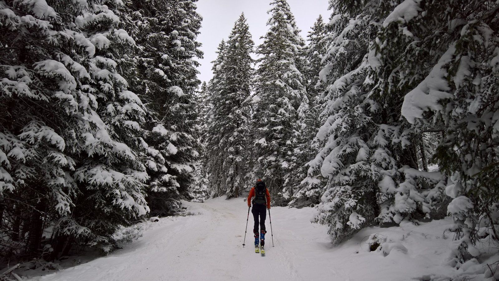
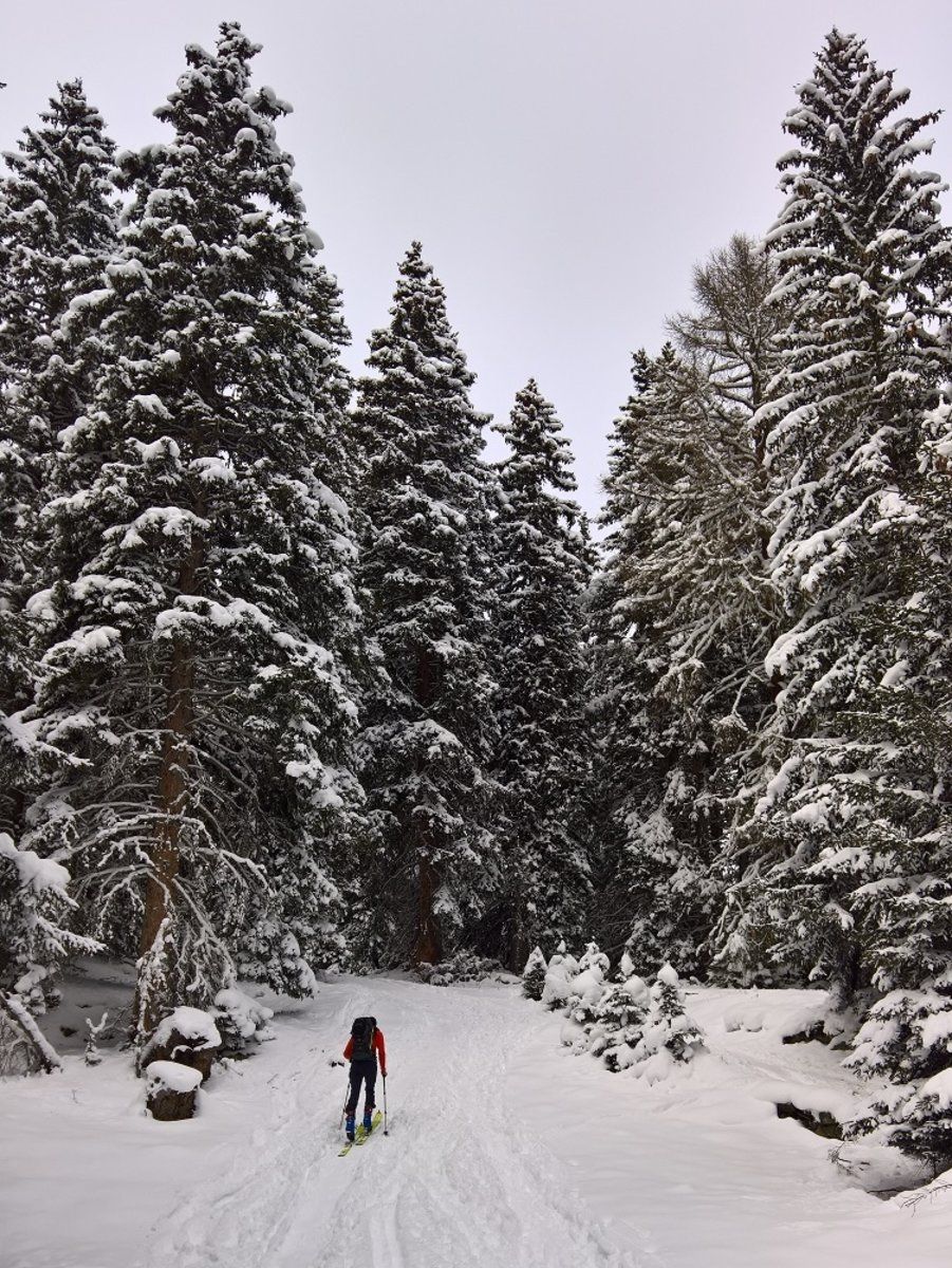
The tour starts at around 1520m mostly leading through the woods which makes it very wind proof and guarantees good visibility. The forest opens in the upper part below the hut.
From the opposite side of the street a path leads to a hiking trail that reaches the forest road later on. The trail is usually already broken and easy to spot due to its popularity. Now follow the forest road or use the crossing hiking trails that eventually lead back to the road every now and then.
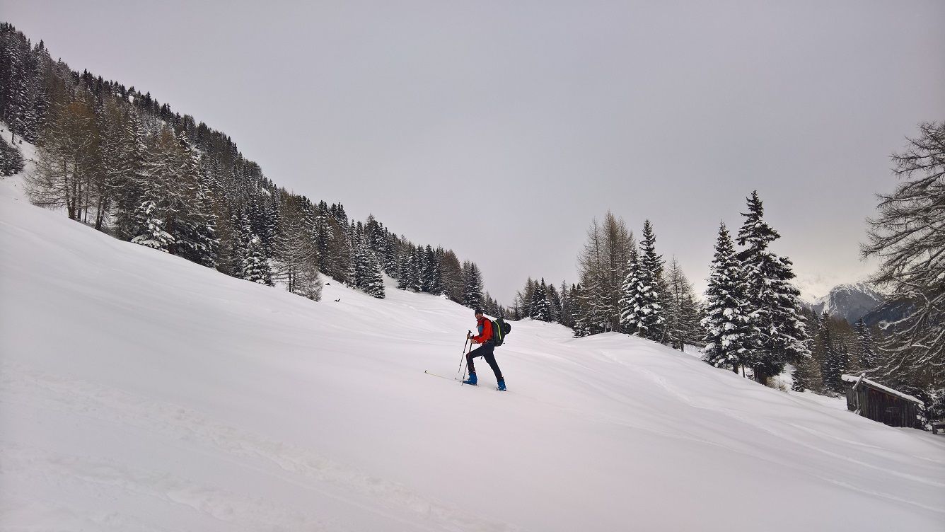
At around 1750m the forest clears to a big meadow on the right from where you can already see the hut. You can now either keep on following the trail or use the clearing to hike up further. Keep left where the woods start again to cross a wooden gate and continue hiking up until you finally reach the trail again shortly below the hut.
No matter if by using the trails, road or open clearings…eventually all we get together again and you will reach the Gogles Alm (www.gogles-alm.at). By the way visiting this hut is already worth the trip just because of the amazing hosts! I absolutely recommend having a drink there and try some original Austrian food as well.
If you want you can also extend the trip from there up the summit of mount Venet (2512m). The run down to the hut from there is supposed to be one of the greatest in the area!
Descent & Variants
Following the ascent route. Open meadows allow alternate route options in the upper section. If the snowpack does not allow freerides you can also just follow the groomed forest road until you reach the main street. From there just follow up the street for about 2 minutes until you reach the parking lot again.
Photo Gallery
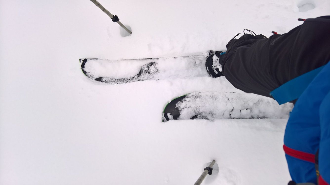
A selection of 5 photos from the tour:
Map and Avalanche Risk
[ASTRO_MAP_INFO_EN]
Image Gallery (5 Photos)
Show all 2 more photos
Slope Map
Tour Planning & Important Notes (OpenSlopeMap)
Tour Planning
You can plan and create your own tour directly in the map. The tour can then be downloaded as a GPX track.
Disclaimer
Every user of the map agrees to use the maps provided on OpenSlopeMap.org at their own responsibility and risk. OpenSlopeMap.org and its operators accept no responsibility for damages.
Map Explanation
- Slope inclinations are a very important criterion in avalanche risk management. However, slope inclination alone should never be the sole criterion!
- The resolution for Austria and South Tyrol is based on a digital terrain model (DTM) with 10m resolution. Outside these areas, accuracy is significantly lower.
- A map can only ever provide a limited view of real conditions.
Frequently Asked Questions
How difficult is this splitboard route?
The route is classified with difficulty level 2.
How many vertical meters does the tour include?
The ascent covers approximately 500 vertical meters.
How long does the ascent take?
The tour takes around 1.75 hours.
Where does the route start?
The starting point of the tour is Fließ.