Gilfert
Route Character
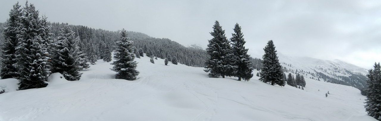
Very popular backcountry route with open spaced, western downhill slopes. Rarely difficult but relatively long. Best with fresh snow or in spring with firn.
Starting Point & Village
Starting point: Parking lot at Innerst (fee if attended). Village: Weerberg
Ascent & Route
From the parking up the open slope to the Northeast to the edge of the wood, then a bit on the forest road and soon to the left up a small road (quasi in opposite direction) to the next open area. Up this meadow and through a small strip of wood to the next clearing. After reaching the upper edge we see a small private hut (Eggerraste) at the forest road. Quite behind the hut the track heads up into the wood (shortening the forest road), crosses the forest road again and then turns, flatter now, to the pastures of Nonsalm.
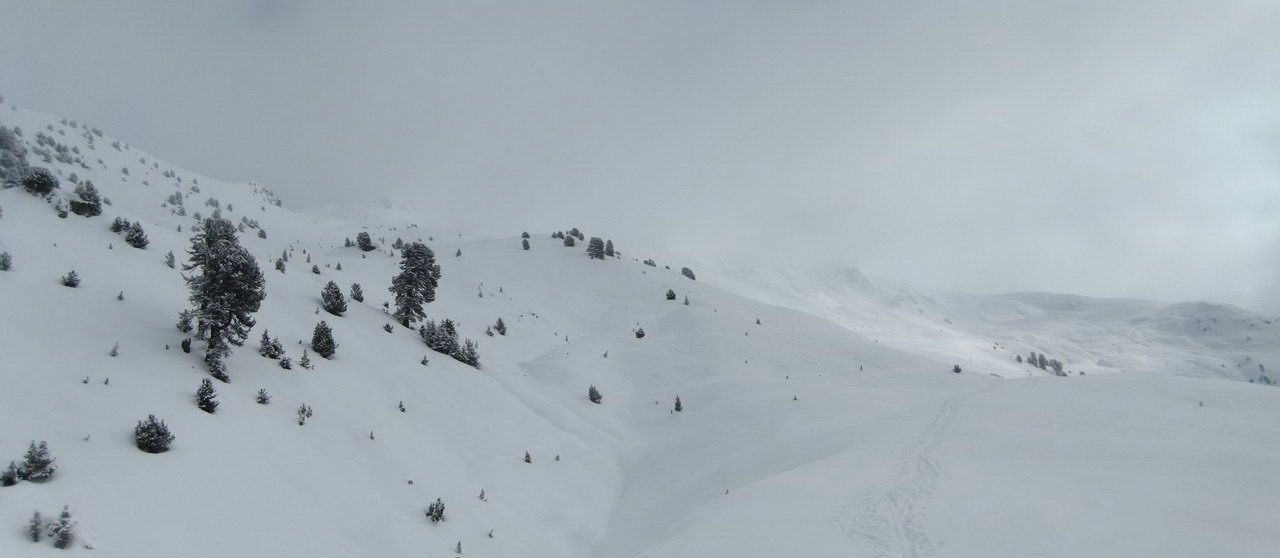
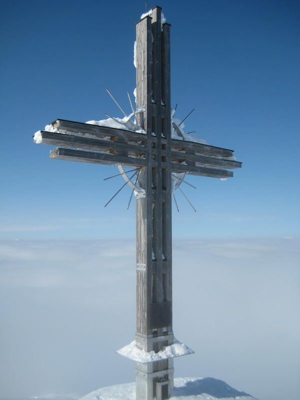
We leave the alp far to the right and hike up the mountain pasture, first a bit through light wood, to the Northeast till we reach nice broken terrain. Here we meet the ascent track from Hausstatt (a boring forest road ascent). Now on through the heavily broken terrain, in changing but mostly moderate incline, to the Northeast towards the already viewable summit. Attention: The summit cross is very tall, so it will still take a while to reach it.
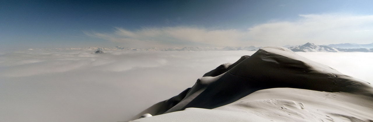
We climb the summit, now a bit steeper, on its southwestern slope.
Ascent option:
If you are lucky to lay the first ascent track and if you are not familar with the shortcuts, then just follow the forest road from Eggerraste to Nonsalp and head, when the summit is viewable, up the meadowas to Northeast. The steep meadow parts can be avoided easily (Avalanche situation, wet snow).
Descent & Variants
Within the area of ascent or to the left (seen in downhill direction) down the wide sunny slopes to Nonsalp and then traversing back to the ascent route on the forest road.
Besides there is a more demanding and more avalanche endangered descent option from the summit down to the Northwest to Lafasteralp. From there on to Hausstatt (place a car there to get back to Innerst) or you walk for about 1 hour on a forest road from Lafasteralp around the mountain ridge back to the West.
Maps
Kompass Karte 37: Zillertaler Alpen - Tuxer Alpen 1 : 50 000: Wanderkarte mit Radwegen und Skitouren.
Photo Gallery
A selection of 4 photos from the tour:
Map and Avalanche Risk
[ASTRO_MAP_INFO_EN]
Image Gallery (4 Photos)
Show all 1 more photos
Slope Map
Tour Planning & Important Notes (OpenSlopeMap)
Tour Planning
You can plan and create your own tour directly in the map. The tour can then be downloaded as a GPX track.
Disclaimer
Every user of the map agrees to use the maps provided on OpenSlopeMap.org at their own responsibility and risk. OpenSlopeMap.org and its operators accept no responsibility for damages.
Map Explanation
- Slope inclinations are a very important criterion in avalanche risk management. However, slope inclination alone should never be the sole criterion!
- The resolution for Austria and South Tyrol is based on a digital terrain model (DTM) with 10m resolution. Outside these areas, accuracy is significantly lower.
- A map can only ever provide a limited view of real conditions.
Frequently Asked Questions
How difficult is this splitboard route?
The route is classified with difficulty level 3.
How many vertical meters does the tour include?
The ascent covers approximately 1230 vertical meters.
How long does the ascent take?
The tour takes around 3.5 hours.
Where does the route start?
The starting point of the tour is Weerberg.