Geierkoepfe Western Summit
Route Character
Impressive splitboard / skitour with a powerful Kar (cwm), up through a steep couloir onto the western peak of the Geierköpfe. Feasible only in very safe snow conditions.
Starting Point & Village
Starting point: Ammerwald Alm. If you visit the Ammerwald Alm after the tour, there should be no problems using their parking. Village: Ettal
Ascent & Route
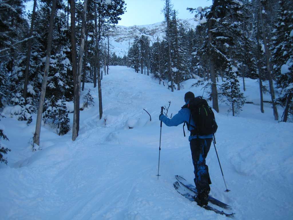
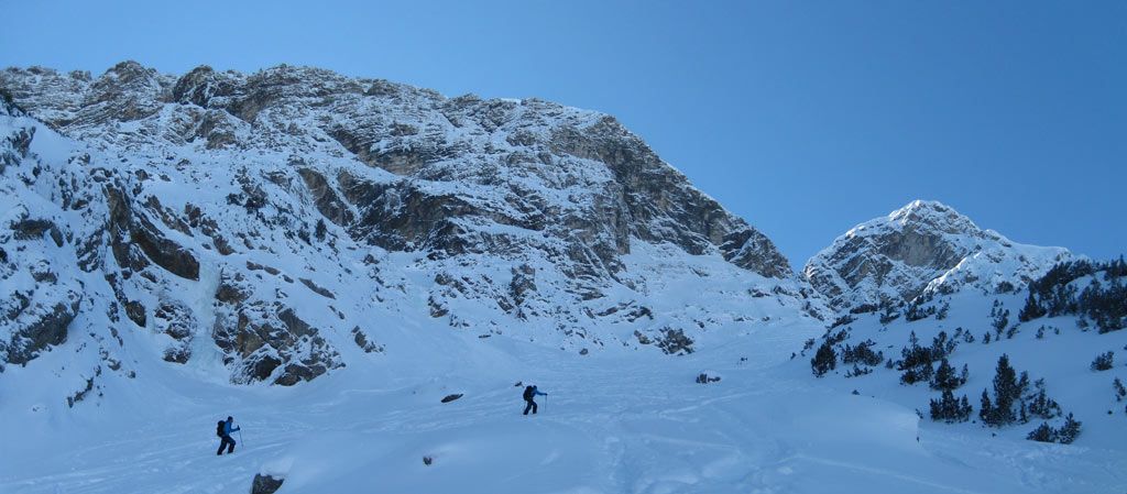
Directly at the Ammerwaldalm we cross the road and the stream and head directly southeast into the wood. First, it goes through a relatively sparse forest uphill to the start of a large forest aisle. Through this we continue up to a kind of high plateau. In most cases you will discover a frozen waterfall. We keep below the waterfall and continue to ascend up a fairly steep mountain pine covered step. Is this unpleasant section mastered, it goes into the large Kar (cwm) direction south (The Kar is often threated by high risk of avalanches).
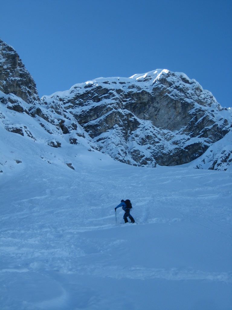
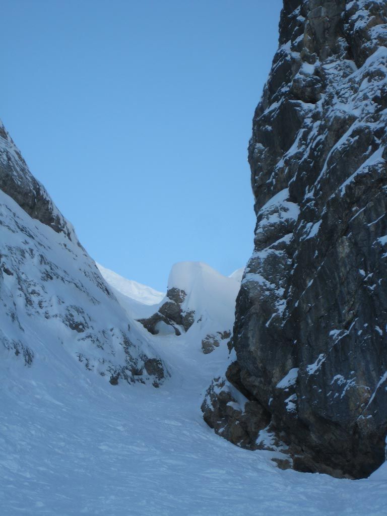
Now we can already see the steep couloir and split on in it`s direction. For us, unfortunately the tour was finished at the beginning of the channel, because we had to deal with technical problems. Nevertheless we would like to share the remaining route with you. So, it goes up the gully, you traverse the beautiful stone arch (here, the couloir has a gradient of 45-50 °) and below the cornice, formed in south wind weather conditions, you leave the channel to the east (to the left). Then it’s relatively flat to the summit of the Western Geierköpfe. The summit slope is often exposed to the wind.
Descent & Variants
As Ascent
Alternative, if you descended the steep couloir you can keep on riding slightly to the left. When you get up to the little hill you get access to another short but beautiful chute. Check it out while ascending, just before you reach the frozen waterfall.
Refreshments & Huts
Ein Getränk oder etwas zum Essen bei der Ammerwald Alm!
Maps
Kompass Karte 05: Oberammergau / Ammertal, 1:35.000
Photo Gallery
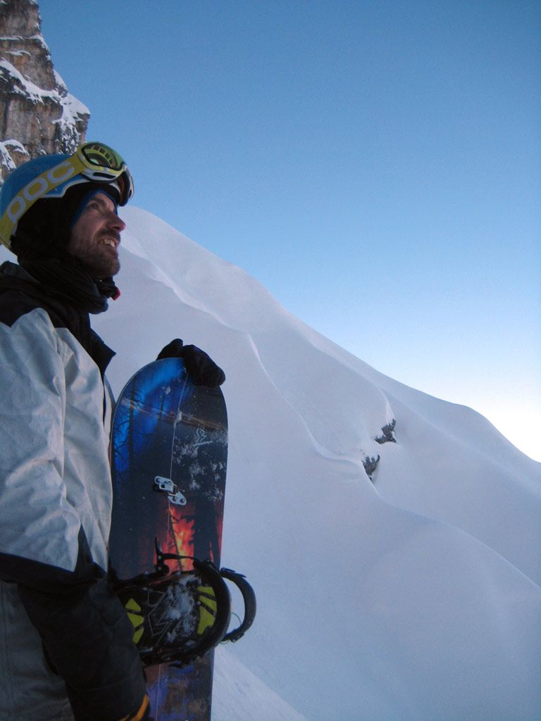
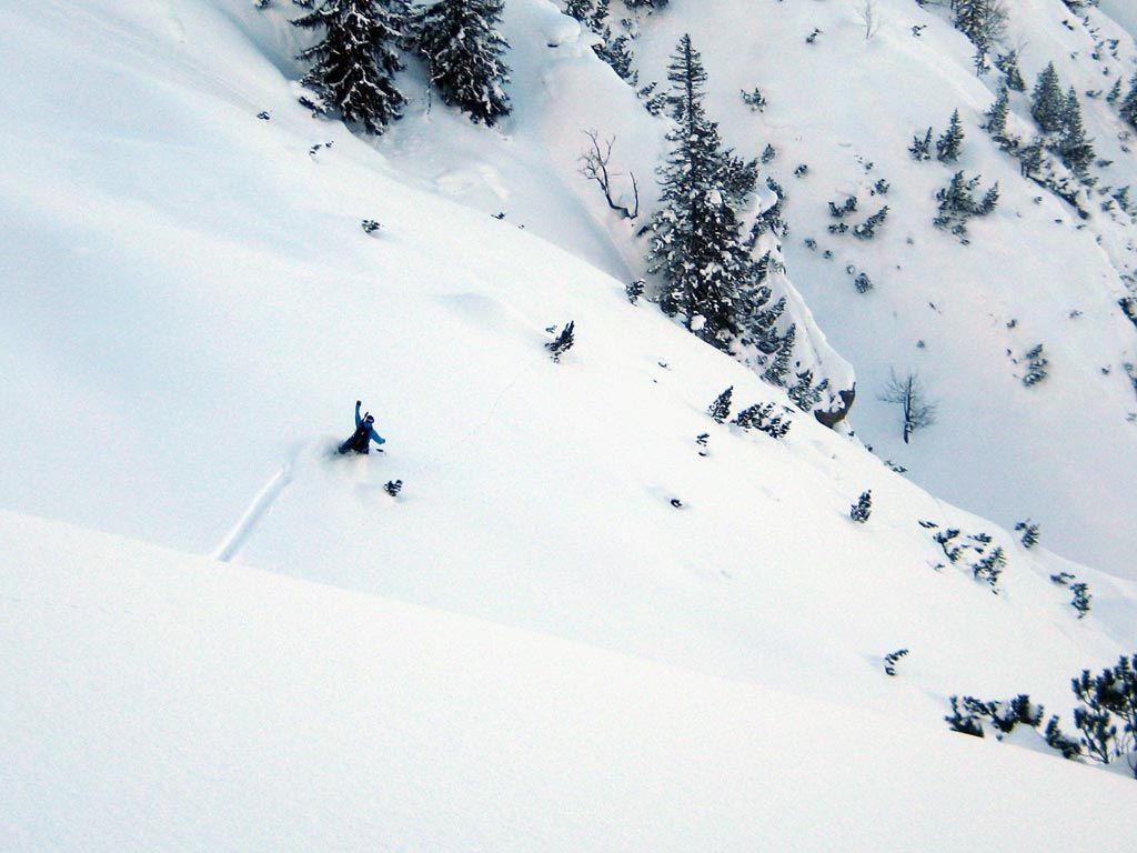
A selection of 6 photos from the tour:
Map and Avalanche Risk
[ASTRO_MAP_INFO_EN]
Image Gallery (6 Photos)
Show all 3 more photos
Slope Map
Tour Planning & Important Notes (OpenSlopeMap)
Tour Planning
You can plan and create your own tour directly in the map. The tour can then be downloaded as a GPX track.
Disclaimer
Every user of the map agrees to use the maps provided on OpenSlopeMap.org at their own responsibility and risk. OpenSlopeMap.org and its operators accept no responsibility for damages.
Map Explanation
- Slope inclinations are a very important criterion in avalanche risk management. However, slope inclination alone should never be the sole criterion!
- The resolution for Austria and South Tyrol is based on a digital terrain model (DTM) with 10m resolution. Outside these areas, accuracy is significantly lower.
- A map can only ever provide a limited view of real conditions.
Frequently Asked Questions
How difficult is this splitboard route?
The route is classified with difficulty level 5.
How many vertical meters does the tour include?
The ascent covers approximately 1080 vertical meters.
How long does the ascent take?
The tour takes around 3.5 hours.
Where does the route start?
The starting point of the tour is Ettal.