Geier
Route Character
The Geier is one of the most famous backcountry tours (splitboard and ski) situated in Wattener Lizum, due to its exposure and terrain the Geier conserves the snow really well. So you can still hike up the Geier in late spring.
Starting Point & Village
Starting point: Parking free of charge at Lager Walchen Village: Wattens
Ascent & Route
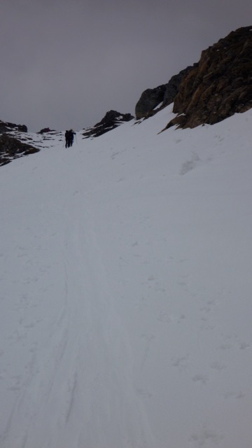
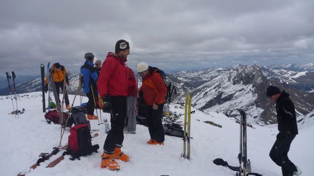
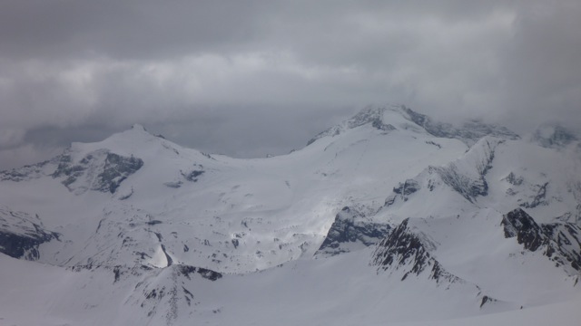
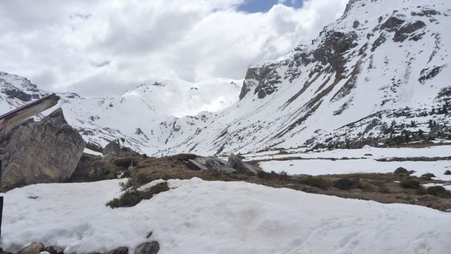
At the beginning we get some information about possibly closed sections on the way up. Because we move on military area. This information we get at the gate, just behind the parking. Now we are marching peacefully with our splitboards / ski touring ski along the military road to the bridge over the Lizumbach. We cross the bridge and hike on through the woods at the left side of the river up to the Wasserschloss. At the sign "Skiroute Lizumer Hütte" we walk the first plane forest road and then north up steeply through the forest until we get back on the military road. Now we go on to the Lager Walchen, reaching the south end we head up to the Lizumer Hütte. Now we hike on south deeper into the valley. Just before we reach the end of the valley, we turn right into the steep slopes towards southwest up to an altitude of about 2650m. From here, doing kickturns we hike up the steeper eastern slope of the striking summit plateau of the Geier at 2857m. Now we have earned ourselves a snack, enjoying the view into the Tux Mountains and prepare our splitboard / skitouring skis for the descent.
Descent & Variants
Until Lizumer Hütte we ride along the uphill-trail (or one of the numerous variations). Then on the road (we get a lot of speed to overcome the slight ascent almost, mounting the skins again is not necessary) until it goes right to a marked ski route.
Maps
DAV Alpenvereinskarte 31/5 Innsbruck und Umgebung 1 : 50 000 Skirouten
Kompass Karte WK37: Zillertaler Alpen - Tuxer Alpen 1 : 50 000: Wanderkarte mit Radwegen und Skitouren.
Photo Gallery
A selection of 4 photos from the tour:
Map and Avalanche Risk
[ASTRO_MAP_INFO_EN]
Image Gallery (4 Photos)
Show all 1 more photos
Slope Map
Tour Planning & Important Notes (OpenSlopeMap)
Tour Planning
You can plan and create your own tour directly in the map. The tour can then be downloaded as a GPX track.
Disclaimer
Every user of the map agrees to use the maps provided on OpenSlopeMap.org at their own responsibility and risk. OpenSlopeMap.org and its operators accept no responsibility for damages.
Map Explanation
- Slope inclinations are a very important criterion in avalanche risk management. However, slope inclination alone should never be the sole criterion!
- The resolution for Austria and South Tyrol is based on a digital terrain model (DTM) with 10m resolution. Outside these areas, accuracy is significantly lower.
- A map can only ever provide a limited view of real conditions.
Frequently Asked Questions
How difficult is this splitboard route?
The route is classified with difficulty level 5.
How many vertical meters does the tour include?
The ascent covers approximately 1457 vertical meters.
How long does the ascent take?
The tour takes around 5 hours.
Where does the route start?
The starting point of the tour is Wattens.