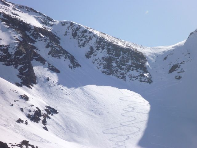
Gaiskogel
Route Character
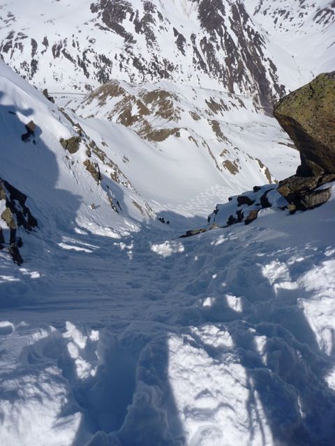
Short, crispy splitboard / backcountry hike ( if abbreviated with the cable car) with an excellent descent only for experienced riders and days of safe snow conditions. Backcountry skiiers often climb down the first 50 meters of the steep channel. ;-).
Starting Point & Village
Starting point: Gaiskogellift or Drei Seen Lift, (you can get a special ticket for ski mountaineering at quite a good rate) Village: Kühtai
Ascent & Route
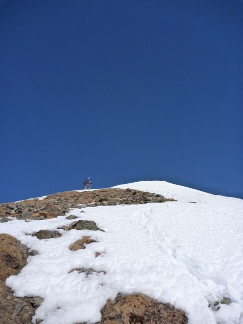
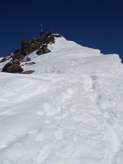
On the slopes we hike along the Gaiskogellift, when we have reached the top station, we already see the mountain station of the Drei Seen Lift. We keep slightly to the right and walk in the direction of the mountain station of the second lift. Once here we can already see the steep ascent to the Gaiskogel Sattel. This is where the real splitboard / backcountry-feeling begins. We go to the east, up to the steep slope reaching the Gaiskogel Sattel. If we have achieved this, depending to the snow conditions we can walk up a little further. If the Terrain is getting to steep for hiking, we mount our splitboards or skies on the backpack and go on to the summit of the Gaiskogel. We check the conditions, have a breake, some food and decide if we can make the descent to the north or not.
Descent & Variants
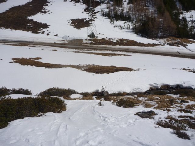
If we are really good snowboard riders and the conditions (snow, visibility, temperature, avalanche danger, riding skills, ...) fit, we can make the really racy Northface. It begins in an extremely steep and narrow chute (50 meters) and than opens up a in a wide Kar, in which we hold ourselves riding more to the left. We ride through great splitboard / backcountra area, steep enough for having goood fun. At about 2300m, shortly before the middle ridge we introduce a slight turn to the right and ride directly into the Außer Hirschebenen. Here, we just follow our nose until we reach the river. Near the river you can find a bridge, you cross it and you are back to civilasation. Getting back to Kühtai you have several possibilities: Hitch-Hiking up is a good one. Walking down to Haggen and catch a bus is not bad but you need time.
Refreshments & Huts
The Dortmunder Hütte has classic Kaspressknödel, and offers a beautiful view of the lines we have just made a week before at the Hochwanner.
Maps
AV Karte: 31/2 Stubaier Alpen / Sellrain 1:25.000
Photo Gallery
A selection of 5 photos from the tour:
Map and Avalanche Risk
[ASTRO_MAP_INFO_EN]
Image Gallery (5 Photos)
Show all 2 more photos
Slope Map
Tour Planning & Important Notes (OpenSlopeMap)
Tour Planning
You can plan and create your own tour directly in the map. The tour can then be downloaded as a GPX track.
Disclaimer
Every user of the map agrees to use the maps provided on OpenSlopeMap.org at their own responsibility and risk. OpenSlopeMap.org and its operators accept no responsibility for damages.
Map Explanation
- Slope inclinations are a very important criterion in avalanche risk management. However, slope inclination alone should never be the sole criterion!
- The resolution for Austria and South Tyrol is based on a digital terrain model (DTM) with 10m resolution. Outside these areas, accuracy is significantly lower.
- A map can only ever provide a limited view of real conditions.
Frequently Asked Questions
How difficult is this splitboard route?
The route is classified with difficulty level 5.
How many vertical meters does the tour include?
The ascent covers approximately 820 vertical meters.
How long does the ascent take?
The tour takes around 2 hours.
Where does the route start?
The starting point of the tour is Kühtai.