Frommes-Kreuz from Fiss
Route Character
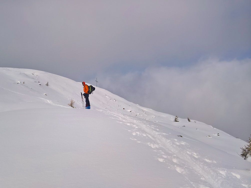
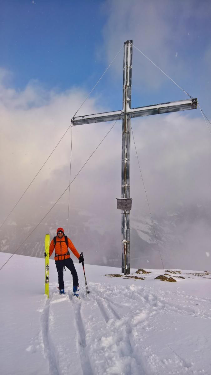
Early season tour with ascent via hiking trails and descent via the ski slopes. Wind-protected, because mainly situated in the forest and with a large summit cross as an eye-catcher at the tour goal.
Starting Point & Village
Starting point: Parking is available in the village. The parking areas of the Fiss mountain lifts are officially only open to lift customers… We start at the beginning of the pistes in order to quickly reach the forest paths.
Fiss can also be reached by postbus from Landeck. Village: Fiss
Ascent & Route
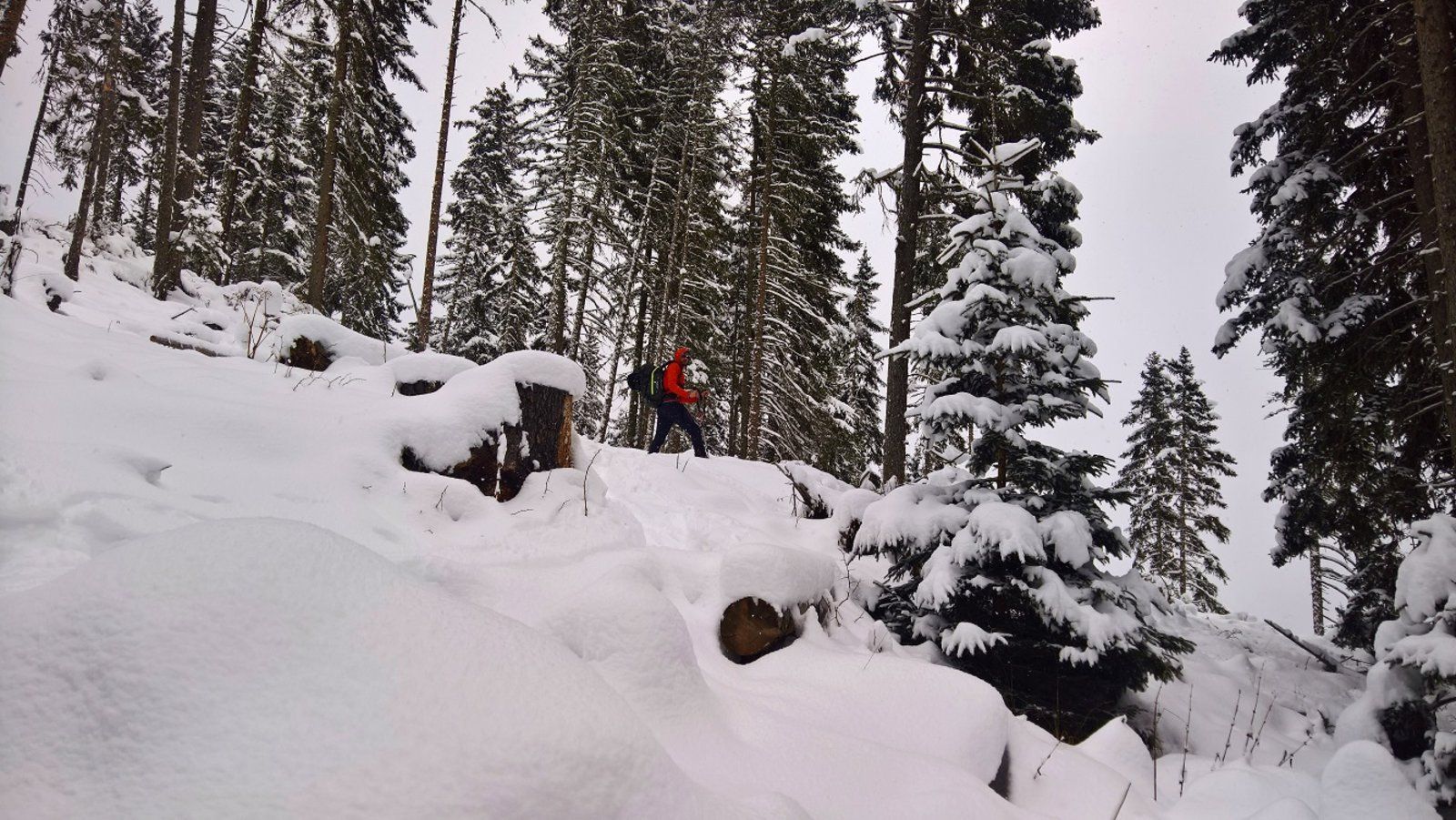
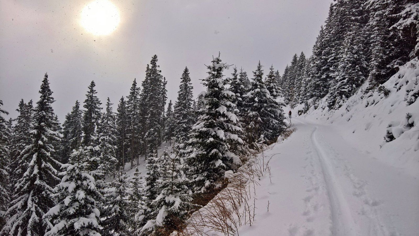
Follow the blue piste until you reach the children”s ski school (many “magic carpets”). From there, a marked trail with a tour information board branches off. Follow this path for about 2km, gently ascending until a steeper path bends left into the forest. Usually there is also a clear track here. The trail now continues in a relatively direct line up the forest up to about 1750m and another longer, flat traverse to the right follows. This leads back to the red piste (Frommes run).
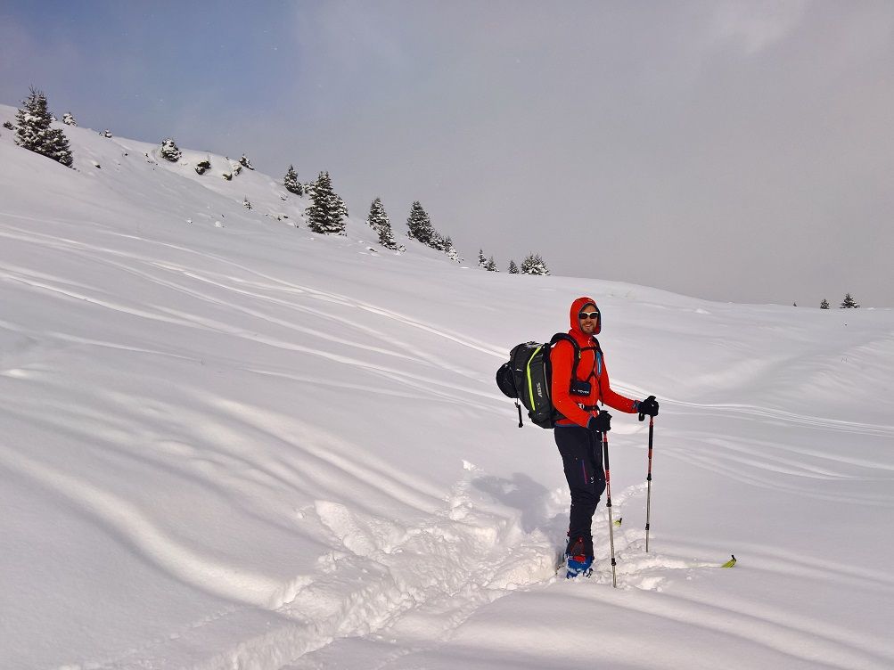
Follow the ski slope uphill for a short while and then leave it again to the right. Either at the peak of the big curve (1920m) or at a small bridge above the curve (1960m) to ascend over pastures in zigzag to the summit (large cross).
Descent & Variants
From the cross you traverse on the ridge in the direction of Schönjöchl, but after about 700m you descend to the left to the slope. Descent via the piste back to the starting point.
Photo Gallery
A selection of 5 photos from the tour:
Map and Avalanche Risk
[ASTRO_MAP_INFO_EN]
Image Gallery (5 Photos)
Show all 2 more photos
Slope Map
Tour Planning & Important Notes (OpenSlopeMap)
Tour Planning
You can plan and create your own tour directly in the map. The tour can then be downloaded as a GPX track.
Disclaimer
Every user of the map agrees to use the maps provided on OpenSlopeMap.org at their own responsibility and risk. OpenSlopeMap.org and its operators accept no responsibility for damages.
Map Explanation
- Slope inclinations are a very important criterion in avalanche risk management. However, slope inclination alone should never be the sole criterion!
- The resolution for Austria and South Tyrol is based on a digital terrain model (DTM) with 10m resolution. Outside these areas, accuracy is significantly lower.
- A map can only ever provide a limited view of real conditions.
Frequently Asked Questions
How difficult is this splitboard route?
The route is classified with difficulty level 2.
How many vertical meters does the tour include?
The ascent covers approximately 770 vertical meters.
How long does the ascent take?
The tour takes around 2.25 hours.
Where does the route start?
The starting point of the tour is Fiss.