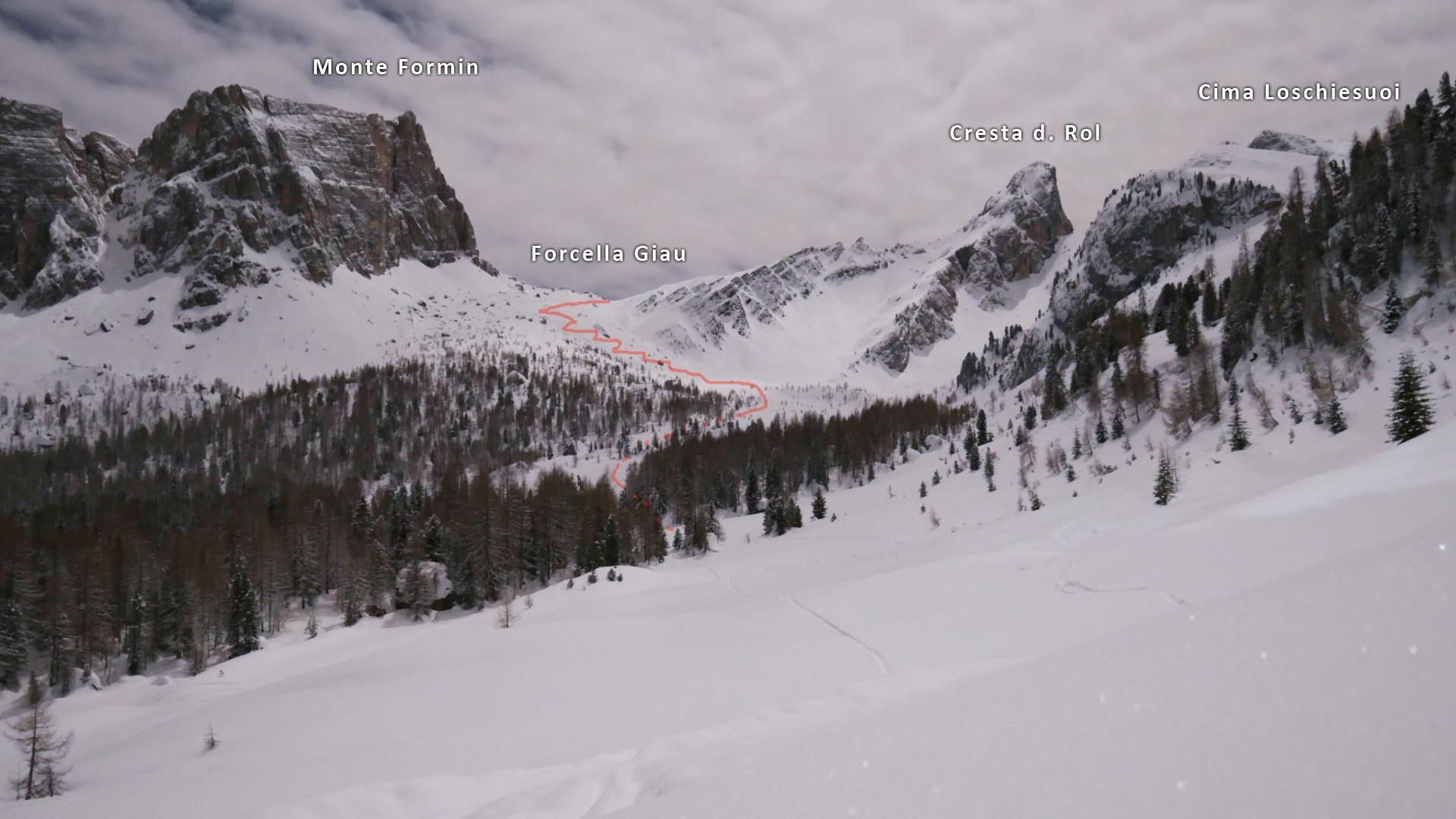
Forcella Giau
Route Character
Easy and nice splitboard tour, which can be done even in critical avalanche conditions when chosing the proper route for the ascent. Under safe conditions, it is possible to descend via one of the short, very steep gullies. The high starting point and the northern exposure guarantees good snow conditions.
Starting Point & Village
Starting point: After about 7.5 km on Passo Giau, stop at the cutout in front of the steep right turn. If the cutout is not cleared or occupied, you can also park a curve further down where there is a branch to a small hut. Village: Cortina d”Ampezzo
Ascent & Route
From the corner head southwards into the flat, free ground. Through a short, sparse woodside where one will reach a free area again. From there further south and then east. Choose the ascent over the left slope, which is interspersed with a few boulders. Especially in critical avalanche situations, it is not advisable to choose the ascent through the channel. Continue until you reach the Forcella Giau. From this col you have two options:
- to the right over another flat slope to Forcella Loschiesuoi (2580m)
- Continue straight ahead to Monte Mondeval (2455m), but not worthwhile for splitboarders, because a short climb uphill has to be done during the way back.
Descent & Variants
From Forcella Giau multiple options:
- Following the tracks of the ascent, then you stay below 30° during the whole tour
- The direct way through the col
- In safe conditions through one of the steeper chutes (over 40° for 100 vertical meters)
Maps
Cortina D’Ampezzo e Dolomiti Ampezzane: Wanderkarte Tabacco. 1:25000
Photo Gallery
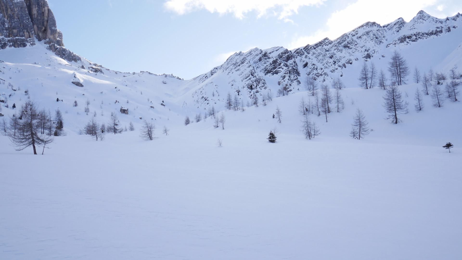
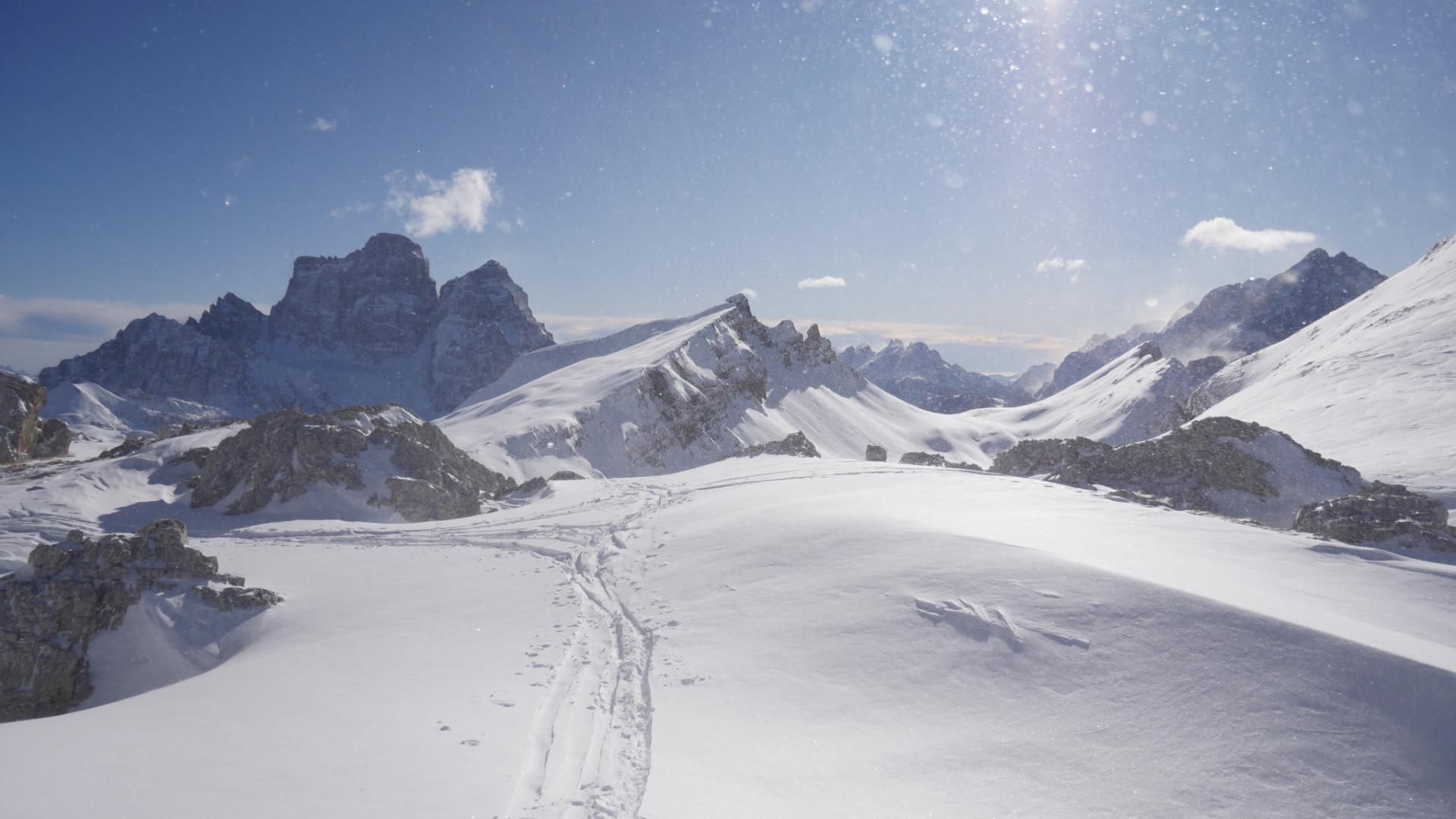
A selection of 3 photos from the tour:
Map and Avalanche Risk
[ASTRO_MAP_INFO_EN]
Image Gallery (3 Photos)
Slope Map
Tour Planning & Important Notes (OpenSlopeMap)
Tour Planning
You can plan and create your own tour directly in the map. The tour can then be downloaded as a GPX track.
Disclaimer
Every user of the map agrees to use the maps provided on OpenSlopeMap.org at their own responsibility and risk. OpenSlopeMap.org and its operators accept no responsibility for damages.
Map Explanation
- Slope inclinations are a very important criterion in avalanche risk management. However, slope inclination alone should never be the sole criterion!
- The resolution for Austria and South Tyrol is based on a digital terrain model (DTM) with 10m resolution. Outside these areas, accuracy is significantly lower.
- A map can only ever provide a limited view of real conditions.
Frequently Asked Questions
How difficult is this splitboard route?
The route is classified with difficulty level 2.
How many vertical meters does the tour include?
The ascent covers approximately 600 vertical meters.
How long does the ascent take?
The tour takes around 2 hours.
Where does the route start?
The starting point of the tour is Cortina d''Ampezzo.