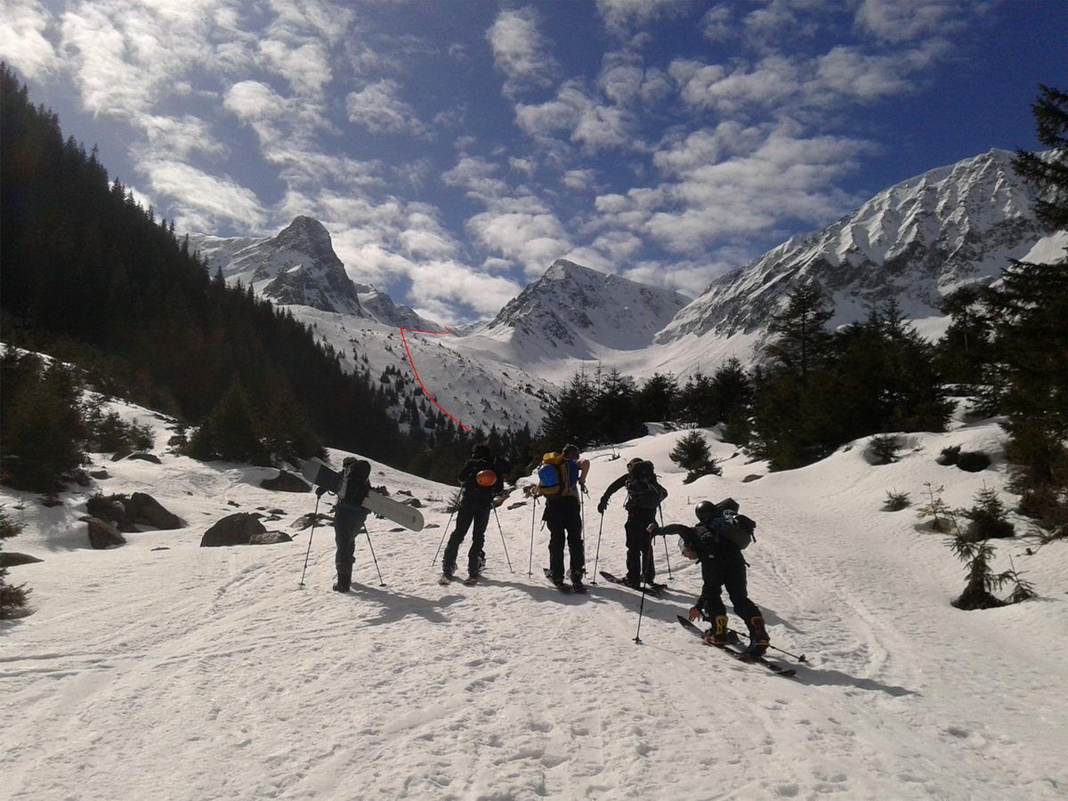
Fereastra Mare a Sâmbetei
Route Character
If you want to look from the Sambetei Valley to the south side of Fagaras, you are heading irresistibly towards the Big Window. The steep last slope and the downhill variants require safe conditions on this otherwise less difficult tour.
Starting Point & Village
Starting point: The ascent to the Cabana Valea Sambetei (Cabana Sambata 1401m) is sufficiently signposted from the end of the timber road up to the hut and follows the valley and terrain form as a path. Above a steep step once crossing the stream to the west side (walking time depending on starting point approx. 1 - 1.5h). The hut, which is simple but well equipped and managed, is a quick and easy to reach, ski touring base. Village: Sâmbăta de Sus
Ascent & Route
At the start from the hut into the valley, one sees a sparsely wooded slope straight ahead over the left side where we later leave the valley floor. First pass the mountain rescue hut (Salvamont emergency call: 072-582-6668), to the right of the stream always at a distance from the flanks of the mountains until you reach the foot of the light forest slope (signpost Fereastra Mare). To the right of the gully through the narrow forest belt and following in principle the summer path (also marker poles), but paying attention to blown-in areas, up the hill until a cross appears (La Cruce, 1750m).
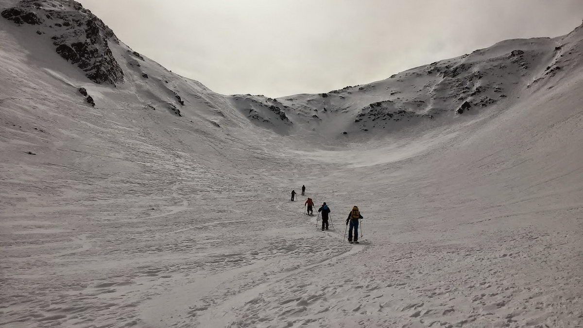
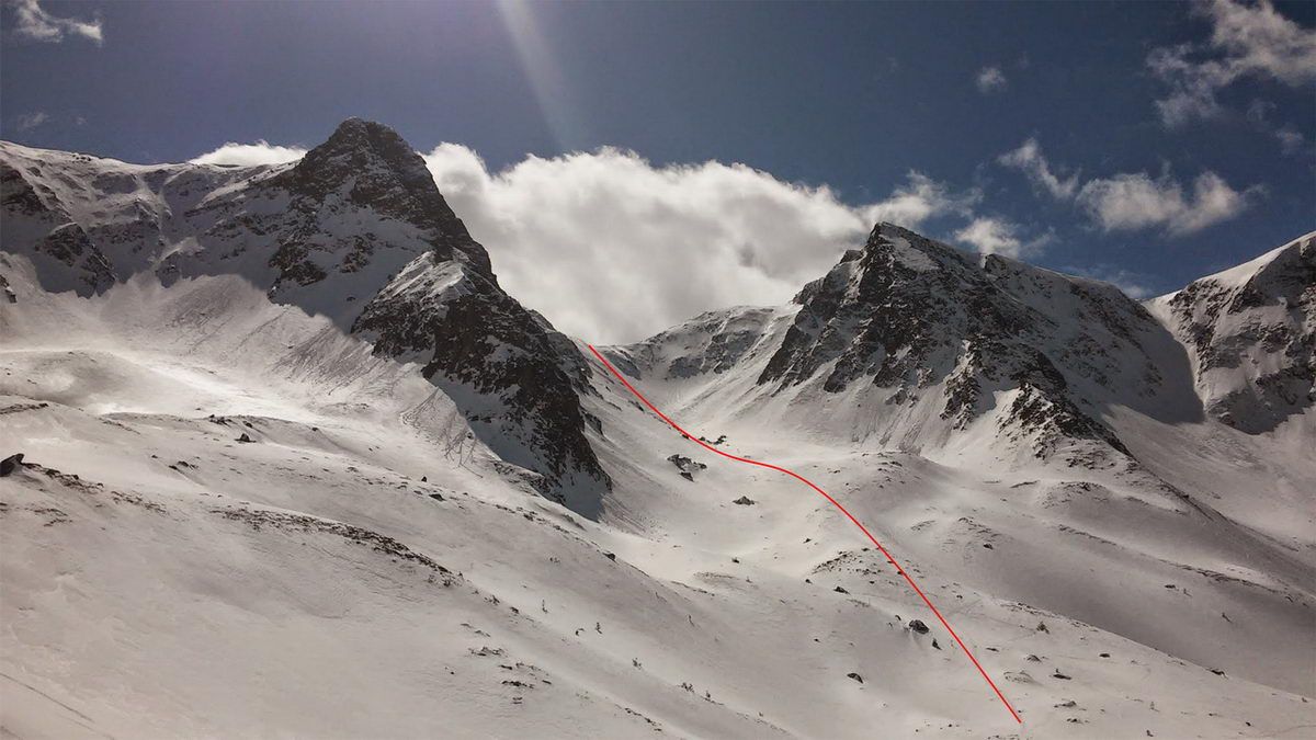
Below this hill, the bowl leads us to the left to a signpost that may be snowed in. Here we turn south again, leaving La Cruce behind us and gently ascending into the high valley, always with sufficient distance to the flanks. Our goal gets closer and closer until we finally stand in the cauldron at the foot of the steep final climb. Depending on the conditions by splitboard in kickturn bends or bootpacking up the often very blown-in slope, the marking poles of the summer trail stand for orientation on the mostly blown off ridge that divides the slope a bit.
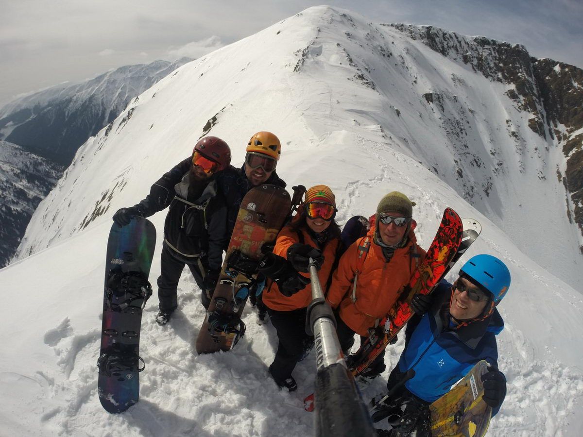
When you arrive at the pass, you will be attracted on the left and on the right by close summit destinations or if you are lucky and the wind doesn’t blow a whistle, an extended break and then a pleasurable descent.
Descent & Variants
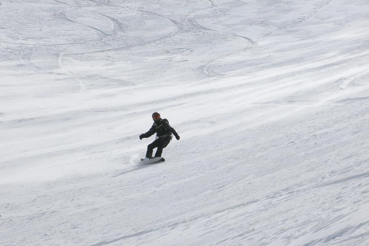
Like ascent, ride the steep slope at the beginning one by one and here as already in the ascent, pay attention to the sometimes massive shifts of snow.
About halfway down the descent to La Cruce, you can also follow the bowls that lead to the left, if the conditions are safe. These later become steeper and lead to the huge slope that stretches down from the “little window”.
Photo Gallery
A selection of 5 photos from the tour:
Map and Avalanche Risk
[ASTRO_MAP_INFO_EN]
Image Gallery (5 Photos)
Show all 2 more photos
Slope Map
Tour Planning & Important Notes (OpenSlopeMap)
Tour Planning
You can plan and create your own tour directly in the map. The tour can then be downloaded as a GPX track.
Disclaimer
Every user of the map agrees to use the maps provided on OpenSlopeMap.org at their own responsibility and risk. OpenSlopeMap.org and its operators accept no responsibility for damages.
Map Explanation
- Slope inclinations are a very important criterion in avalanche risk management. However, slope inclination alone should never be the sole criterion!
- The resolution for Austria and South Tyrol is based on a digital terrain model (DTM) with 10m resolution. Outside these areas, accuracy is significantly lower.
- A map can only ever provide a limited view of real conditions.
Frequently Asked Questions
How difficult is this splitboard route?
The route is classified with difficulty level 3.
How many vertical meters does the tour include?
The ascent covers approximately 800 vertical meters.
How long does the ascent take?
The tour takes around 2.5 hours.
Where does the route start?
The starting point of the tour is Sâmbăta de Sus.