Feldalphorn
Route Character
Gentle tour with wide, open mountain pasture slopes for beginners or as an alternative in unsafe conditions. Very popular tour with beginners and accordingly on fine weekends usually very crowded.
Starting Point & Village
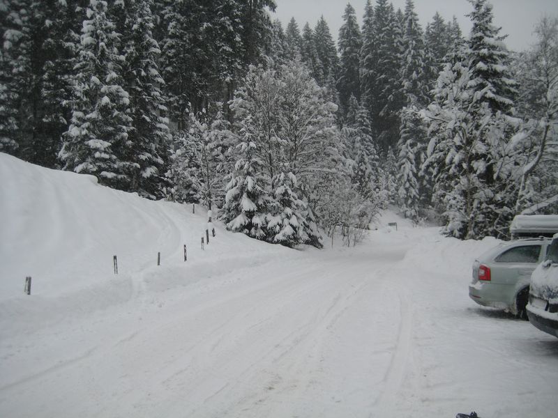
Starting point: Plenty free parking along the street shortly after Schwarzenau. Village: Wildschönau
Ascent & Route
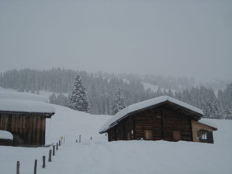
From the first car park, below a steep hill on the left along the small stream (almost always tracks) to the upper houses of Schwarzenau. Right here on a "back" to the forest road which crosses the stream. Following the signs to the left along a fence (barbed wire) directly towards the steep meadows and aiming up to the top right of this. Now follow the forest road to the left through the forest and then right across a meadow to the Lower Prädastenalm. In principle, following the forest road, you will soon reach the steeper pastures below the Prädastenalm, you either climb them directly in a few bends or easily follow the forest road.
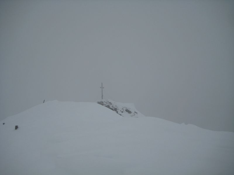
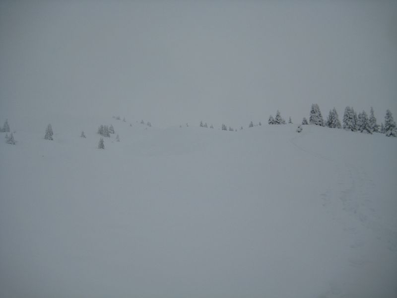
Straight from the pasture to the east, over a short steeper step then keep left and fairly flat over towards Vordere Feldalm. Even before this pasture in a right turn up the light-wooded ridge and with little exhaust in southeastern direction further up until you turn left onto the flat summit plateau. The summit cross is photogenic on a small ledge.
On nice days, fantastic views on many tour destinations in the area.
Descent & Variants
More or less along the ascent route down the spacy slopes. It usually does not take long, then along the route there is at least one strip retracted like piste.
Maps
Kitzbüheler Alpen: Wandern / Rad / Skitouren. Mit Panorama. GPS-genau. 1:50.000
DAV Alpenvereinskarte 34/1 Kitzbüheler Alpen West 1 : 50 000
Photo Gallery
A selection of 4 photos from the tour:
Map and Avalanche Risk
[ASTRO_MAP_INFO_EN]
Image Gallery (4 Photos)
Show all 1 more photos
Slope Map
Tour Planning & Important Notes (OpenSlopeMap)
Tour Planning
You can plan and create your own tour directly in the map. The tour can then be downloaded as a GPX track.
Disclaimer
Every user of the map agrees to use the maps provided on OpenSlopeMap.org at their own responsibility and risk. OpenSlopeMap.org and its operators accept no responsibility for damages.
Map Explanation
- Slope inclinations are a very important criterion in avalanche risk management. However, slope inclination alone should never be the sole criterion!
- The resolution for Austria and South Tyrol is based on a digital terrain model (DTM) with 10m resolution. Outside these areas, accuracy is significantly lower.
- A map can only ever provide a limited view of real conditions.
Frequently Asked Questions
How difficult is this splitboard route?
The route is classified with difficulty level 2.
How many vertical meters does the tour include?
The ascent covers approximately 957 vertical meters.
How long does the ascent take?
The tour takes around 2.5 hours.
Where does the route start?
The starting point of the tour is Wildschönau.