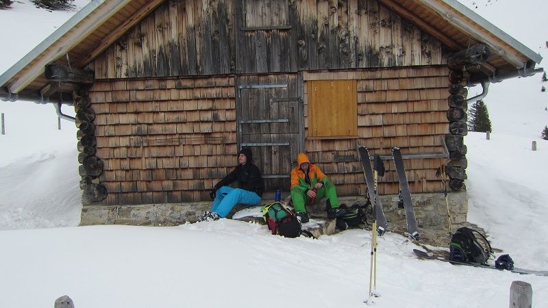
Eselweg to Rappenseehütte
Route Character
Superb two-day tour with overnight stay in the winter room of the Rappensee hut. From there, in good conditions, many other (ascent) possibilities.
Starting Point & Village
Starting point: Parking lot below the Fellhornbahn valley station, Oberstdorf Faistenoy. NOT Fellhornbahn car park. Free of charge. Village: Oberstdorf
Ascent & Route
From the car park follow the path into the valley. First through Anatswald and Birgsau to the bus turnboard, from there you can usually start to strap in.
Follow the path along the Stillach and later the Rappelalpenbach for about 10 km to the Schwarzer Hütte. Most of the time, there is no need to track here at least until the game feed just before the Schwarzer Hütte.
At the Schwarzer Hütte, turn left and follow the signs to Rapenseehütte into the forest. At first, ascend quite steeply through the forest until the path leads out of the forest and over an open stretch to the middle Rappenalpe.
Pass it and continue uphill. At the bottom left the Enzianhütte becomes visible. Leave it on the left and traverse to the right over a steep part. Take off your skis and hit the stairs with the boots if necessary. This is a bit of a difficult spot in bad conditions, but then you reach easier terrain again. Follow the signpost to the left. After a while you will see the summit cross, which is located slightly above almost next to the Rappensee hut (about five minutes on foot). The entrance to the winter room can be reached from behind in the left building.
Descent & Variants
Like ascent. If the conditions are very good, you may be able to use the gully at the bottom of the forest to the right of the ascent route (not tried yet!).
Photo Gallery
A selection of 5 photos from the tour:
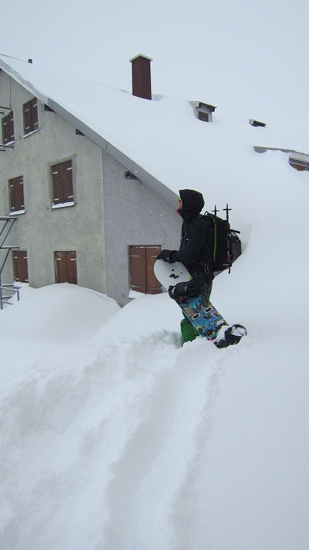
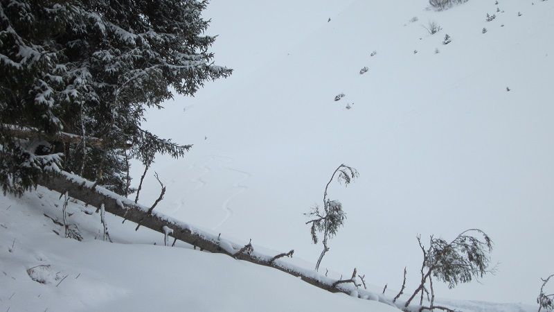
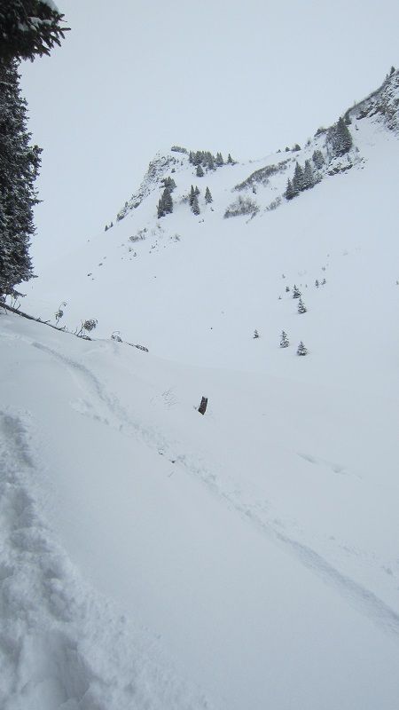
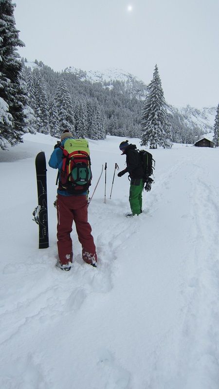
Map and Avalanche Risk
[ASTRO_MAP_INFO_EN]
Image Gallery (5 Photos)
Show all 2 more photos
Slope Map
Tour Planning & Important Notes (OpenSlopeMap)
Tour Planning
You can plan and create your own tour directly in the map. The tour can then be downloaded as a GPX track.
Disclaimer
Every user of the map agrees to use the maps provided on OpenSlopeMap.org at their own responsibility and risk. OpenSlopeMap.org and its operators accept no responsibility for damages.
Map Explanation
- Slope inclinations are a very important criterion in avalanche risk management. However, slope inclination alone should never be the sole criterion!
- The resolution for Austria and South Tyrol is based on a digital terrain model (DTM) with 10m resolution. Outside these areas, accuracy is significantly lower.
- A map can only ever provide a limited view of real conditions.
Frequently Asked Questions
How difficult is this splitboard route?
The route is classified with difficulty level 4.
How many vertical meters does the tour include?
The ascent covers approximately 1182 vertical meters.
How long does the ascent take?
The tour takes around 7 hours.
Where does the route start?
The starting point of the tour is Oberstdorf.