Die Wilde - Vorderstoder Wildalmleiten
Route Character
Beautiful tour at strong fresh snowfall and avalanche danger!
Starting Point & Village
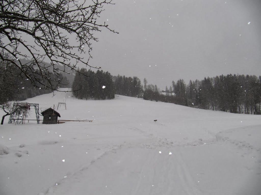
Starting point: The starting point is the sawmill at the Hackl lifts. Behind the sawmill is a small ski tourers parking ploughed by locals. Über eine kleine Spende in die Spendenbox freun sich diese sicher! Aufstiegsfaule können sich mit der Fahrt bis zum Almgasthof Baumschlagerberg ca. 150HM sparen Village: Vorderstoder
Ascent & Route
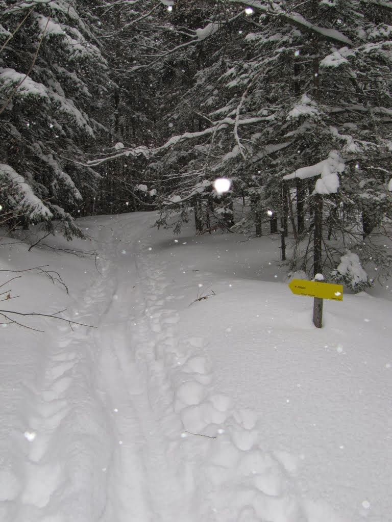
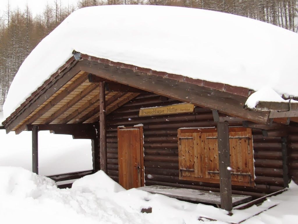
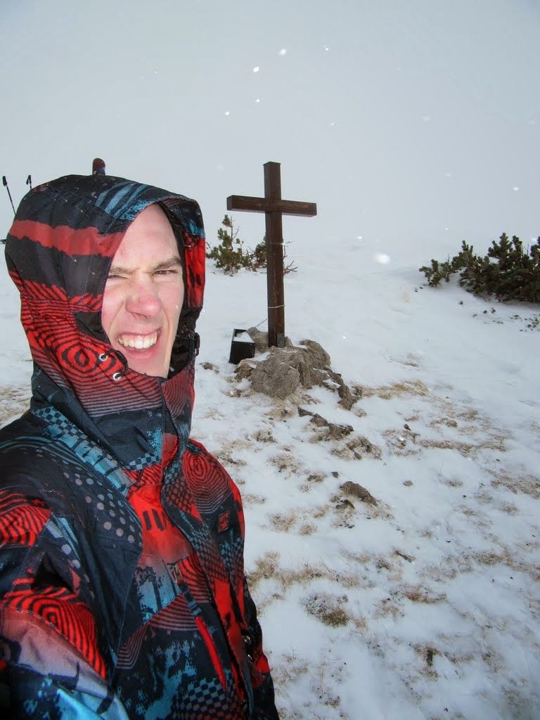
First, along the two slopes up to the top - keep right there along the way. From here, the summer path (no. 11) is the sign post. Here one comes, always keeping to the right to a mountain hut (name escaped me). This is left on the right and then again the summer marking is used for orientation (this time no. 12). From 1,300 meters above sea level the slope gets steeper in short switchbacks you climb up through the beautiful old larch stock. With snowshoes you have to take care not to destroy the ski touring track or one groomes by yourself. When the slope gets flatter we already see 2 beautiful huts. Passing them to the right, it goes flat through sparse trees. Following the ridge one reaches the summit with 1.917m.
Descent & Variants
Mostly like the ascent. At lots of snow the many snowbound stones and peaks in the steep part of the forest are a dream! Caution - also in the lower part you have to ride down the ascent path- enough spark to take the flats - and try not to destroy the ascent trails! If it blows at the top and is cold it is recommended to ride down to the huts to have a snack in the wind protected porch area.
Maps
Tourenführer Österreich!
Photo Gallery
A selection of 5 photos from the tour:
Map and Avalanche Risk
[ASTRO_MAP_INFO_EN]
Image Gallery (5 Photos)
Show all 2 more photos
Slope Map
Tour Planning & Important Notes (OpenSlopeMap)
Tour Planning
You can plan and create your own tour directly in the map. The tour can then be downloaded as a GPX track.
Disclaimer
Every user of the map agrees to use the maps provided on OpenSlopeMap.org at their own responsibility and risk. OpenSlopeMap.org and its operators accept no responsibility for damages.
Map Explanation
- Slope inclinations are a very important criterion in avalanche risk management. However, slope inclination alone should never be the sole criterion!
- The resolution for Austria and South Tyrol is based on a digital terrain model (DTM) with 10m resolution. Outside these areas, accuracy is significantly lower.
- A map can only ever provide a limited view of real conditions.
Frequently Asked Questions
How difficult is this splitboard route?
The route is classified with difficulty level 2.
How many vertical meters does the tour include?
The ascent covers approximately 1017 vertical meters.
How long does the ascent take?
The tour takes around 3.5 hours.
Where does the route start?
The starting point of the tour is Vorderstoder.