Črna Prst
Route Character
The north face of the Crna prst Mountain can offer great powder even in late spring. It has a beautiful view on the Bohinj lake, mount Triglav and plateaus Jelovica in Pokljuka.
Starting Point & Village
Starting point: My starting point is in Ravne v Bohinju. In the middle there is a parking lot of the closed ski area Kobla. You can park there and than you follow the ski area towards south. Village: Bohinjska Bistrica
Ascent & Route
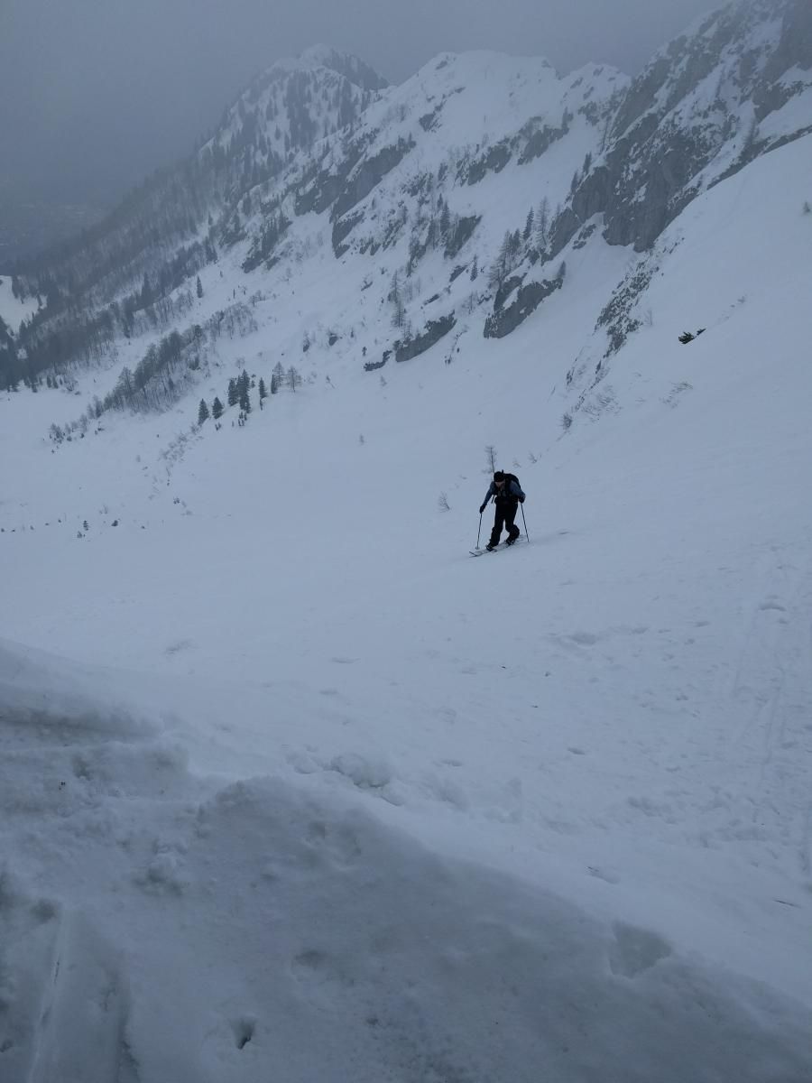
Please take note here!! The ascent is not difficult or demanding at the beginning, but the last section is very demanding - it requires one to know how to use crampons and axes and one must be comfortable walking, skiing or boarding on terrain steeper than 35°
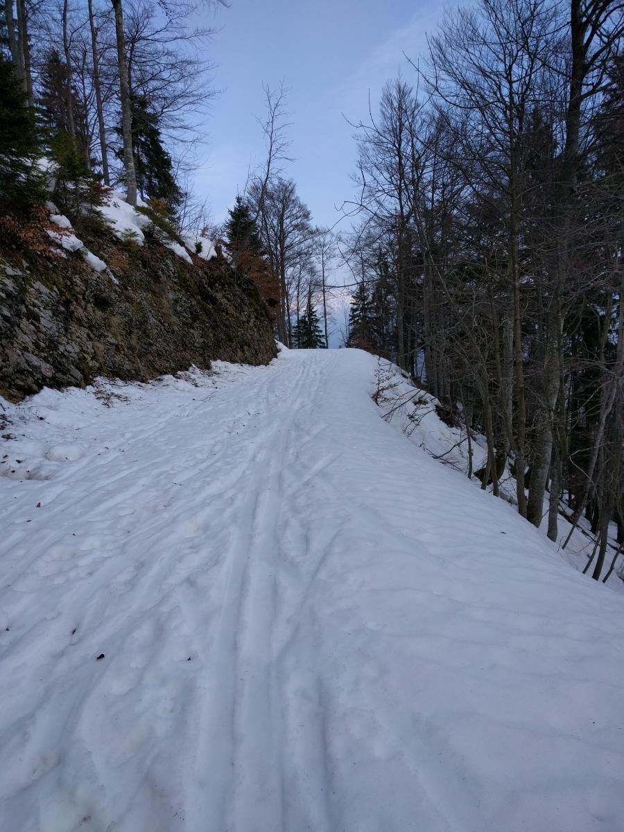
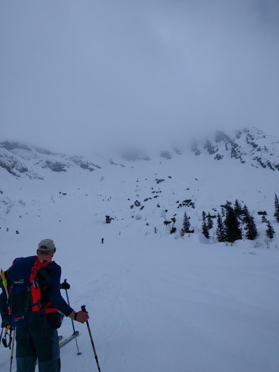
From the parking lot you go south and uphill. You follow the ski area to the finish of the next chairlift. There you turn west and follow a forest road. Soon you see the marks and signs for Oroznova koca. Usually there are some tracks already there except if you are first. When you reach the Oroznova koca hut you get to see the Crna prst on the south. There are several routes to the top. To continue you first descend a few vertical but than it goes only up. You pass two bigger boulders on your way up. If you choose the north wall you should use crampons and a snow axe. You should follow the gully that is orientated south and approximatley on 3/4 starts to turn west. There you get to see the Dom Zorka Jelincica hut on the Crna prst. Be careful in the gully fore it is steep and it can be frozen up. When you reach the Dom Zorka Jelincica hut you can leave your splitboard or skis there and ascend to the summit.
Descent & Variants
The descent is best to be done on the ascent route - You know the conditions and the steepness of the terrain.
Photo Gallery
A selection of 4 photos from the tour:
Map and Avalanche Risk
[ASTRO_MAP_INFO_EN]
Image Gallery (4 Photos)
Show all 1 more photos
Slope Map
Tour Planning & Important Notes (OpenSlopeMap)
Tour Planning
You can plan and create your own tour directly in the map. The tour can then be downloaded as a GPX track.
Disclaimer
Every user of the map agrees to use the maps provided on OpenSlopeMap.org at their own responsibility and risk. OpenSlopeMap.org and its operators accept no responsibility for damages.
Map Explanation
- Slope inclinations are a very important criterion in avalanche risk management. However, slope inclination alone should never be the sole criterion!
- The resolution for Austria and South Tyrol is based on a digital terrain model (DTM) with 10m resolution. Outside these areas, accuracy is significantly lower.
- A map can only ever provide a limited view of real conditions.
Frequently Asked Questions
How difficult is this splitboard route?
The route is classified with difficulty level 5.
How many vertical meters does the tour include?
The ascent covers approximately 1112 vertical meters.
How long does the ascent take?
The tour takes around 4 hours.
Where does the route start?
The starting point of the tour is Bohinjska Bistrica.