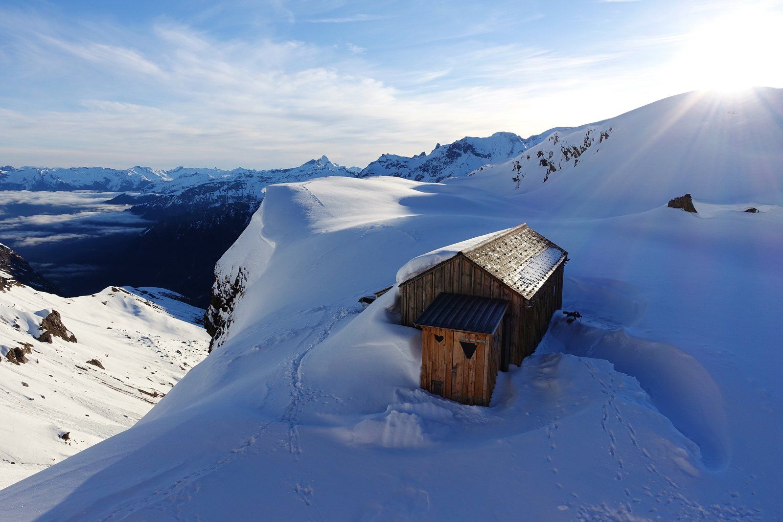
Clariden from Clariden Lodge
Route Character
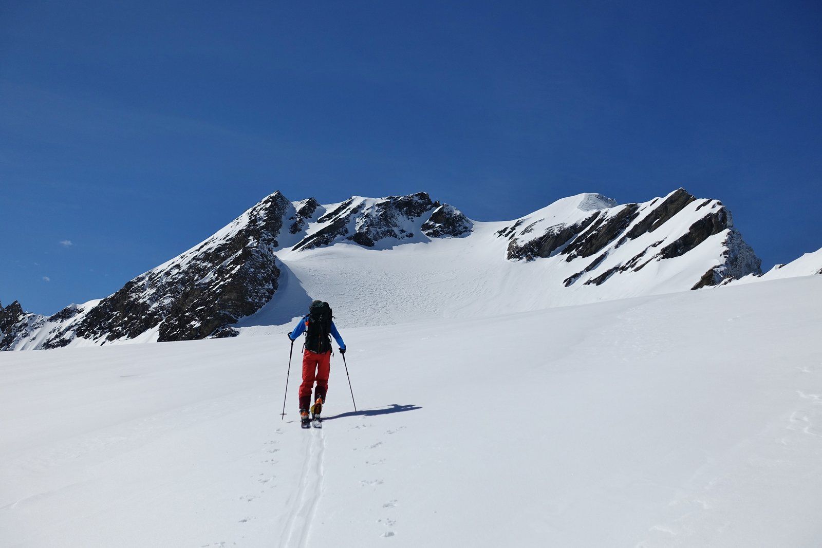
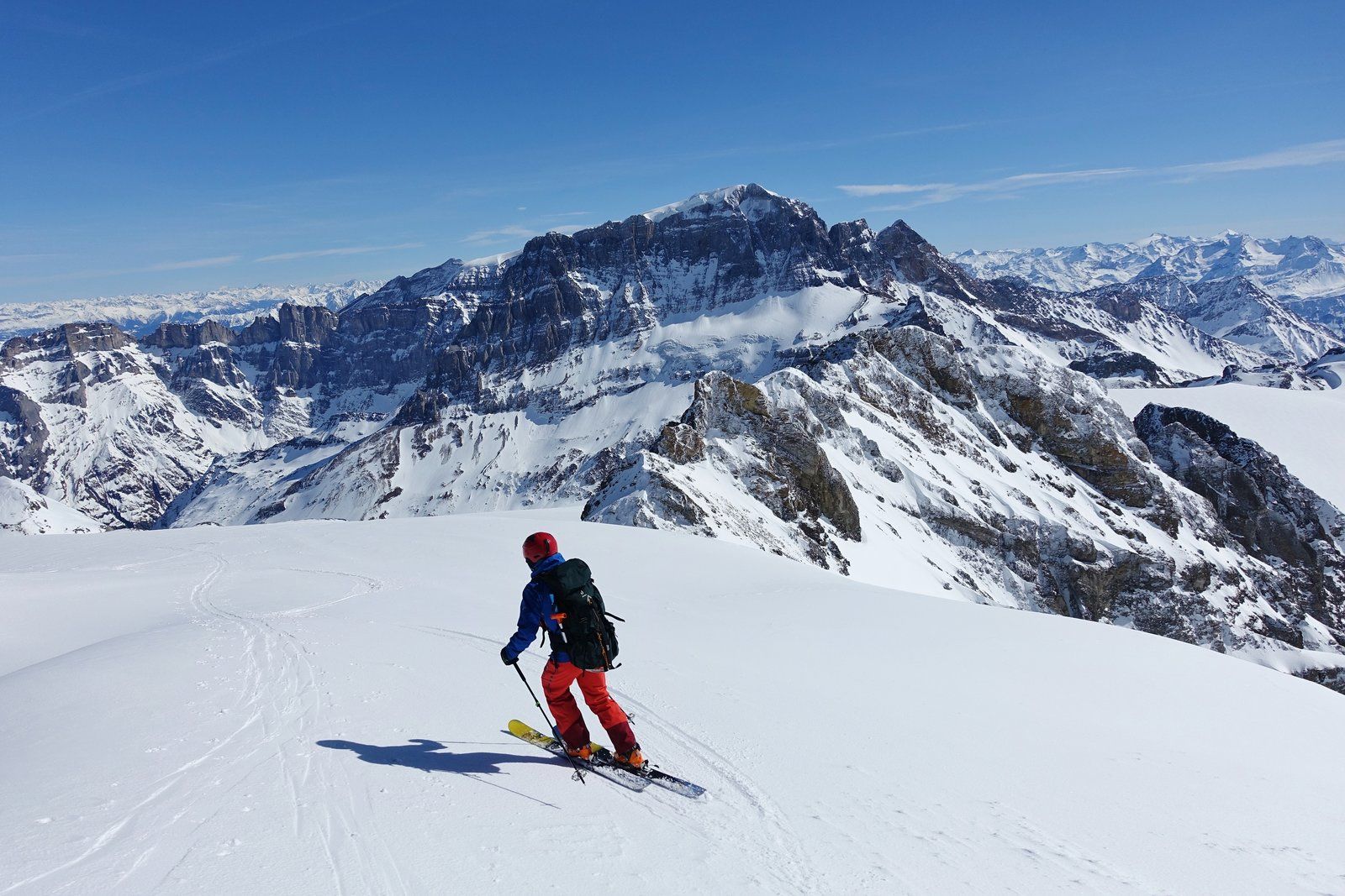
Nearly continuous glacier ascent with usually low risk of crevasses. The only steep part (~40°) is at the summit. In the case of slow snow, the descent can unfortunately end quite early due to the slight inclination.
Starting Point & Village
Starting point: Starting point is the lodge Claridenhütte.
The usual approach route in winter leads over the Gemsfairenjoch. Free parking at the valley station of the Urnerboden cable car. The cable car itself has a telephone at the valley station, with which you can contact the operators. The cable car will then travel as required. Costs 12, - CHF (single) or 18, - CHF (incl. return journey).
See also: http://www.claridenhuette.ch/ Village: Urnerboden
Ascent & Route
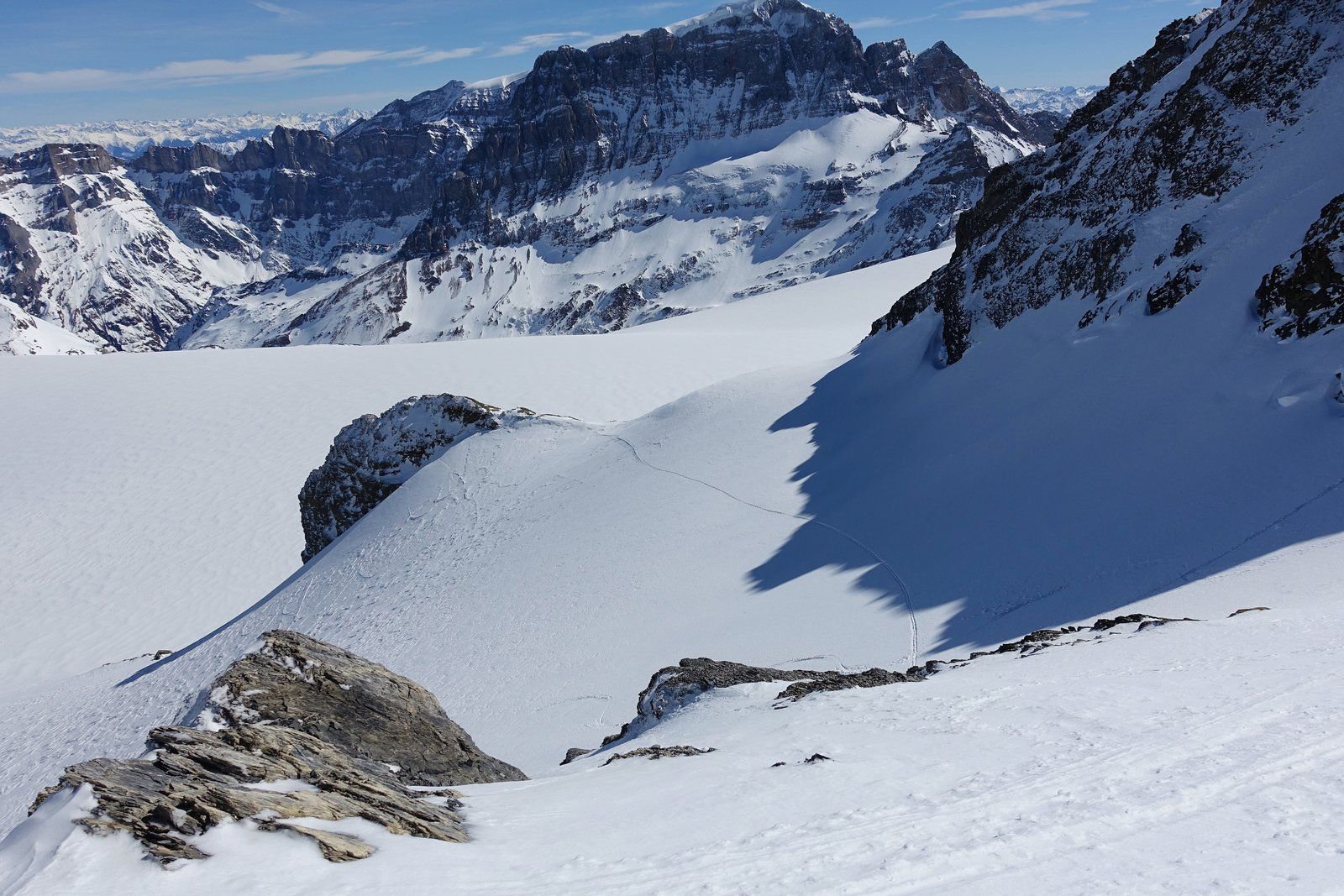
From the lodge it goes gently uphill over moraines to below the south face of the Gemsfairenstock. There you encounter the glacier.
Attention: From there on, glacier ascent. The use of glacier equipment may be necessary!
Now you follow the flat glacier further towards W/SW and always stay in the flatest terrain.
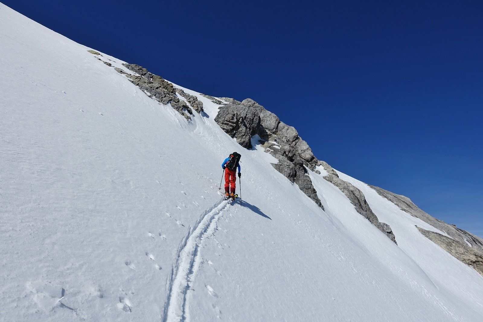
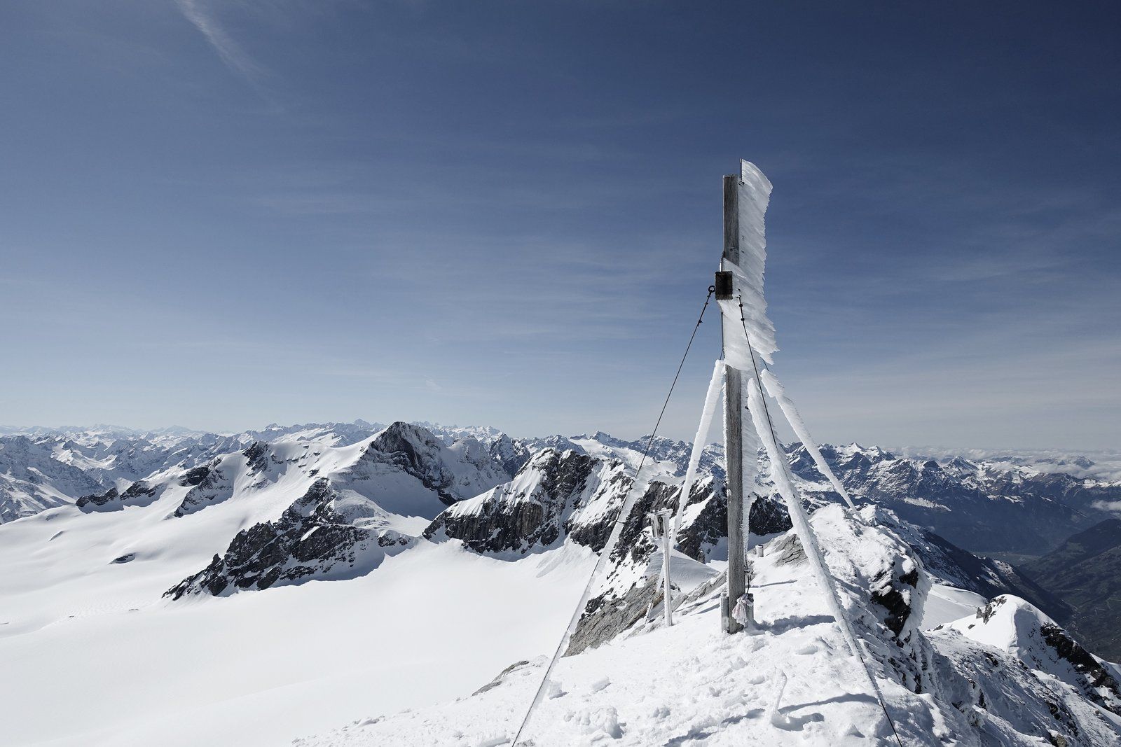
The summit ascent to the Clariden then leads to a small ridge (~3150m). From there one traverses steeply up to the edge, from where one climbs the last 60 meters again in less difficult terrain.
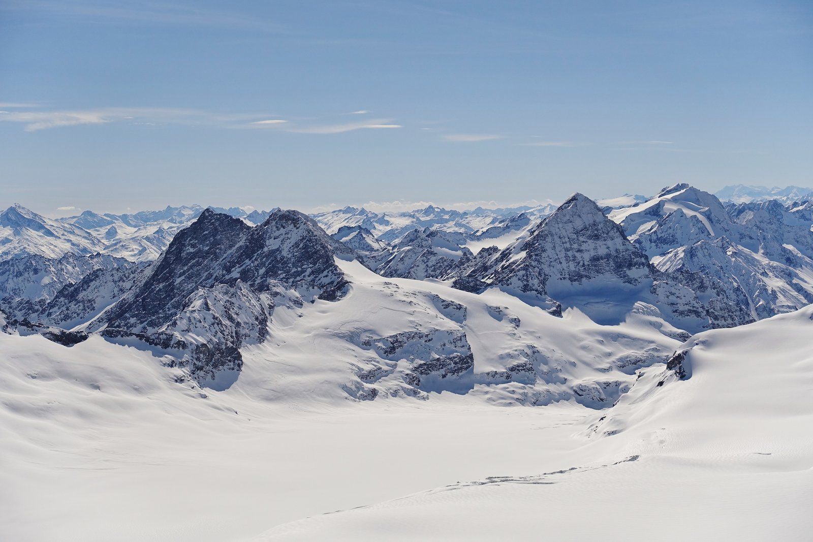
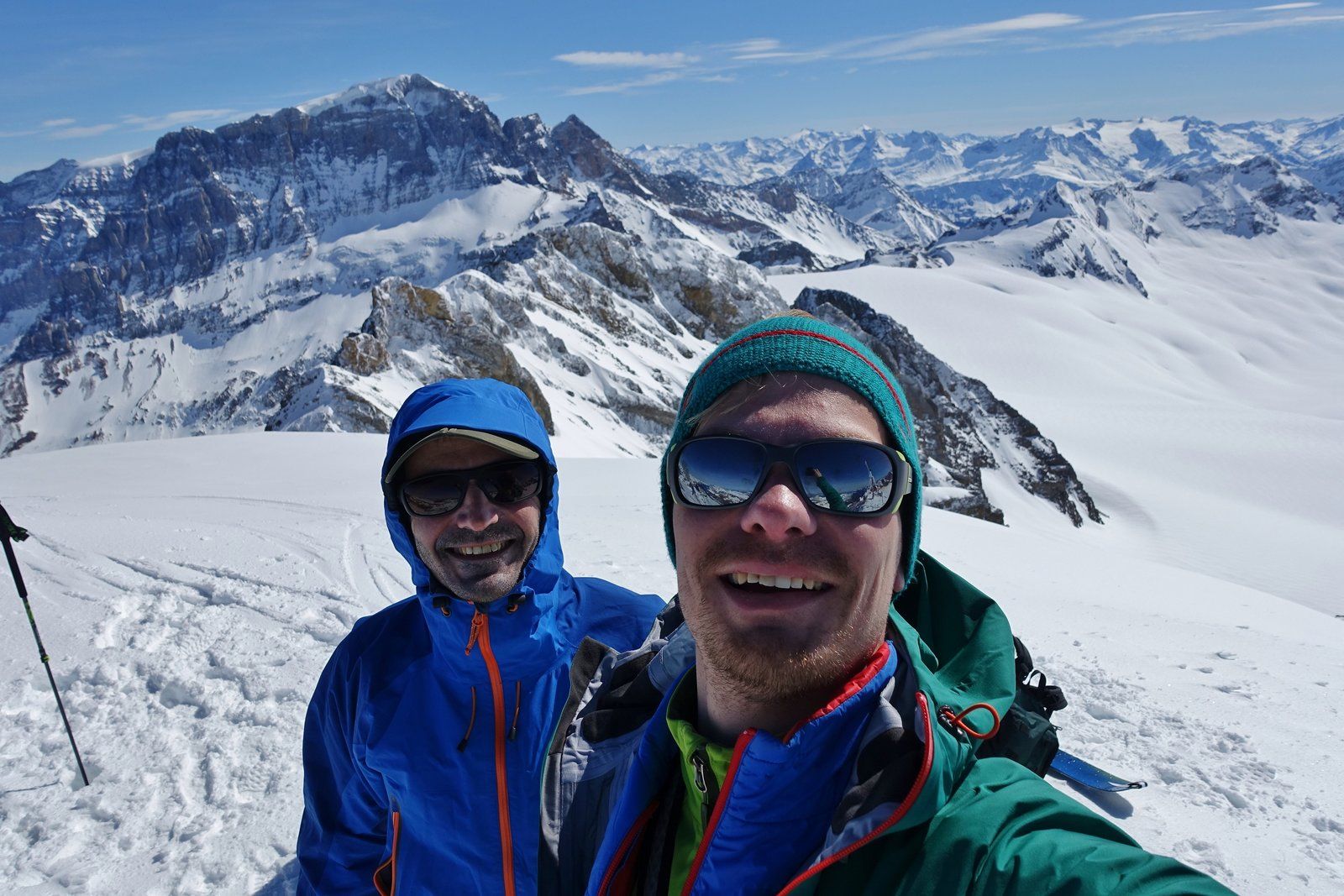
From the summit you have a magnificent panoramic view of the Glarus Alps and far into the lowlands towards Zurich. Eye-catcher is the massive mountain stick of the Tödi.
Descent & Variants
Descent like ascent.
Alternatively, you can continue to the Planura hut. For this you can ride from the already mentioned ridge over a steep southcouloir in direct line to the glacier plateau.
Photo Gallery
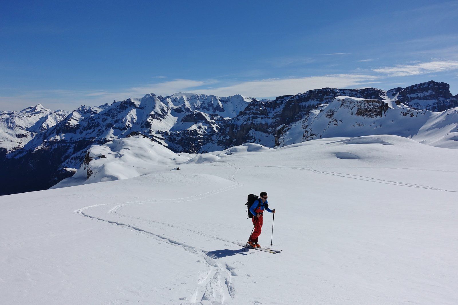
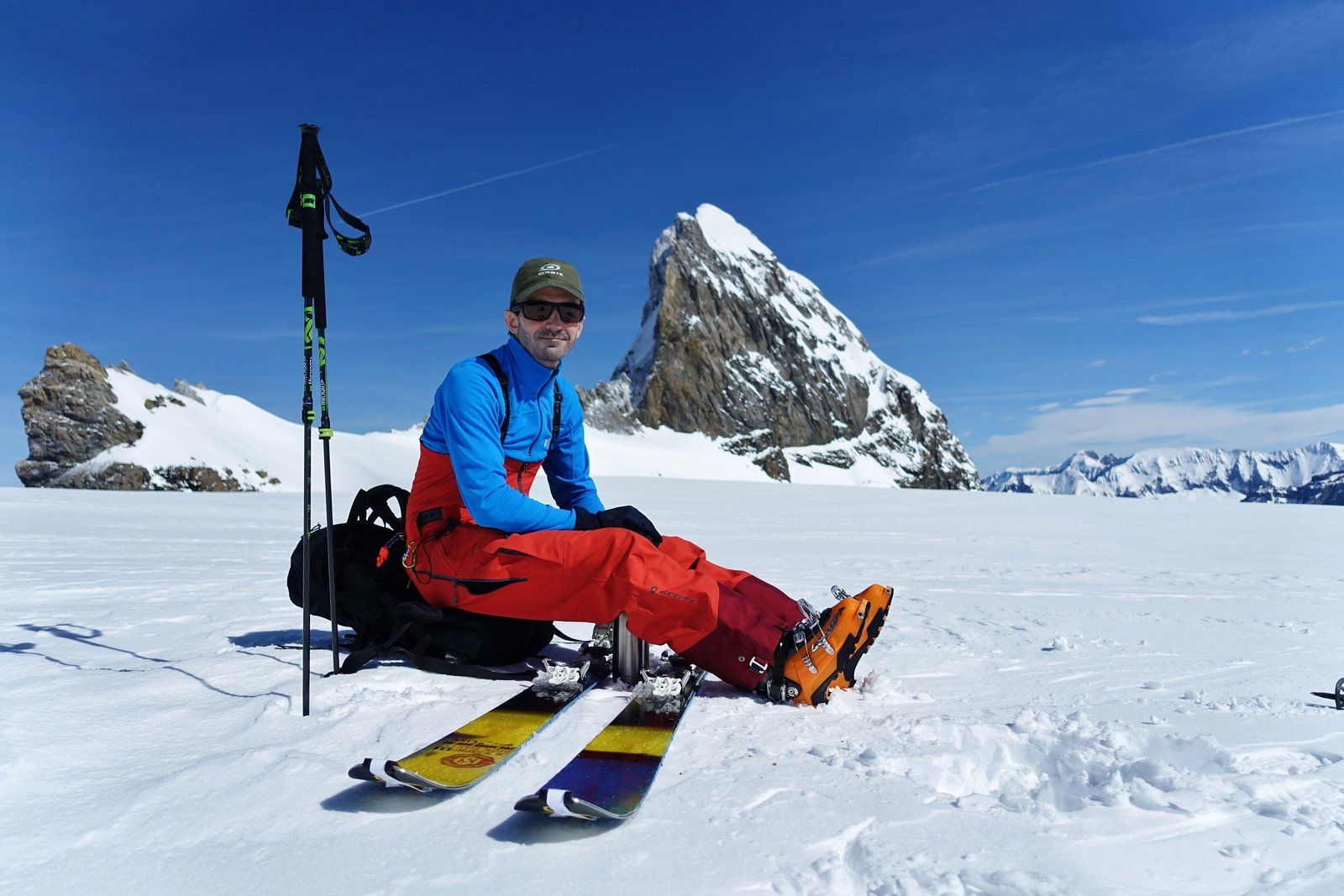
A selection of 10 photos from the tour:
Map and Avalanche Risk
[ASTRO_MAP_INFO_EN]
Image Gallery (10 Photos)
Show all 7 more photos
Slope Map
Tour Planning & Important Notes (OpenSlopeMap)
Tour Planning
You can plan and create your own tour directly in the map. The tour can then be downloaded as a GPX track.
Disclaimer
Every user of the map agrees to use the maps provided on OpenSlopeMap.org at their own responsibility and risk. OpenSlopeMap.org and its operators accept no responsibility for damages.
Map Explanation
- Slope inclinations are a very important criterion in avalanche risk management. However, slope inclination alone should never be the sole criterion!
- The resolution for Austria and South Tyrol is based on a digital terrain model (DTM) with 10m resolution. Outside these areas, accuracy is significantly lower.
- A map can only ever provide a limited view of real conditions.
Frequently Asked Questions
How difficult is this splitboard route?
The route is classified with difficulty level 4.
How many vertical meters does the tour include?
The ascent covers approximately 850 vertical meters.
How long does the ascent take?
The tour takes around 4 hours.
Where does the route start?
The starting point of the tour is Urnerboden.