Breiter Grießkogl
Route Character
Very nice, long and demanding splitboard hike (backcountry tour, snowboard tour), with an exciting opportunity to cross the glacier to the next valley. Comfortable possibility to stay overnight at the Winnebachsee Hütte.
Starting Point & Village
Starting point: The village of Winnebach, on the road to park (last turn) before the houses. Village: Längenfeld
Ascent & Route
From Winnebach (above Gries), we assume, enough supplies in our luggage on the well-marked summer trail in the Winnebachtal. After about 30 minutes we reach a small house, the so-called Wasserschloss. Here we can decide whether we cross by good snow conditions the Winnebach and climb underneath the ropeway (usually tracked). Here it goes flat in the valley, until we make a slight left turn to climb to the Winnebachsee Hütte (hut).
Variant: We remain on the left side of the creek and follow the summer trail, mostly on a beautiful ice-covered rocks we pass, to the Winnebachseehütte. Just before you hit the hut, climb the other lane and "mastered" the hut rise. (There are two ways about 700 hm ascent time and 2 hours). After having a delicious meal and beeing relaxed, we continue on the same or the next day. Now the real Backcountry-Fun begins ascending the Breiter Grießkogl with our splitboards or touring-skis. Heading North we hike, initially flat in the sprawling Winnebachkar. At about 2500m, "we turn" left (north-west) to circle the Letschhorn in a sweeping right-hander bypass (if you have enough power and you want to gain the walking pin, you just hike up the Letschhorn as well). Now we continue in impressive high alpine terrain to Zwieselbachjoch. Here we go at the left edge of the Grießkogelferner, passing by some beautiful, mostly visible crevasses up to the summit 3287m. From the top of this impressive mountain, we enjoy a wonderful panoramic view to the Wildspitze, Weißkugel and to the Wilder Kaiser in the East. The Ascent from the hut (Winnebachseehütte) to the summit, lasts about 3 hours, 950 meters of altitude. The tour is usually well attended by ski mountaineers and Backcountry lovers.
Descent & Variants
As ascent, I would like to have a great variation noted (only in real safe conditions and very good splitboard or skiing skills) down to Niedertai, from the top of the Breiter Grieskogel. Hopefully in fine powder or corn snow, we ride to the north and reach the Grasstallferner. In beautiful, extensive grounds, we bypass the crevasses by keeping us on the right. At about 2800m at the foot of the glacier is a steep step. Once we recognize the Grasstalsee, we keep right and ride carefully through some narrow channels to the north-north-west to the Klüft Böden. Now it is almost done, the delicate points have been overcome and we ride on well relaxed to Niedertai. Here begins a new adventure to get back to the car to Winnebach. (There is a bus or cab option. The bus leaves rather rare).
Refreshments & Huts
The Winnebachseehütte offers good food and sleeping facilities. Thus a variant full splitboard / ski weekend is nothing in the way. Early booking is strongly recomended because the Winnebachseehütte is often well attended.
Maps
Kompass Karte: Stubaier Alpen: Wander-, Bike- und Skitourenkarte. 1:50.000
Alpenvereinskarte 31/2 Stubaier Alpen Sellrain 1 : 25 000
Photo Gallery
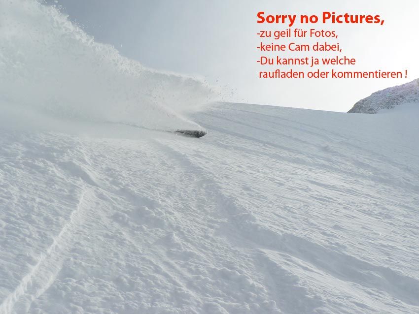
A selection of 1 photos from the tour:
Map and Avalanche Risk
[ASTRO_MAP_INFO_EN]
Image Gallery (1 Photos)
Slope Map
Tour Planning & Important Notes (OpenSlopeMap)
Tour Planning
You can plan and create your own tour directly in the map. The tour can then be downloaded as a GPX track.
Disclaimer
Every user of the map agrees to use the maps provided on OpenSlopeMap.org at their own responsibility and risk. OpenSlopeMap.org and its operators accept no responsibility for damages.
Map Explanation
- Slope inclinations are a very important criterion in avalanche risk management. However, slope inclination alone should never be the sole criterion!
- The resolution for Austria and South Tyrol is based on a digital terrain model (DTM) with 10m resolution. Outside these areas, accuracy is significantly lower.
- A map can only ever provide a limited view of real conditions.
Frequently Asked Questions
How difficult is this splitboard route?
The route is classified with difficulty level 4.
How many vertical meters does the tour include?
The ascent covers approximately 1639 vertical meters.
How long does the ascent take?
The tour takes around 5.5 hours.
Where does the route start?
The starting point of the tour is Längenfeld.