Brauneck - Wegscheid
Route Character
Rise through the ski area Brauneck starting at Wegscheid, mostly through the forest with scattered slope passages. Descent mainly on the slopes of the resort, therefore feasable, even in critical avalanche conditions. Much-used tour,g therefore usually already tracked and easy to find. If possible, avoid abbreviations on the slopes (disputes between tourers and ski-lift operators)
Starting Point & Village
Starting point: Parking lot of the ski resort in Wegscheid Village: Lenggries
Ascent & Route
Ascent to the left of the left lifts (first ascent usually easily recognizable as prepared). From the end of the first slope over the bridge straight up through the forest. Always follow the touring trails (there are several variants, but all lead to the Ahornkessel) up to the free northern slope of the Ahornkessel, here are descents in the caldron possible. After the crossing of the slope follow the trail behind the from the left coming drag lift track, south of the tour path until you come out of the forest. From here you can see on the right hand already the top station and the summit house above it.
Descent & Variants
Descent is through the ski area over the family descent. Descent on the ascent trail should not be run because the tour is very highly frequented. Off-piste skiing are only recommended if you know the place. Rewarding for steeper slopes off piste is an ascent direction Idealhang or Stialm.
Photo Gallery
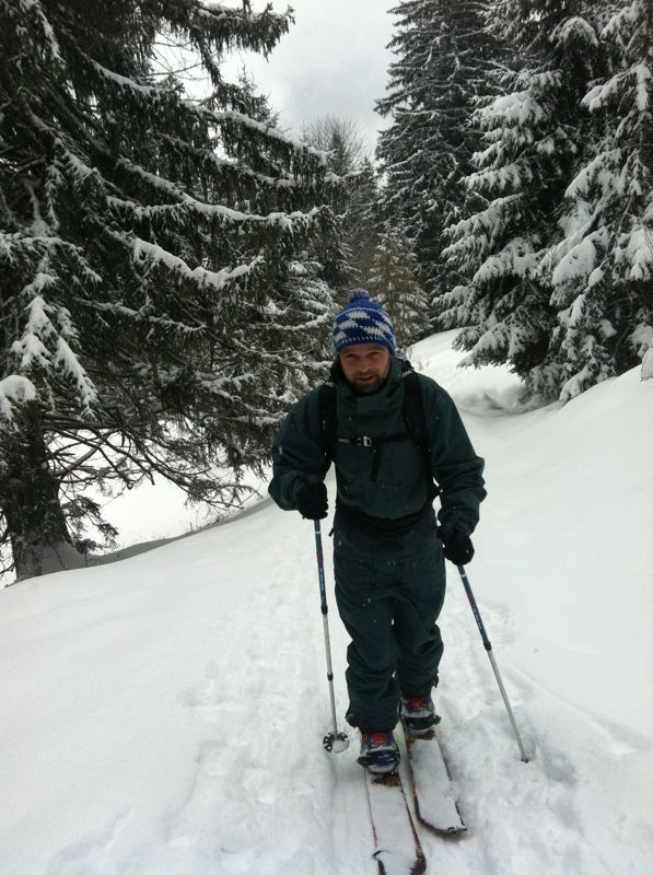
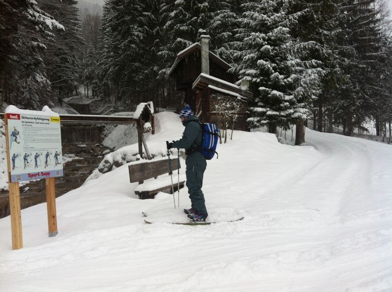
A selection of 2 photos from the tour:
Map and Avalanche Risk
[ASTRO_MAP_INFO_EN]
Image Gallery (2 Photos)
Frequently Asked Questions
How difficult is this splitboard route?
The route is classified with difficulty level 3.
How many vertical meters does the tour include?
The ascent covers approximately 880 vertical meters.
How long does the ascent take?
The tour takes around 2.5 hours.
Where does the route start?
The starting point of the tour is Lenggries.