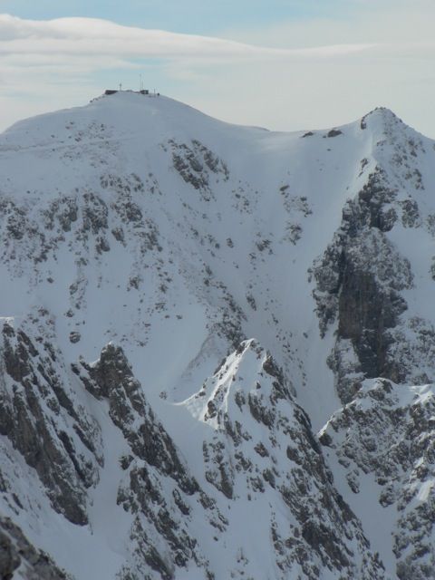
Arzler Scharte
Route Character
Taking the short-cut with the cable you will have fun to the north and the south, beware this Splitboard / Backcountry-Tour is feasible only in very safe conditions. Please note North and south exposition must fit.
Starting Point & Village
Starting point: Mountain station Hafelekar Village: Innsbruck
Ascent & Route
From the top station Hafelekar we walk in a few minutes upt to the summit Hafelekarspitze, here we do the first ride of this backcountry experience. Our splitboards in ride mode, we look forward to a challenging descent. Either right from here (very steep!) Through a narrow channel down-ward into Gleirschkar NO. We circle the Gleirschzähne in a right turn towards the east and enter the Mühlkar.
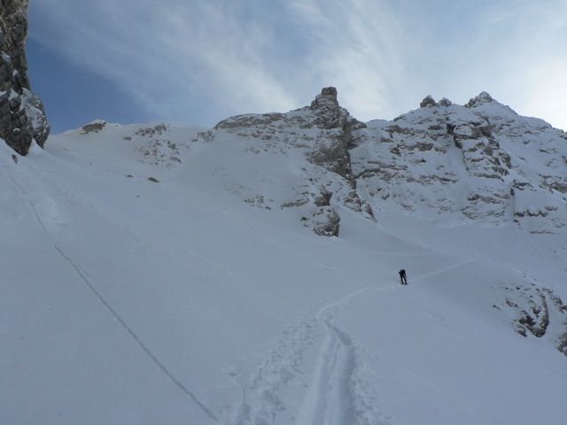
Variation: We continue to hike up to the Gleirsch Spitzeand ride down very steeply towards the north-east into Mühlkar. Due to the variation we change our splitboards to hiking-mode either in Gleirschkar or Mühlkar and go east-northeast to Mandlscharte. In many switchbacks we can achieve this and already look into the Arzler Scharte.
Descent & Variants
Fairly constant at about 35 degrees, the Arzler Sharte moves downward and becomes the Arzler Reise. A wonderful Backcoutry-Ride for splitboard and ski lovers. Please take care of avalanches! Many time it is danger of avalanches!
At about 1220m just before the Ursprung we keep to the right, (direction west) and then to Arzler Alm 1067m. Once there, we get some good food and something to quench our thirst. We enjoy the sun and take the ride down directly to the Hungerburg. Good snow conditions are a must. If not you just hike down to the station of the cable car.
Refreshments & Huts
The Kaspressknödel at Arzler Alm are excellent and the other meals are good. Beautiful views and fine opportunity to meet with the family after this Backcountry- Ride. Children’s playground is also available.
Maps
Kompass Karte Karwendelgebirge: Wander-, Rad- und Skitourenkarte. 1:50.000
Kompass Karte Innsbruck und Umgebung: Wander-, Rad- und Skitourenkarte. 1:35.000
Alpenvereinskarte 31/5 Innsbruck und Umgebung 1 : 50 000 Skirouten
Photo Gallery
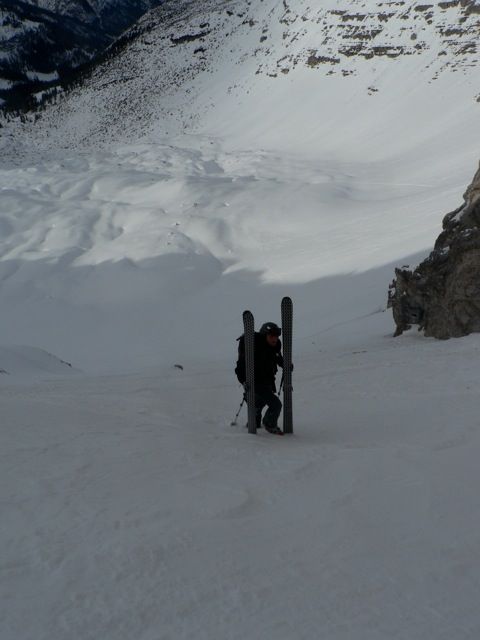
A selection of 3 photos from the tour:
Map and Avalanche Risk
[ASTRO_MAP_INFO_EN]
Image Gallery (3 Photos)
Slope Map
Tour Planning & Important Notes (OpenSlopeMap)
Tour Planning
You can plan and create your own tour directly in the map. The tour can then be downloaded as a GPX track.
Disclaimer
Every user of the map agrees to use the maps provided on OpenSlopeMap.org at their own responsibility and risk. OpenSlopeMap.org and its operators accept no responsibility for damages.
Map Explanation
- Slope inclinations are a very important criterion in avalanche risk management. However, slope inclination alone should never be the sole criterion!
- The resolution for Austria and South Tyrol is based on a digital terrain model (DTM) with 10m resolution. Outside these areas, accuracy is significantly lower.
- A map can only ever provide a limited view of real conditions.
Frequently Asked Questions
How difficult is this splitboard route?
The route is classified with difficulty level 5.
How many vertical meters does the tour include?
The ascent covers approximately 500 vertical meters.
How long does the ascent take?
The tour takes around 2 hours.
Where does the route start?
The starting point of the tour is Innsbruck.