Ammergauer Kreuzspitze
Route Character
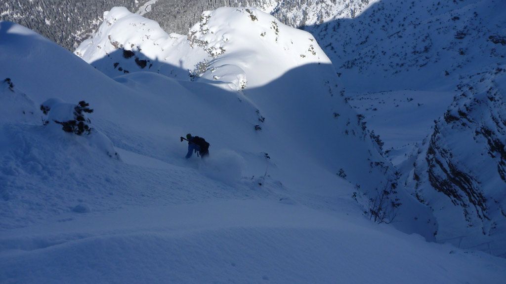
Fantastic, steep Splitboard route in the Ammergauer Alps. With great panoramic views and a classy downhill. Only for experienced Splitboarders and with safe conditions.
Starting Point & Village
Starting point: Graswangtal at the road between Linderhof and Ammerwald. You can paark between the avalanche gate and the sign “Grenze 1km” at the roadside. You miight have spotted the steep cwm already. Most times there are some cars parked there (directly after the sign “Grenze 1km”). Village: Ettal
Ascent & Route
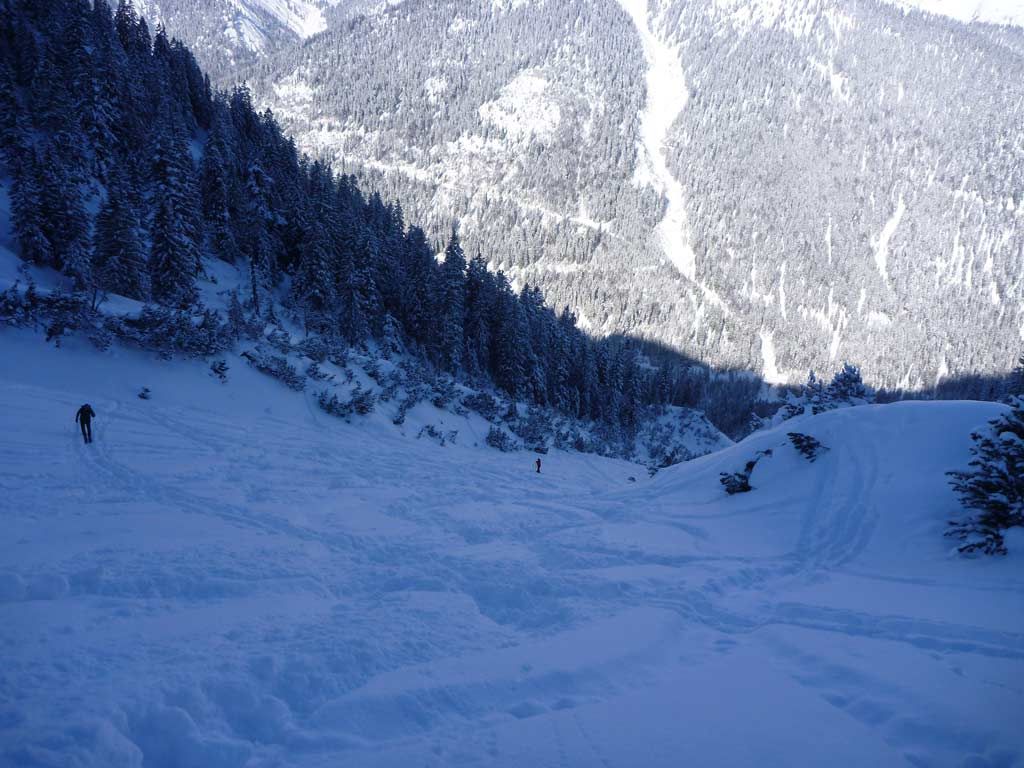
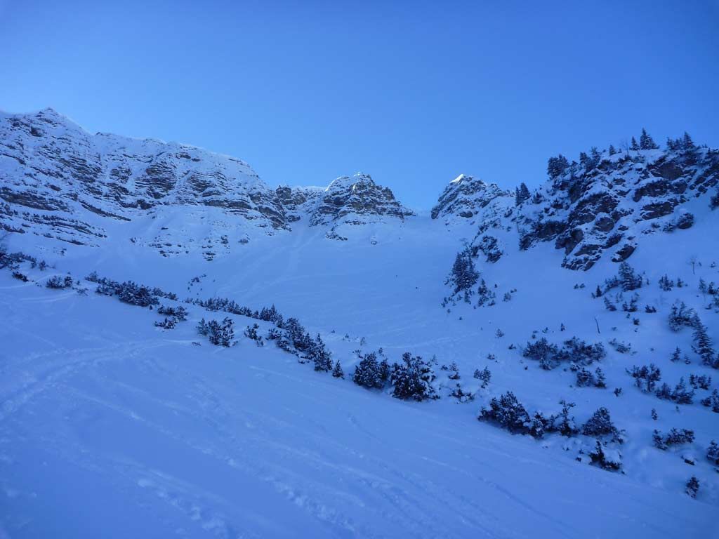
After parking your car you cross the guardrail and descend (already in split-mode) a few meters down to the stream bed (Neualpgris) and cross the stream at an appropriate spot. Now you can already see the middle-steep cwm (foothill of Hochgrieskar) and you can start to hike up, in the beginning through sparse forest till you reach a forest clearing. You follow the clearing until just before a prominent rock face (1500m). Here you turn to the right (West) to the wonderful steep slope of your later descent.
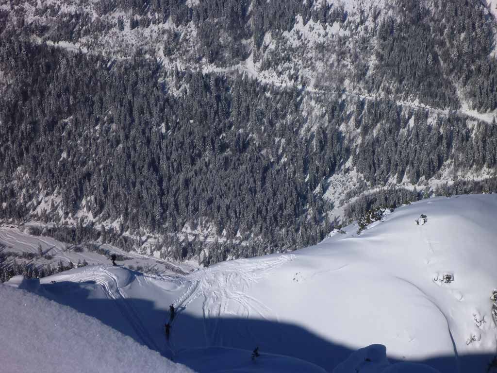
It goes up with many kick-turns till you reach the end of the cwm. About 50 meters before the end you exit the cwm to the right to a col and then left along the alpine-pine covered ridge steep on to Schwarzköpfl (1895m).
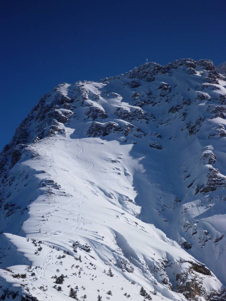
Those who are only here for the fat downhill can take a break here and prepare for the descent (there is a nice channel). Those who want to take the summit of Kreuzspitze, continue on the ridge with safe distance to the cornices. The summit can already be seen (not worthwhile for downhill). Anyway, if you want to go up you continue to the East (slightly right of the ridge) and climb the Ammergauer Kreuzspitze on steep cliffy terrain. The final is a not too demanding snowy edge to the exposed and view rich summit.
Descent & Variants
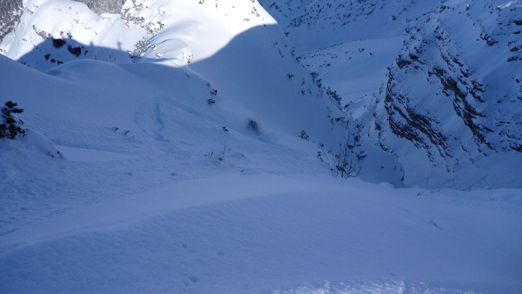
Along the ascent route. However you can enter the slope through a channel (approx. 45°) from Schwarzenköpfl).
Maps
Kompass Karte 05: Oberammergau / Ammertal, 1:35.000
Photo Gallery
A selection of 6 photos from the tour:
Map and Avalanche Risk
[ASTRO_MAP_INFO_EN]
Image Gallery (6 Photos)
Show all 3 more photos
Slope Map
Tour Planning & Important Notes (OpenSlopeMap)
Tour Planning
You can plan and create your own tour directly in the map. The tour can then be downloaded as a GPX track.
Disclaimer
Every user of the map agrees to use the maps provided on OpenSlopeMap.org at their own responsibility and risk. OpenSlopeMap.org and its operators accept no responsibility for damages.
Map Explanation
- Slope inclinations are a very important criterion in avalanche risk management. However, slope inclination alone should never be the sole criterion!
- The resolution for Austria and South Tyrol is based on a digital terrain model (DTM) with 10m resolution. Outside these areas, accuracy is significantly lower.
- A map can only ever provide a limited view of real conditions.
Frequently Asked Questions
How difficult is this splitboard route?
The route is classified with difficulty level 4.
How many vertical meters does the tour include?
The ascent covers approximately 1149 vertical meters.
How long does the ascent take?
The tour takes around 3 hours.
Where does the route start?
The starting point of the tour is Ettal.