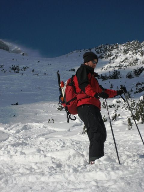
Alpspitze
Route Character
The Alpspitze, one of the major peaks in Garmisch-Partenkirchen is a challenging goal for splitboard / ski mountaineer and ski tourers. Splitboard crampons, ice ax and crampons may contribute to safety. Add 30 minutes ascent on the way down to your schedule, but it's worth the effort.
Starting Point & Village
Starting point: Parking Osterfelderbahn Village: Garmisch-Partenkirchen
Ascent & Route
We start at the top of the Osterfelder cable car (Alpspitzbahn) at approx 2030m. First we ride down to the bottom station of the former Bernadeinlift. Here the ascent to Alpspitze begins (1100 m ascent). We follow the sign through the forest to the east, our touring ski / splitboard skins mounted,. Once we see the Stuibenwand, we turn on the clearing to the south into a small valley. We follow the valley and on about a altitude of 1600m we go on to Stuibensee in a southwesterly direction. We bypass a steep step by hiking up into the next little valley. Once the step is bypassed, we first briefly walk to the west to reach the shoulder of the Alpspitze in a left curve from Oberkar.
Now, on the east-south-east ridge, an important decision of this splitboard / ski tour has to be made. Can we do the steep to very steep peak slope (up to 40°)? Do we have appropriate snow conditions (good firn) and enough skills?
Yes - then we continue with our splitboards or touring skis on the backpack.
No - then we set the ski depot here and continue by foot to the summit of Alpspize 2597m.
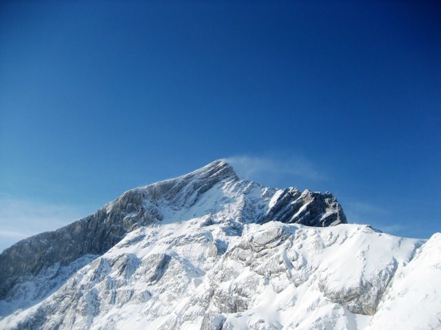
The panorama views are breathtaking, the whole Werdenfels can be admired as far as to Lake Starnberg.
Descent & Variants
Descent is from the depot along the ascent route.
Those who made the peak slope join the ascent route at the ski depot for the further downhill.
A 30-minute ascent back to the former Bernadeienlift is the downside, but then you ride down the slopes directly back to the parking lot.
Maps
Wettersteingebirge, Zugspitze: Topographische Karte1:25.000 mit Wegmarkierungen und Skirouten
Photo Gallery
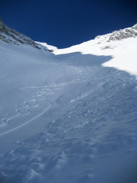
A selection of 3 photos from the tour:
Map and Avalanche Risk
[ASTRO_MAP_INFO_EN]
Image Gallery (3 Photos)
Slope Map
Tour Planning & Important Notes (OpenSlopeMap)
Tour Planning
You can plan and create your own tour directly in the map. The tour can then be downloaded as a GPX track.
Disclaimer
Every user of the map agrees to use the maps provided on OpenSlopeMap.org at their own responsibility and risk. OpenSlopeMap.org and its operators accept no responsibility for damages.
Map Explanation
- Slope inclinations are a very important criterion in avalanche risk management. However, slope inclination alone should never be the sole criterion!
- The resolution for Austria and South Tyrol is based on a digital terrain model (DTM) with 10m resolution. Outside these areas, accuracy is significantly lower.
- A map can only ever provide a limited view of real conditions.
Frequently Asked Questions
How difficult is this splitboard route?
The route is classified with difficulty level 5.
How many vertical meters does the tour include?
The ascent covers approximately 1100 vertical meters.
How long does the ascent take?
The tour takes around 4 hours.
Where does the route start?
The starting point of the tour is Garmisch-Partenkirchen.