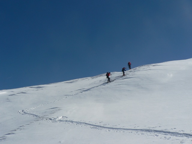
Allerleigruben Spitze
Route Character
More or less easy splitboard / ski tour with nice downhill variants. Often frequented but mostly with good powder.
Starting Point & Village
Starting point:
Waldesruh inn, there is plenty of parking space (parking-fee required) available to be used by splitboarders and ski friends.
Village: Obernberg am BrennerAscent & Route
First we go to the toboggan run toward Obernberger See. At about 1486 m, we reach a mountain pasture, where we hike up a forest path until we reach about 1900 m free splitboard terrain (backcountry area). When it is untracked it is demanded of us some guidance to get through the sometimes dense forest. We continue, as before, to the east, until we reach the broad back of the top All sorts of mines. Now we turn our splitboard noses to the south and hike moderately steeply to the summit of the Allerleigrubenspitze at 2131
Descent & Variants
As ascent, at the summit we can check several variants, some of them end up in dense woods or a creek bed, so it can be a little uncomfortable. If someone knows about or has the right powder nose with built in glade detection, it is also very nice, but sometimes find avalanche prone variants. At inn Waldesruh we can meet other splitboard and ski friends for a talk, a snack or something to drink.
Refreshments & Huts
Gasthof Waldesruh, from home style food to sweets.
Maps
Kompass Karte 83, Stubaier Alpen, 1:50.000
Alpenvereinskarte 31/3 Brennerberge 1 : 50 000
Photo Gallery
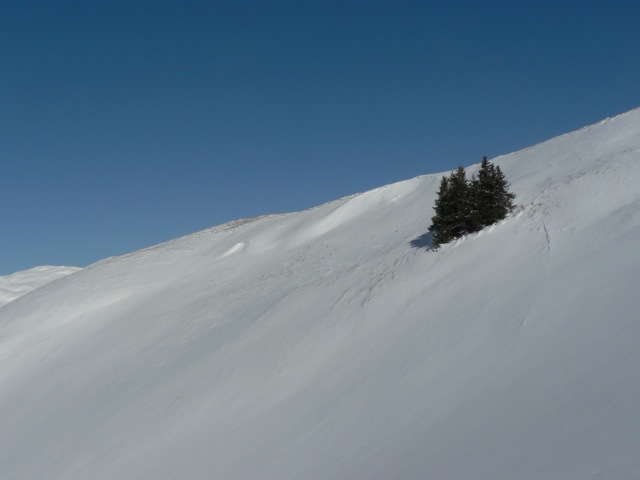
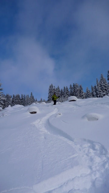
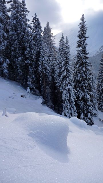
A selection of 4 photos from the tour:
Map and Avalanche Risk
[ASTRO_MAP_INFO_EN]
Image Gallery (4 Photos)
Show all 1 more photos
Slope Map
Tour Planning & Important Notes (OpenSlopeMap)
Tour Planning
You can plan and create your own tour directly in the map. The tour can then be downloaded as a GPX track.
Disclaimer
Every user of the map agrees to use the maps provided on OpenSlopeMap.org at their own responsibility and risk. OpenSlopeMap.org and its operators accept no responsibility for damages.
Map Explanation
- Slope inclinations are a very important criterion in avalanche risk management. However, slope inclination alone should never be the sole criterion!
- The resolution for Austria and South Tyrol is based on a digital terrain model (DTM) with 10m resolution. Outside these areas, accuracy is significantly lower.
- A map can only ever provide a limited view of real conditions.
Frequently Asked Questions
How difficult is this splitboard route?
The route is classified with difficulty level 3.
How many vertical meters does the tour include?
The ascent covers approximately 700 vertical meters.
How long does the ascent take?
The tour takes around 2.25 hours.
Where does the route start?
The starting point of the tour is Obernberg am Brenner.