Aignerhoehe
Route Character
Beautiful split board / ski tour for beginners or as a bad weather destination. However, with some pesky flat pieces.
Starting Point & Village
Starting point:
The tour starts immediately at the small hamlet Wald at 1340 meters above sea level at the south portal of the tunnel. Access is on the valley road from Zedernhaus to the northwest to the entrance of the Riedingtal directly at the tunnel portal. Parking at the transformer station.
Village: Wald im PinzgauAscent & Route
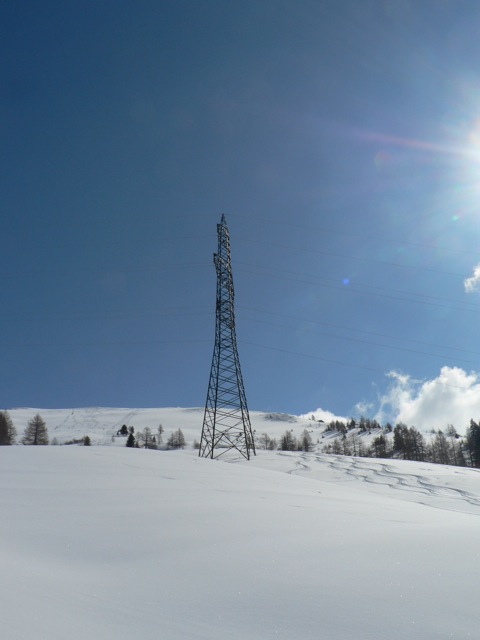
From the toll gate already described ( Schöpfing or Kempen ), we can turn to the right (east) onto a mountain road that leads to Neuseßwirtalm. (The short cut is on the grassy slope, toward the north. You'll realize where when you are on site.) From the Neuseßwirtalm the mountain road continues north along the Großen Kesselbachs to Muhreralm. Shortly before the Muhreralm, we turn right (east) on a bridge and from there we hike up a light-wooded slope (mountain road) up to Aigneralm. From now on the broad pasture, not too steep up the northwest slope (crossing under the power line) to the highest point of the elongated ridge of Aignerhöhe.
If you can't get enough and if you want to practice putting skins up and down, you can ride down south-eastwards to reach the Tremmingeralm. About 300 meters ascent to the east, you'll reach the Labspitze (2222 m). Return with ascent to Aignerhöhe again (total about one and a half hours and about 500 meters more in vertical height).
Descent & Variants
= ascent, towards the bottom take up speed to overcome the flat piece. Here the country skiers have a decent advantage.
Maps
Kompass Wander-Rad-Skitourenkarte, Lungau / Radstätter Tauern, Nr.67, 1:50000
Photo Gallery
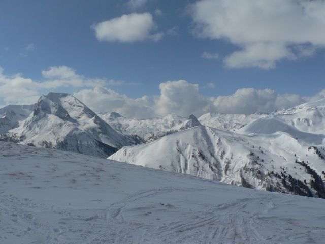
A selection of 2 photos from the tour:
Map and Avalanche Risk
[ASTRO_MAP_INFO_EN]
Image Gallery (2 Photos)
Slope Map
Tour Planning & Important Notes (OpenSlopeMap)
Tour Planning
You can plan and create your own tour directly in the map. The tour can then be downloaded as a GPX track.
Disclaimer
Every user of the map agrees to use the maps provided on OpenSlopeMap.org at their own responsibility and risk. OpenSlopeMap.org and its operators accept no responsibility for damages.
Map Explanation
- Slope inclinations are a very important criterion in avalanche risk management. However, slope inclination alone should never be the sole criterion!
- The resolution for Austria and South Tyrol is based on a digital terrain model (DTM) with 10m resolution. Outside these areas, accuracy is significantly lower.
- A map can only ever provide a limited view of real conditions.
Frequently Asked Questions
How difficult is this splitboard route?
The route is classified with difficulty level 2.
How many vertical meters does the tour include?
The ascent covers approximately 754 vertical meters.
How long does the ascent take?
The tour takes around 2.5 hours.
Where does the route start?
The starting point of the tour is Wald im Pinzgau.