Ahornstein via Wastlalm
Route Character
Short, easy, but mainly in the upper part very scenic route on the edge of the Dienten ski resort. Can be done with all snow conditions, perfect as early winter tour before the resort opens.
Starting Point & Village
Starting point: Free Parking Zachholfalm Bahn (4seat chair lift), Dienten am Hochkönig. Arriving from Mühlbach take the last parking possibility on the left, so you can start your tour right behind the valley station of Zachholfalmbahn parallel to the Liebeaulift (T-bar). Village: Dienten
Ascent & Route
Start on the piste along the t-bar Liebenau. Above the exit of the t-bar, a forrest road leads to the left which you follow for about half an hour. Then a small path branches off to the left, signposted Bürglalm. After ten more minutes the path meet with a blue piste (cat-track) of the ski resort. We follow the cat-track uphill (left) till we cross the Bürglalm chairlift again. From here on you can hike up on the piste, pretty comfortable in early winter before the resort opens and with low or no snow conditions as the slope is artifically snowed. We reach the top station of Bürglalmbahn (1651m).
From here we continue alongside the t-bar to Wastlhöhe and on to the summit cross next to the top station of Zachhofalmbahn (1737m). Great views!
Approx. 50 meters below the station (already viewable from station and summit) you turn off the piste to the right and along the ridge up in direction Ahornstein. After 20 to 30 minutes following the ridge you reach Ahornstein. One time you come through hollow, where switching to ride mode is not worth at all. From Ahornstein you have great views of the surrounding and further mountains (i.a. Großglockner).
Descent & Variants
Depending on snow conditions hike the same way back to the piste at the top station of Zachhofalm or ride down to the top station of Dacheggbahn. From there you have various possibilities to ride down on the pistes which is charming if the resort is still closed and/or snow conditions offpiste are not sufficient as the pistes are artificially snowed. If you have enough snow and depending on avalanche situation, you can also choose lines directly from Ahornstein.
Photo Gallery
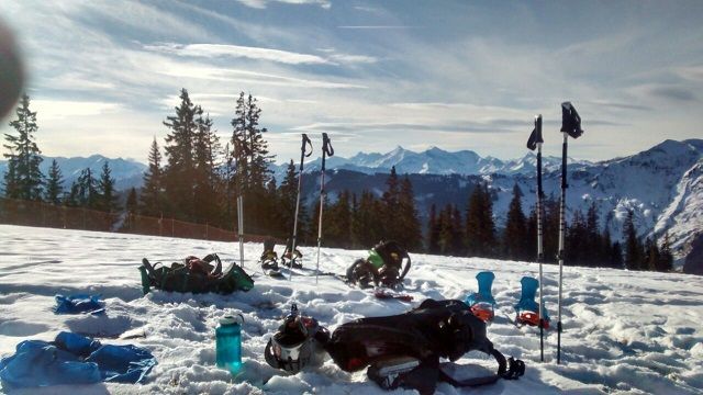
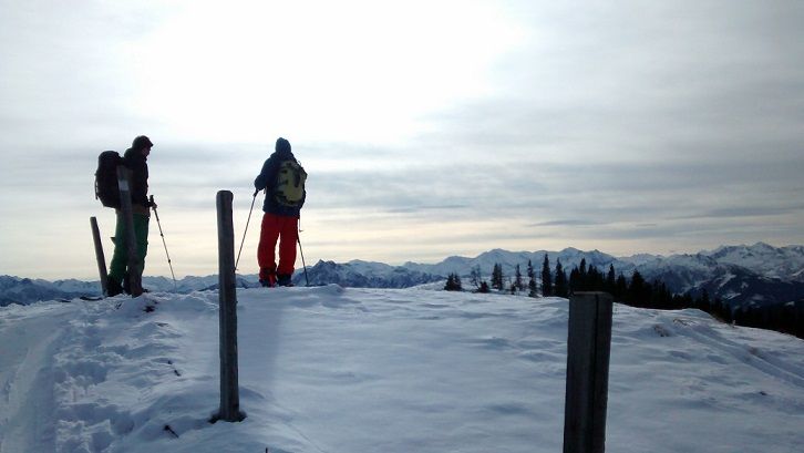
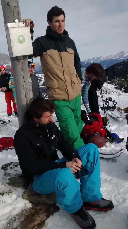
A selection of 3 photos from the tour:
Map and Avalanche Risk
[ASTRO_MAP_INFO_EN]
Image Gallery (3 Photos)
Slope Map
Tour Planning & Important Notes (OpenSlopeMap)
Tour Planning
You can plan and create your own tour directly in the map. The tour can then be downloaded as a GPX track.
Disclaimer
Every user of the map agrees to use the maps provided on OpenSlopeMap.org at their own responsibility and risk. OpenSlopeMap.org and its operators accept no responsibility for damages.
Map Explanation
- Slope inclinations are a very important criterion in avalanche risk management. However, slope inclination alone should never be the sole criterion!
- The resolution for Austria and South Tyrol is based on a digital terrain model (DTM) with 10m resolution. Outside these areas, accuracy is significantly lower.
- A map can only ever provide a limited view of real conditions.
Frequently Asked Questions
How difficult is this splitboard route?
The route is classified with difficulty level 2.
How many vertical meters does the tour include?
The ascent covers approximately 650 vertical meters.
How long does the ascent take?
The tour takes around 3 hours.
Where does the route start?
The starting point of the tour is Dienten.