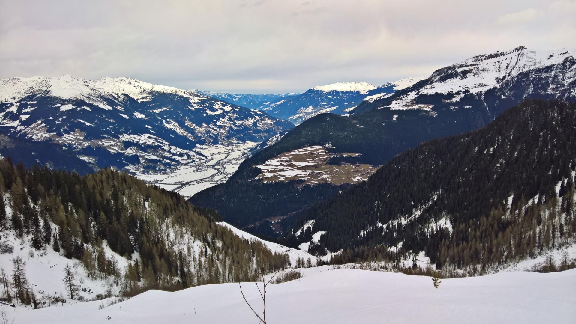
Ahornspitze
Route Character
Long, rather lonely tour with great summit and great downhill runs.
Starting Point & Village
Starting point: Car park of the Ahornbahn in Mayrhofen (15, - EUR per day, if not validated with lift ticket) Village: Mayrhofen
Ascent & Route
From the car park, follow the road uphill to the toll booth and turn left. Soon you leave the inhabited area and cross a bridge. Shortly after that, the footpath bends to the inn Alpenrose. See also hiking trail signpost (Alpenrose, Edelhütte…).
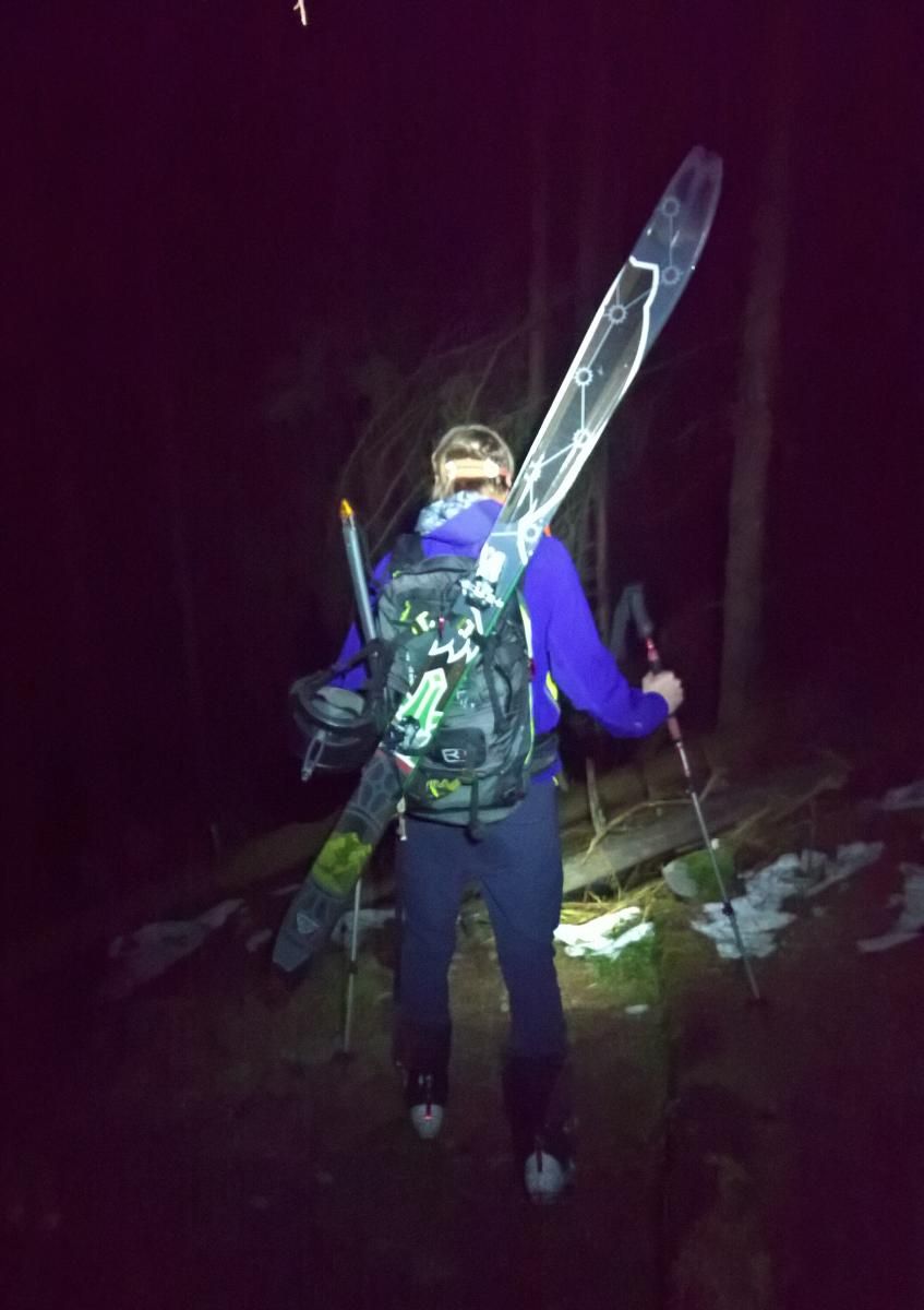
Follow the footpath for about 700m to the inn. The skis or splitboards can also be used in snowy conditions. Otherwise, you”ll have to carry them first.
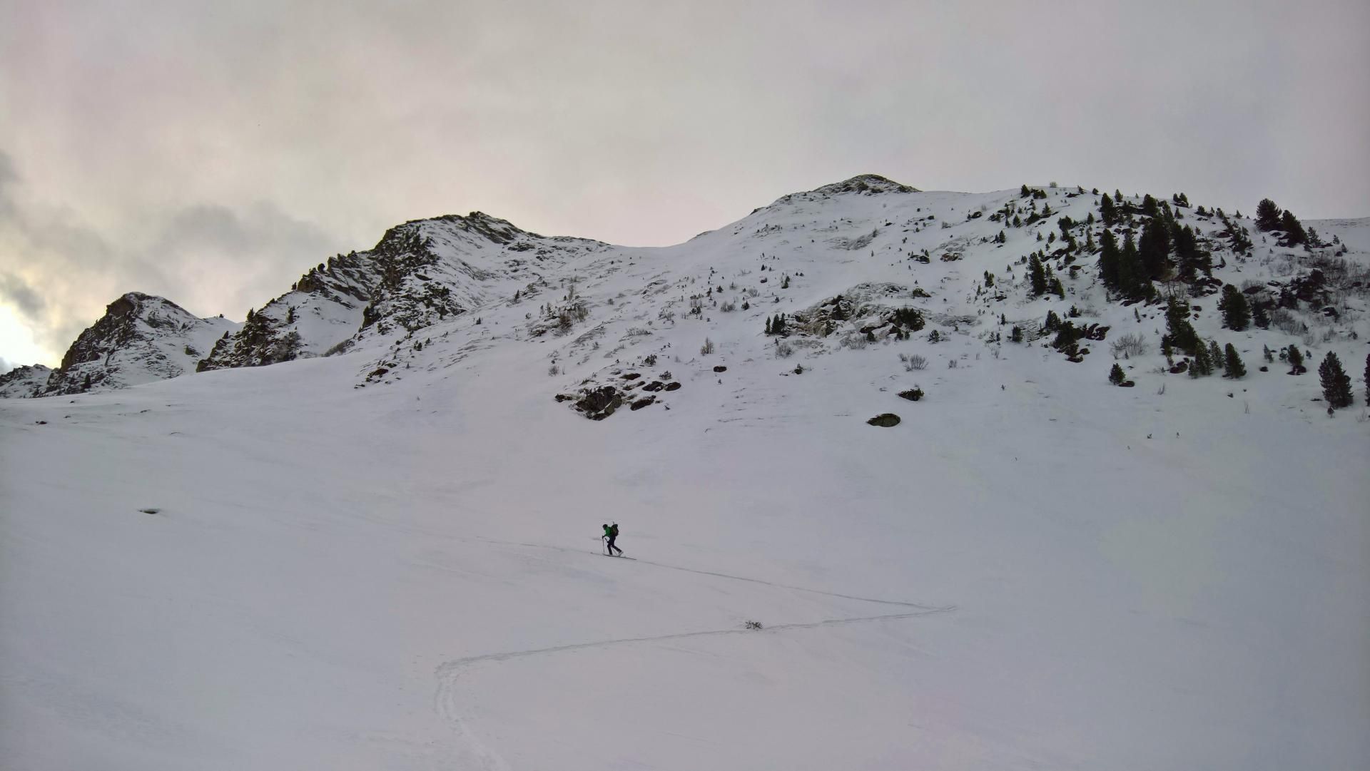
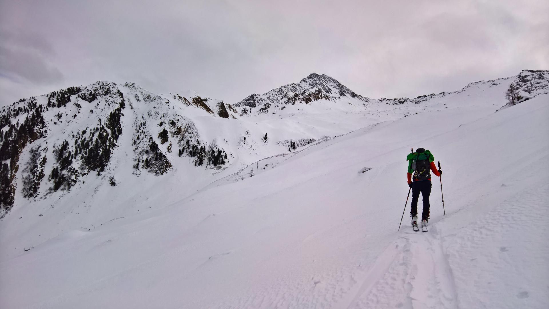
From the inn you follow a forest road up the valley, which makes it much easier to get ahead. It ends at about 1600 meters above sea level at the hunter”s cabin Mitterleger. Now it is best to keep to the right near the steep forest slopes, as the further path tends to be flatter. In the zigzag, one reaches a plateau from where one passes the alternative approaches from the Ahorn mountain station (summer path in the steep forest slope and steep channel from Filzenkogel). However, you should only choose this one in good avalanche conditions, as the terrain is quite steep and dangerous for avalanches.
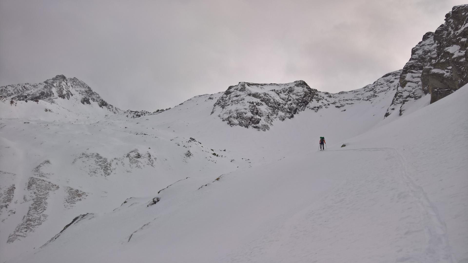
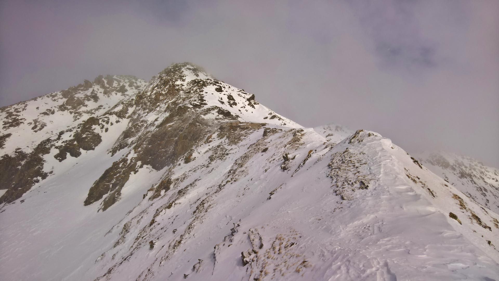
In a wide left-hand bend you keep to the edge of the ridge walls (on the right of the track) until you reach Fellenbergkar. Through this path you finally reach the summit ridge (signpost). Be careful also at the last part up to the ridge, because the terrain becomes steeper again.
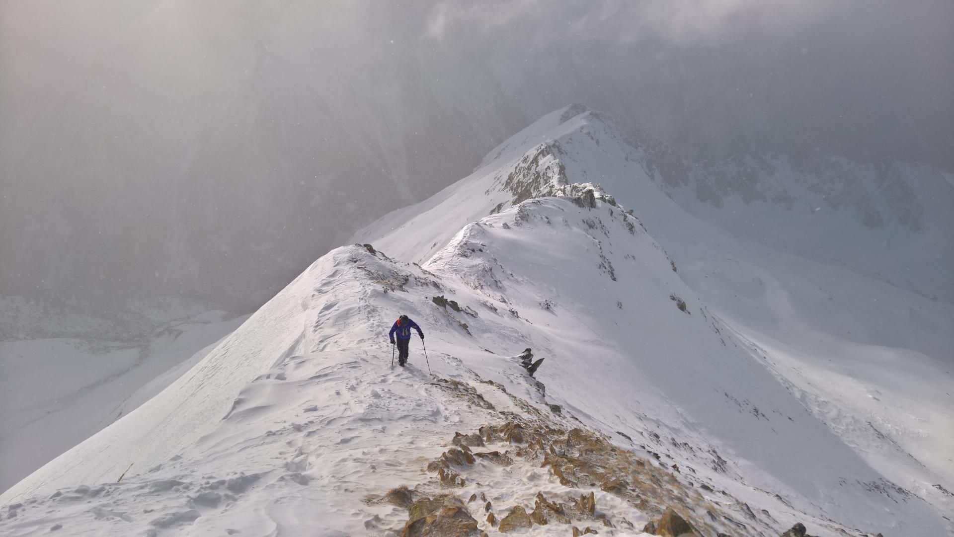
Afterwards in a quite simple climbing you followthe ridge to the top of the ski summit. The side peak with the summit cross can be reached by a narrow, exposed ridge and can also be climbed with the appropriate experience.
Important: This tour is officially considered to be an high-alpine tour, even if there is no danger of crevassing. In case of icing, crampons on the ridge may be urgently necessary. In case of high snowfall you can also dig through deep hip snow at the summit. Under circumstances, a simple touring ice pick is also helpful.
Descent & Variants
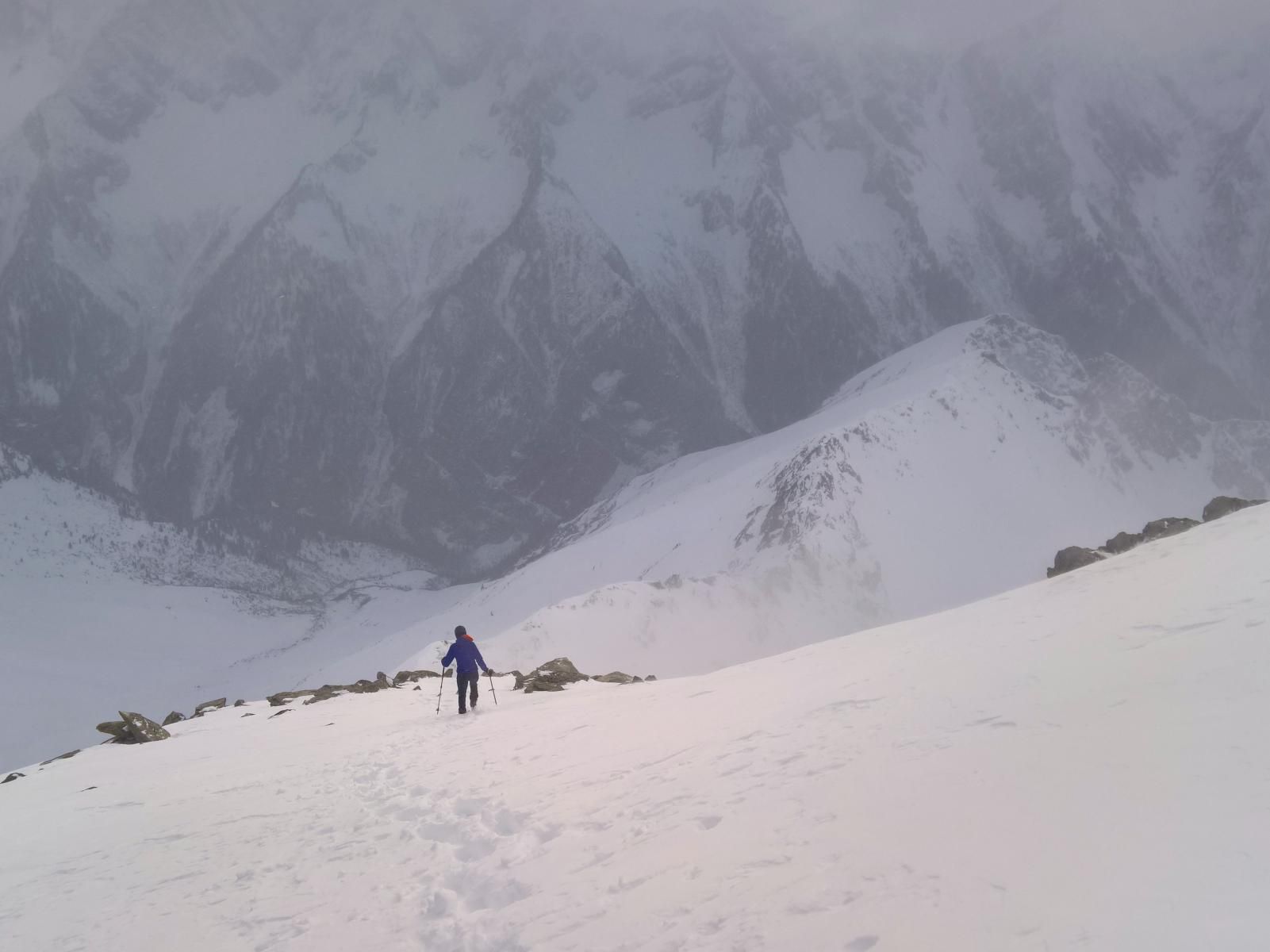
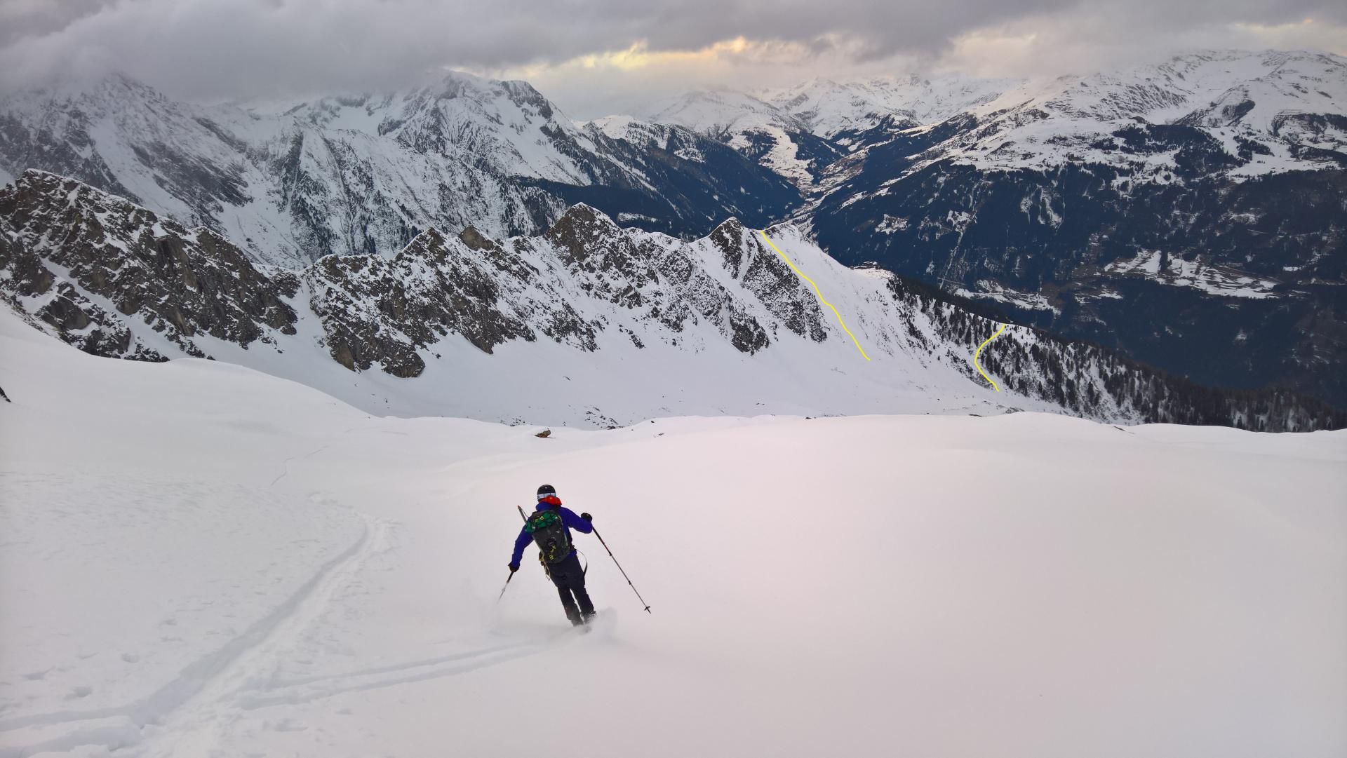
The descent takes place along the access path, where the wide terrain often invites you to play around.
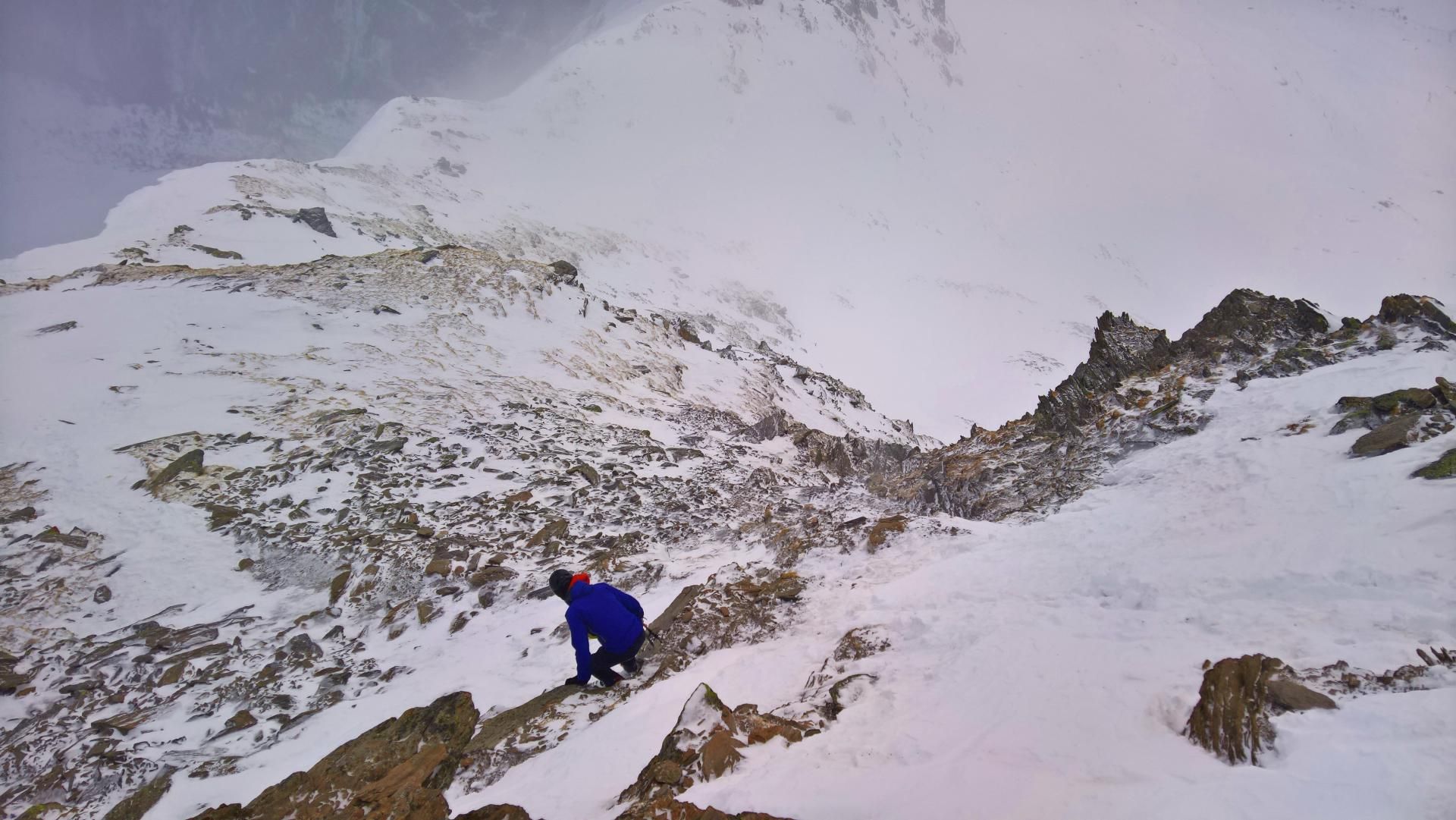
A more extreme variation is the summit couloir between the two peaks, which is visible from a distance. The upper part of the wall is mostly strongly interspersed with rock and the wall itself is also about 45° steep.
If you like, you can also traverse and hike up to the Ahorn mountain station again, at an altitude of about 2000m via the Sommerweg and descend the piste.
From the Alpenrose Inn you can also follow the road to the valley. However, this one ends about 5km away from Mayrhofen, which requires a second car.
Photo Gallery
A selection of 10 photos from the tour:
Map and Avalanche Risk
[ASTRO_MAP_INFO_EN]
Image Gallery (10 Photos)
Show all 7 more photos
Slope Map
Tour Planning & Important Notes (OpenSlopeMap)
Tour Planning
You can plan and create your own tour directly in the map. The tour can then be downloaded as a GPX track.
Disclaimer
Every user of the map agrees to use the maps provided on OpenSlopeMap.org at their own responsibility and risk. OpenSlopeMap.org and its operators accept no responsibility for damages.
Map Explanation
- Slope inclinations are a very important criterion in avalanche risk management. However, slope inclination alone should never be the sole criterion!
- The resolution for Austria and South Tyrol is based on a digital terrain model (DTM) with 10m resolution. Outside these areas, accuracy is significantly lower.
- A map can only ever provide a limited view of real conditions.
Frequently Asked Questions
How difficult is this splitboard route?
The route is classified with difficulty level 5.
How many vertical meters does the tour include?
The ascent covers approximately 2300 vertical meters.
How long does the ascent take?
The tour takes around 8 hours.
Where does the route start?
The starting point of the tour is Mayrhofen.